Browse / Canada / Manitoba / Brandon
Brandon
Manitobacity

Brandon
Total population
46,061
Founded
1882
Air quality index
Demographic figures from Statistics Canada. Overview below cites Wikipedia and may reference a different year.
City facts
Facts from Wikidata (CC0).
Overview
Brandon is the second-largest city in the province of Manitoba, Canada. It is located on the banks of the Assiniboine River in Western Manitoba, approximately 214 kilometres (133 mi) west of the provincial capital, Winnipeg, and 120 kilometres (75 mi) east of the Saskatchewan provincial border. The city covers an area of 77.41 km2 (29.89 sq mi) with a population of 51,313, and a census metropolitan area population of 54,268. Brandon is the primary commercial centre for the Westman Region and parts of southeastern Saskatchewan, a trading area with a population of more than 190,000 people.
Read more on WikipediaHistory & geography
History
Prior to the influx of people from Eastern Canada, the area around Brandon was primarily used by the Sioux people, the Bungays, the Yellow Quills, and the Bird Tails. In the 1870s and early 1880s, the Plains Bison were nearly wiped out by over-hunting. With the destruction of their staff of life, the buffalo, the nomadic Sioux people began to agree to settle in reservations such as the Sioux Valley Dakota Nation, or left the area entirely. French Canadians also passed through the area on river boats on their way to the Hudson Bay Post, Fort Ellice located near present-day St. Lazare, Manitoba. The city of Brandon gets its name from the Blue Hills south of the city, which got their name from a Hudson's Bay trading post known as Brandon House, which got its name from a hill on an island in James Bay where Captain James had anchored his ship in 1631. Post World War II, Brandon experienced a minor disaster when an explosion at the Manitoba Power Commission's steam plant caused the 40 metre (130 ft) brick chimney to collapse, killing two workers in the process.
Geography
Brandon is located in south-western Manitoba, on the banks of the Assiniboine river. It is located in the Canadian Prairies and resides in the aspen parkland ecoregion of the prairies. The terrain is generally flat and rolling surrounding Brandon, and there is a large valley located within the city. The Brandon hills are located to the southeast, from which Brandon got its name. Brandon is west of the provincial capital, Winnipeg; and east of the Saskatchewan border. Brandon has a dry continental climate (Köppen Dfb, USDA Plant Hardiness Zone 2b) with warm, sometimes hot summers and cold, dry winters. Mean maximum daytime temperatures range from in July to in January. Brandon has a fairly dry climate, with of precipitation annually, and as such is located in the Palliser's Triangle region of the Prairies. There is measurable rainfall on 72.2 days throughout the year, and 54.1 days with snowfall. Snow falls from October to April; however, snow has fallen as late as May and as early as September. The highest temperature ever recorded in Brandon was on 11 July 1936, during the 1936 North American heat wave. The lowest temperature ever recorded was on 1 February 1893. |date=January 2026 |source 2= weatherstats.ca (for dewpoint and monthly&yearly average absolute maximum&minimum temperature) }}
Excerpted from the corresponding Wikipedia article (CC BY-SA).
Geography
Coordinates & boundaries from the US Census TIGER/Line shapefiles.
Climate
Air quality
Current readings from Open-Meteo Air Quality API (Copernicus CAMS European reanalysis).
Walkability
Amenities nearby
Wildlife & biodiversity
Most-observed species
- Canada Goose (canadensis Group)Branta canadensis (Linnaeus, 1758) · Aves1,878
- Black-capped ChickadeePoecile atricapillus (Linnaeus, 1766) · Aves1,866
- American CrowCorvus brachyrhynchos C.L.Brehm, 1822 · Aves1,852
- Red-winged BlackbirdAgelaius phoeniceus (Linnaeus, 1766) · Aves1,797
- House SparrowPasser domesticus (Linnaeus, 1758) · Aves1,634
- American RobinTurdus migratorius Linnaeus, 1766 · Aves1,571
- MallardAnas platyrhynchos Linnaeus, 1758 · Aves1,540
- White-breasted NuthatchSitta carolinensis Latham, 1790 · Aves1,154
Citizen-science & research observations from the Global Biodiversity Information Facility (GBIF).
Earthquake history
Events from the USGS Earthquake Catalog (global) (FDSN Event Web Service).
Photos
Sights & places nearby
Notable people from here


People born within ~10 km, from Wikidata (CC0). Click any name for their Wikipedia article.
Nearby places in Manitoba
- Forrest8 mi away
- Hillside Hutterite Colony10.2 mi away
- Newdale Hutterite Colony13.6 mi away
- Deerboine Hutterite Colony14.3 mi away
- Rounthwaite14.5 mi away
- Oakland Hutterite Colony14.5 mi away
- CFB Shilo14.7 mi away
- Fairway Hutterite Colony15.4 mi away
- Carroll17.1 mi away
- Treesbank Hutterite Colony21.8 mi away
- Griswold23.4 mi away
- Sprucewood Hutterite Colony23.5 mi away
Geography & sun
Elevation, sunrise/sunset and daylight from Open-Meteo. Solar climatology from NASA POWER.
Nearby airports
Public attention
Pageview totals from the Wikimedia Pageviews API.
Books about Brandon


Search results from Open Library.
Recent natural events nearby
- 32nd Avenue Wildfire, Rolette, North DakotaWildfires · 2026-05-04 · 69 mi
- Lemon 2 Wildfire, Benson, North DakotaWildfires · 2026-04-23 · 135 mi
Wildfires, storms and other events from NASA EONET (last 12 months, within 250 mi).
Ground air-quality sensors
Recently spotted species
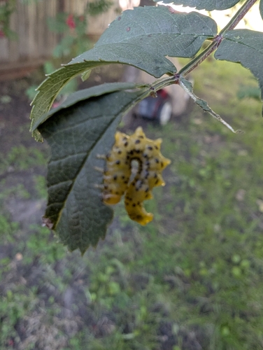
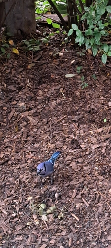
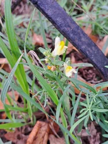
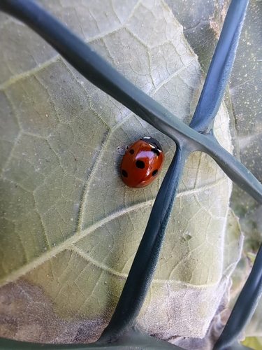
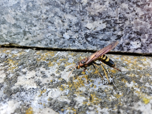
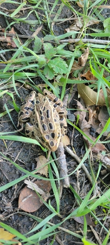
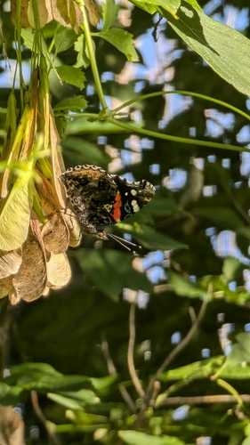
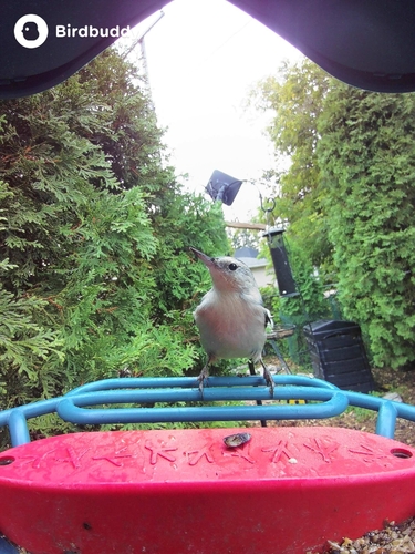
Research-grade observations from iNaturalist (within ~15 mi).
Events
Gallery
Geotagged photos within ~6 miles of Brandon, from Wikimedia Commons contributors.
 0 mi
 0.1 mi
 0.1 mi
 0.1 mi
 0.1 mi
 0.1 mi
 0.1 mi
 0.1 mi
 0.1 mi
 0.1 mi
 0.1 mi
 0.1 mi
 0.1 mi
 0.1 mi
 0.2 mi
 0.2 mi
 0.2 mi
 0.3 mi
 0.3 mi
 0.3 mi
 0.3 mi
 0.3 mi
 0.3 mi
 0.3 mi
Photos via Wikimedia Commons — see each image page for license & attribution.
Official Identifiers
StatCan — Statistics Canada
- SGC code
- 4607062
- Population (Wikidata)
- 51,313
- Wikidata
- Q61432
Standard Geographical Classification (SGC) via Wikidata P3012
Sources
- • Wikipedia
- • Wikimedia Commons
- • Wikidata
- • Open-Meteo Air Quality (CAMS)
- • USGS Earthquake Catalog (global feed)
- • GBIF (Global Biodiversity Information Facility)
- • iNaturalist
- • Open-Meteo / sunrise-sunset.org
- • Wikipedia Pageviews API
- • Open Library
- • NASA EONET
- • StatCan — Statistics Canada — Standard Geographical Classification (SGC) via Wikidata P3012