Browse / United States / California / Brookdale
Brookdale
CaliforniaCDP

Brookdale
Total population
1,378
Median home value
$881,700
Bachelor's+
Median income
$87,358
Demographic figures from US Census Bureau · ACS 5-year estimates. Overview below cites Wikipedia and may reference a different year.
- Heat Advisory · ModerateHeat Advisory issued October 7 at 8:42AM PDT until October 8 at 10:00PM PDT by NWS San Francisco CA
Source: NOAA National Weather Service.
City facts
Facts from Wikidata (CC0).
Overview
Brookdale is a census-designated place (CDP) in Santa Cruz County, California, United States. Brookdale sits at an elevation of 405 feet (123 m). It is located in the San Lorenzo Valley between Boulder Creek and Ben Lomond on Highway 9. The 2020 United States census reported Brookdale's population as 2,043.
Read more on WikipediaHistory & geography
History
The area was previously known as Clear Creek and then Brookville, and was the site of the Grover Lumber Mill by 1870. Logging and lumber was the major industry throughout the Santa Cruz Mountains at the time. James Harvey Logan, a Santa Cruz judge and creator of the loganberry, purchased the mill in 1900, created a creekside resort with cabins and camping, and established the Brookdale post office in 1902. Brookdale Lodge, a historic resort complex, is the main business in Brookdale. It was famous for decades, known especially for the stream running through its primary restaurant, the Brook Room (closed for renovation as of 2019). It currently has a reputation for being haunted by numerous ghosts. Started by Judge Logan, by 1922 it was owned by Dr. F. K. Camp, a Seventh-day Adventist physician, who envisioned a dining room spanning the creek and hired Horace Cotton of San Francisco to design it. In its day, the Brookdale Lodge was the second most popular resort in California and hosted the rich and famous ... Hollywood stars, prominent families, foreign diplomats, and even President Herbert Hoover visited the scenic lodge. Famous persons passing through Brookdale Lodge included: Mae West, Marilyn Monroe, Tyrone Power, Joan Crawford, Rita Hayworth, Hedy Lamarr, and President Herbert Hoover. Shirley Temple and Johnny Weissmuller had homes nearby. Herbert Hoover visited often, and enjoyed fishing off the dining room bridge. And during the San Francisco conference establishing the United Nations, world leaders and diplomats came to the lodge to relax. The lodge was also famous for its first rate entertainment, attracting the best big band and swing groups of the era. There are at least three swing era songs written about the Brookdale including, My Brookdale Hideaway, A…
Geography
According to the United States Census Bureau, the CDP covers an area of 3.8 square miles (10.0 km2), all land. This region experiences warm (but not hot) and dry summers, with no average monthly temperatures above 71.6 °F. According to the Köppen Climate Classification system, Brookdale has a warm-summer Mediterranean climate, abbreviated "Csb" on climate maps.
Excerpted from the corresponding Wikipedia article (CC BY-SA).
Demographics & economy
Race & ethnicity
Source: US Census Bureau — American Community Survey, 5-year estimates.
Geography
Coordinates & boundaries from the US Census TIGER/Line shapefiles.
Climate
Current forecast
Forecast for Brookdale, CA from NOAA NWS API.
Air quality
Industrial & pollution facilities
Natural hazard risk
Health (adults)
Age-adjusted prevalence estimates from CDC PLACES (latest release).
Walkability
Amenities nearby
Wildlife & biodiversity
Schools
Largest nearby schools
- Ocean Grove CharterOther · Boulder Creek · 3,023 students · 23.3:1 ratio
- Scotts Valley HighHigh · Scotts Valley · 690 students · 22.3:1 ratio
- San Lorenzo Valley HighHigh · Felton · 643 students · 22.2:1 ratio
- San Lorenzo Valley ElementaryElementary · Felton · 598 students · 23:1 ratio
- Mission Hill MiddleMiddle · Santa Cruz · 544 students · 20.1:1 ratio
- Vine Hill ElementaryElementary · Scotts Valley · 531 students · 24.1:1 ratio
- Scotts Valley MiddleMiddle · Scotts Valley · 481 students · 21.9:1 ratio
- California Connections Academy Monterey BayOther · Scotts Valley · 476 students · 43.3:1 ratio
Public K–12 schools within ~10 mi from Urban Institute Education Data Portal (NCES Common Core of Data, 2022).
Earthquake history
Photos
Sights & places nearby
Notable people from here

People born within ~10 km, from Wikidata (CC0). Click any name for their Wikipedia article.
Nearby places in California
- Ben Lomond2.3 mi away · pop. 6,858
- Lompico3.2 mi away
- Felton4.9 mi away · pop. 4,093
- Mount Hermon4.9 mi away
- Paradise Park7.8 mi away
- Pasatiempo8.5 mi away
- Pleasure Point12.7 mi away
- Rio del Mar16.1 mi away · pop. 9,201
- La Honda16.8 mi away
- Pescadero17.6 mi away
- Los Altos Hills18.1 mi away · pop. 8,377
- Portola Valley19.1 mi away
Geography & sun
Elevation, sunrise/sunset and daylight from Open-Meteo. Solar climatology from NASA POWER.
Nearby airports
Public attention
Pageview totals from the Wikimedia Pageviews API.
Books about Brookdale
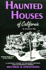
Search results from Open Library.
Recent natural events nearby
- Wildfire Timber, Monterey, CaliforniaWildfires · 2026-08-09 · 65 mi
- Wildfire Plaskett, Monterey, CaliforniaWildfires · 2026-08-26 · 92 mi
- Wildfire GANN, Calaveras, CaliforniaWildfires · 2026-08-03 · 101 mi
- Wildfire DOME, Mariposa, CaliforniaWildfires · 2026-09-15 · 141 mi
- Wildfire FELIZ, Mendocino, CaliforniaWildfires · 2026-08-01 · 142 mi
- Wildfire LUCAS, Lake, CaliforniaWildfires · 2026-09-10 · 155 mi
- Wildfire LUCAS, Lake, CaliforniaWildfires · 2026-09-10 · 155 mi
- Wildfire PLAINS, San Luis Obispo, CaliforniaWildfires · 2026-08-12 · 166 mi
Wildfires, storms and other events from NASA EONET (last 12 months, within 250 mi).
Ground air-quality sensors
Recently spotted species
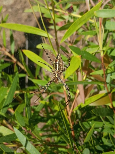
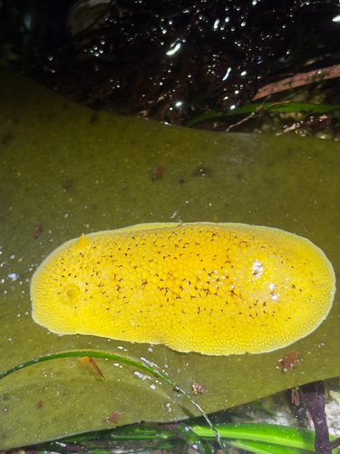
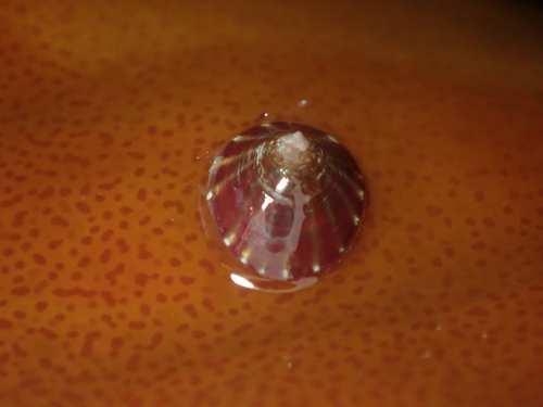
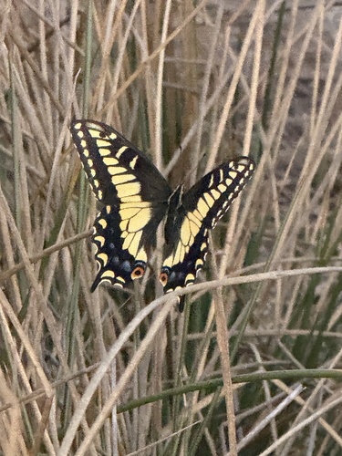
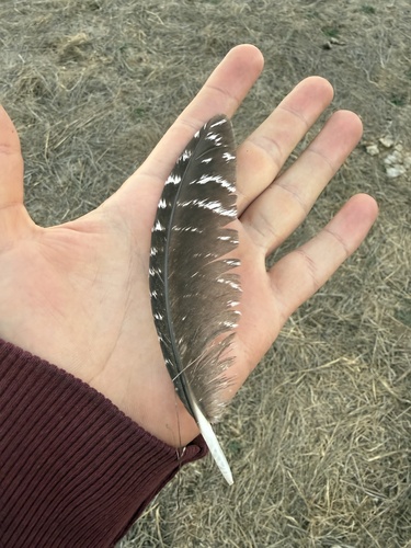
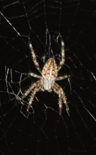
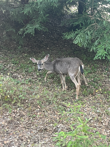
Research-grade observations from iNaturalist (within ~15 mi).
Nearest stream gauge
Live readings from USGS NWIS · measured 2026-10-07 14:30 UTC.
Events
Gallery
Sources
- • Wikipedia
- • US Census Bureau (ACS 5-year estimates)
- • NOAA National Weather Service
- • Wikidata
- • USGS NWIS (water data)
- • NCES via Urban Institute Education Data Portal
- • iNaturalist
- • CDC PLACES
- • Open-Meteo / sunrise-sunset.org
- • Wikipedia Pageviews API
- • Open Library
- • NASA EONET