Browse / Canada / Prince Edward Island / Brooklyn
Brooklyn
Prince Edward Islandvillage
Founded
1634
Demographic figures from Statistics Canada. Overview below cites Wikipedia and may reference a different year.
City facts
Sister cities
Facts from Wikidata (CC0).
Overview
Within Prince Edward Island, Canada, Brooklyn stands as a village. Up-to-date population figures for this locality are not available in the open datasets we monitor. Geographically it lies in the northern hemisphere at a temperate latitude (46.803°, -64.111°). Its latitude implies a climate characterised by four distinct seasons with warm summers and cold winters. Additional figures on demographics, climate, geography and points of interest appear in the sections that follow, all drawn from open public datasets.
Summary composed automatically from structured open data on this page. See our Terms for details.
History & geography
History
The history of European settlement in Brooklyn spans more than 350 years. The settlement began in the 17th century as the small Dutch-founded town of "Breuckelen" on the East River shore of Long Island, grew to be a sizeable city in the 19th century and was consolidated in 1898 with New York City (then confined to Manhattan and the Bronx), the remaining rural areas of Kings County, and the largely rural areas of Queens and Staten Island, to form the modern City of New York. The Dutch were the first Europeans to settle Long Island's western edge, which was then largely inhabited by the Lenape, an Algonquian-speaking American Indian tribe often referred to in European documents by a variation of the place name "Canarsie". Bands were associated with place names, but the colonists thought their names represented different tribes. The Breuckelen settlement was named after Breukelen in the Netherlands; it was part of New Netherland. The Dutch West India Company lost little time in chartering the six original parishes (listed here by their later English town names): *Gravesend: in 1645, settled under Dutch patent by English followers of Anabaptist Deborah Moody, named for 's-Gravenzande, Netherlands, or Gravesend, England; *Brooklyn Heights: chartered as Breuckelen in 1646, after the town now spelled Breukelen, Netherlands. Breuckelen was along Fulton Street (now Fulton Mall) between Hoyt Street and Smith Street (according to H. Stiles and P. Ross). Brooklyn Heights, or Clover Hill, is where the village of Brooklyn was founded in 1816; *Flatlands: chartered as Nieuw Amersfoort in 1647; *Flatbush: chartered as Midwout in 1652; *Nieuw Utrecht in 1652, named after the city of Utrecht, Netherlands; and *Bushwick: chartered as Boswijck in 1661. The colony's capital of New…
Geography
Brooklyn is in area, of which is land (73%), and is water (27%); the borough is the second-largest by land area among the New York City's boroughs. However, Kings County, coterminous with Brooklyn, is New York State's fourth-smallest county by land area and third-smallest by total area. with partial shielding from the Appalachian Mountains and moderating influences from the Atlantic Ocean. Brooklyn receives plentiful precipitation all year round, with nearly yearly. Snowfall is most common in February with around 20–21 centimeters or 8.3–8.5 inches. Temperatures range from to 28.4 °C. The area averages 234 days with at least some sunshine annually, and averages 57% of possible sunshine annually, accumulating 2,535 hours of sunshine per annum. Brooklyn lies in the USDA plant hardiness zone 7b.
Excerpted from the corresponding Wikipedia article (CC BY-SA).
Geography
Coordinates & boundaries from the US Census TIGER/Line shapefiles.
Climate
Air quality
Walkability
Amenities nearby
Wildlife & biodiversity
Earthquake history
Photos
Sights & places nearby
Notable people from here


People born within ~10 km, from Wikidata (CC0). Click any name for their Wikipedia article.
Nearby places in Prince Edward Island
- Burton10.8 mi away
- Derby12 mi away
- Harmony19.6 mi away
- Summerville76.1 mi away
- Souris93.6 mi away · pop. 1,232
- Vila dos Remédios3996.7 mi away · pop. 3,167
- Vila Serrânia4016 mi away
- Serra do Cavaco4016.6 mi away
- Serra do Rancho Grande4017.8 mi away
- Serra da Rodagem4017.8 mi away
- Sítio Serra Palma4018.4 mi away
- Serra do Jardim II4020.8 mi away
Geography & sun
Nearby airports
Public attention
Books about this place
Recent natural events nearby
Ground air-quality sensors
Recently spotted species
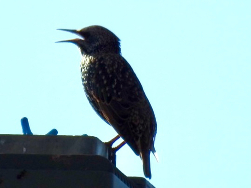
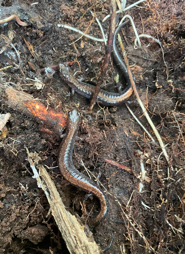
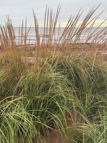
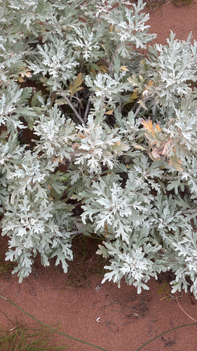
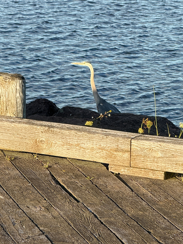
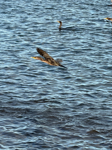
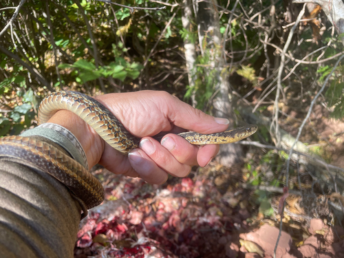
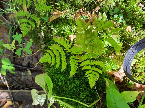
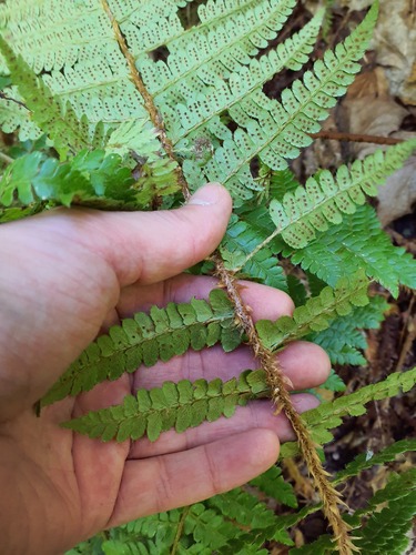
Research-grade observations from iNaturalist (within ~15 mi).
Events
Gallery
Sources
- • Wikipedia
- • Wikidata
- • iNaturalist