Browse / Canada / Manitoba / Brunkild
Brunkild
Manitobavillage
Demographic figures from Statistics Canada. Overview below cites Wikipedia and may reference a different year.
City facts
Overview
Brunkild is an unincorporated community located in the Rural Municipality of Macdonald in south-central Manitoba. It is approximately 48 km (30 mi) southwest of Winnipeg on Highway 3. Provincial Roads 305 and 332 also travel through the community, as well as the Central Manitoba Railway. A post office was established in Brunkild in 1903, the same year construction began on a railway from Winnipeg to the community.
Read more on WikipediaHistory & geography
History
The original survey of Township number 7 in Range 2 West in the province of Manitoba was conducted by J. Doupe in 1871 and completed by J.A. Snow in 1872, who stated that the area contained level prairie with many marshes. The survey of Township number 7 Range 1 West took slightly longer. It commenced in 1871 with surveyors M. Hart, J. Doupe, and J.A. Snow in 1872 and completed in 1886 by R.C. McPhillips. These men recorded the area as being open prairie with occasional low spots. In John Snow's own word written in December 1872 to the Honourable J.C. Aikins, Secretary of State for Canada: "I have the honour to report the completion of the Survey of Township No. 7 in Range 2 West of the Province of Manitoba in accordance with my contract. About two-thirds of this township is occupied by the great hay marsh, over which the waters of Riviere-aux Glets de Boin must pass in spring to reach the Scratching River which may be said to have risen in this township. I saw but few spots which were not solid prairie soil and experienced no difficulty in driving oxen with heavy loads in every direction over the marsh. It provides a fine clean growth of grass from two to five feet in height at full growth and the surface is so smooth that a mowing machine can work well upon it. The richness of no better soil can be imagined If a channel was cut for the water of the Riviere-aux Glets de Boin where it enters the marsh to the Scratching River, these lands would be sufficiently dry for all purposes. In the south-west angle of this township, there is one block about eight square miles of beautiful high rolling prairie with an excellent sandy loam soil. This township is entirely destitute of wood."
Excerpted from the corresponding Wikipedia article (CC BY-SA).
Geography
Coordinates & boundaries from the US Census TIGER/Line shapefiles.
Climate
Air quality
Walkability
Amenities nearby
Wildlife & biodiversity
Earthquake history
Photos
Sights & places nearby
Notable people from here
People born within ~10 km, from Wikidata (CC0). Click any name for their Wikipedia article.
Nearby places in Manitoba
- Sanford8.5 mi away · pop. 937
- Osborne10.1 mi away
- Homewood Hutterite Colony10.3 mi away
- Silver Winds Hutterite Colony10.8 mi away
- Rosenort11.1 mi away
- Blooming Prairie Hutterite Colony11.9 mi away
- Starlite Hutterite Colony15.2 mi away
- La Salle15.4 mi away
- Lowe Farm16.4 mi away
- Culross17.2 mi away
- Aubigny17.4 mi away
- Sainte Agathe17.6 mi away
Geography & sun
Elevation, sunrise/sunset and daylight from Open-Meteo. Solar climatology from NASA POWER.
Nearby airports
Public attention
Pageview totals from the Wikimedia Pageviews API.
Books about Brunkild
Search results from Open Library.
Recent natural events nearby
Ground air-quality sensors
Recently spotted species
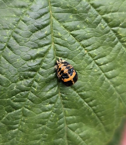
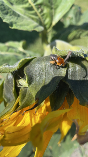
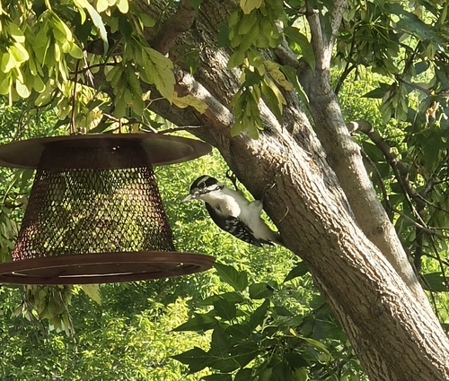
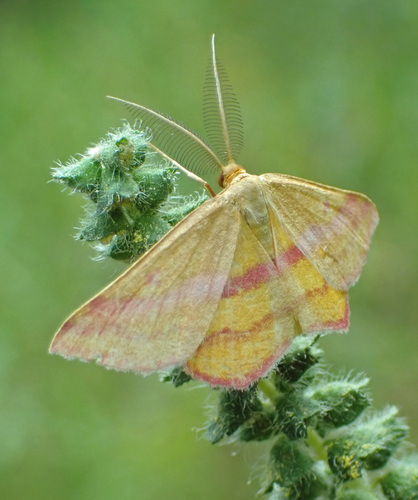
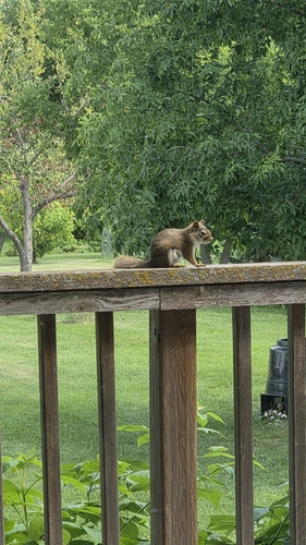
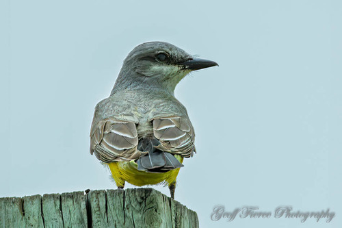
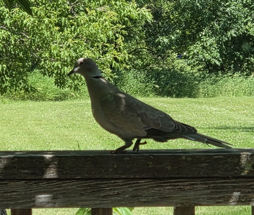
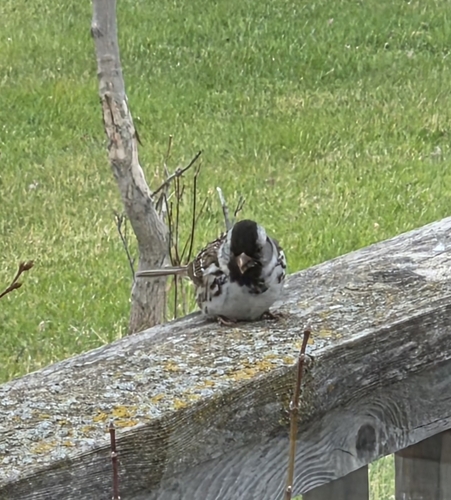
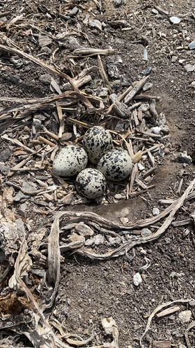
Research-grade observations from iNaturalist (within ~15 mi).
Events
Gallery
Sources
- • Wikipedia
- • Wikidata
- • iNaturalist
- • Open-Meteo / sunrise-sunset.org
- • Wikipedia Pageviews API
- • Open Library