Browse / Canada / New Brunswick / Burnt Hill
Burnt Hill
New Brunswickhamlet
Demographic figures from Statistics Canada. Overview below cites Wikipedia and may reference a different year.
City facts
Overview
Burnt Hill, a hamlet in New Brunswick, Canada, forms part of the country's settled landscape. No reliable population estimate is published for this entry in the open data we rely on. Burnt Hill maps to 45.171°, -67.342° — squarely within the temperate belt. Based on its temperate position, residents likely encounter four distinct seasons with warm summers and cold winters. Solar-resource estimates put the area at about 1,284 kWh/m² of solar irradiance per year with sunshine for roughly 50% of daylight hours. Read on for charts and tables covering demographics, climate, hazards, schools, wildlife and other open-data indicators for Burnt Hill.
Summary composed automatically from structured open data on this page. See our Terms for details.
History & geography
Geography
Coordinates & boundaries from the US Census TIGER/Line shapefiles.
Climate
Air quality
Walkability
Amenities nearby
Wildlife & biodiversity
Most-observed species
- American CrowCorvus brachyrhynchos C.L.Brehm, 1822 · Aves1,275
- Black-capped ChickadeePoecile atricapillus (Linnaeus, 1766) · Aves1,131
- American GoldfinchSpinus tristis (Linnaeus, 1758) · Aves921
- Song SparrowMelospiza melodia (A.Wilson, 1810) · Aves911
- American RobinTurdus migratorius Linnaeus, 1766 · Aves816
- Blue JayCyanocitta cristata (Linnaeus, 1758) · Aves777
- Canada Goose (canadensis Group)Branta canadensis (Linnaeus, 1758) · Aves664
- Common YellowthroatGeothlypis trichas (Linnaeus, 1766) · Aves657
Citizen-science & research observations from the Global Biodiversity Information Facility (GBIF).
Earthquake history
Most recent
- M 2.6 — 2022-09-014 km SE of Centerville, Maine
- M 3 — 2022-08-173 km SE of Centerville, Maine
- M 2.6 — 2022-08-164.7 km WNW of Jonesboro, Maine
- M 2.8 — 2022-08-114 km E of Centerville, Maine
- M 2.8 — 2022-08-11Maine
- M 2.6 — 2022-01-118 km SE of Saint Andrews, Canada
Events from the USGS Earthquake Catalog (global) (FDSN Event Web Service).
Photos
Sights & places nearby
Notable people from here


People born within ~10 km, from Wikidata (CC0). Click any name for their Wikipedia article.
Nearby places in New Brunswick
Geography & sun
Elevation, sunrise/sunset and daylight from Open-Meteo. Solar climatology from NASA POWER.
Nearby airports
Public attention
Pageview totals from the Wikimedia Pageviews API.
Books about Burnt Hill
Search results from Open Library.
Recent natural events nearby
Ground air-quality sensors
Recently spotted species
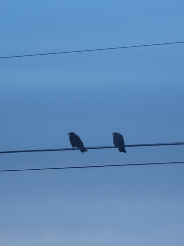
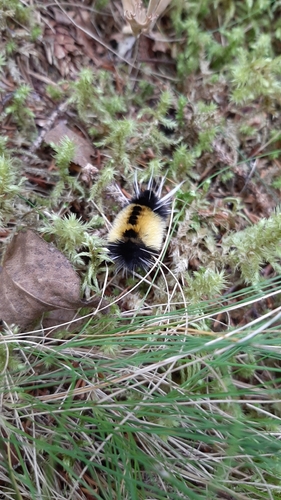
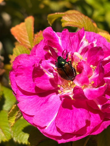
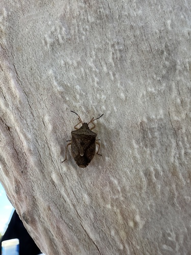
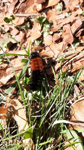
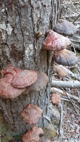
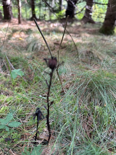
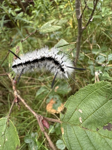
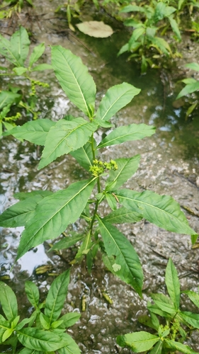
Research-grade observations from iNaturalist (within ~15 mi).
Events
Gallery
Sources
- • Wikidata
- • USGS Earthquake Catalog (global feed)
- • GBIF (Global Biodiversity Information Facility)
- • iNaturalist
- • Open-Meteo / sunrise-sunset.org
- • Wikipedia Pageviews API
- • Open Library