Browse / Canada / Prince Edward Island / Cap-Egmont
Cap-Egmont
Prince Edward Islandvillage
Air quality index
Demographic figures from Statistics Canada. Overview below cites Wikipedia and may reference a different year.
City facts
Overview
Within Prince Edward Island, Canada, Cap-Egmont stands as a village. The settlement sits at 46.409°, -64.100°, a temperate location in the northern hemisphere. No reliable population estimate is published for this entry in the open data we rely on. The location receives about 1,243 kWh/m² of solar irradiance per year and sunshine for roughly 49% of daylight hours. Based on its temperate position, residents likely encounter four distinct seasons with warm summers and cold winters. The remainder of this page draws on open public data to describe the area's demographics, climate, environment and nearby amenities.
Summary composed automatically from structured open data on this page. See our Terms for details.
History & geography
Geography
Coordinates & boundaries from the US Census TIGER/Line shapefiles.
Climate
Air quality
Current readings from Open-Meteo Air Quality API (Copernicus CAMS European reanalysis).
Walkability
Amenities nearby
Wildlife & biodiversity
Most-observed species
- Song SparrowMelospiza melodia (A.Wilson, 1810) · Aves167
- American CrowCorvus brachyrhynchos C.L.Brehm, 1822 · Aves158
- American RobinTurdus migratorius Linnaeus, 1766 · Aves124
- Black-capped ChickadeePoecile atricapillus (Linnaeus, 1766) · Aves103
- Blue JayCyanocitta cristata (Linnaeus, 1758) · Aves101
- Common YellowthroatGeothlypis trichas (Linnaeus, 1766) · Aves96
- American GoldfinchSpinus tristis (Linnaeus, 1758) · Aves93
- Common GrackleQuiscalus quiscula (Linnaeus, 1758) · Aves86
Citizen-science & research observations from the Global Biodiversity Information Facility (GBIF).
Earthquake history
Events from the USGS Earthquake Catalog (global) (FDSN Event Web Service).
Photos
Sights & places nearby
Notable people from here

People born within ~10 km, from Wikidata (CC0). Click any name for their Wikipedia article.
Nearby places in Prince Edward Island
- Harmony8.3 mi away
- Derby16.5 mi away
- Burton27.3 mi away
- Summerville65.5 mi away
- Souris88.2 mi away · pop. 1,232
- Vila dos Remédios3975 mi away · pop. 3,167
- Vila Serrânia3991.6 mi away
- Serra do Cavaco3992.3 mi away
- Serra do Rancho Grande3993.5 mi away
- Serra da Rodagem3993.6 mi away
- Sítio Serra Palma3994 mi away
- Serra do Jardim II3996.6 mi away
Geography & sun
Elevation, sunrise/sunset and daylight from Open-Meteo. Solar climatology from NASA POWER.
Nearby airports
Public attention
Books about this place
Recent natural events nearby
Ground air-quality sensors
Recently spotted species
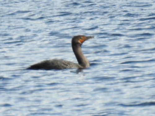
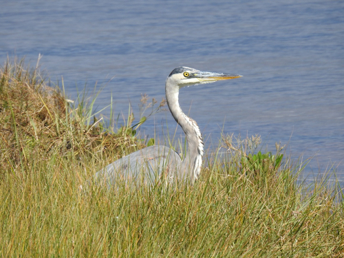
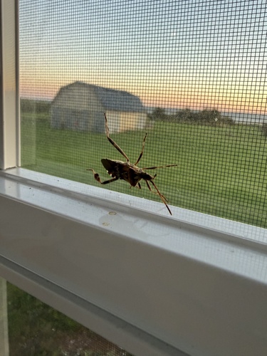
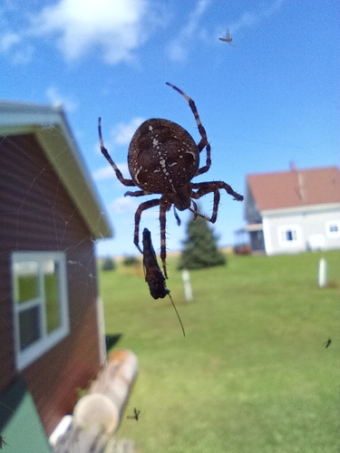
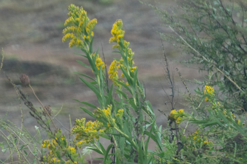
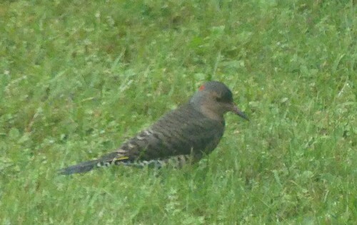
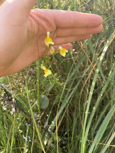
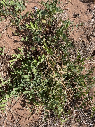
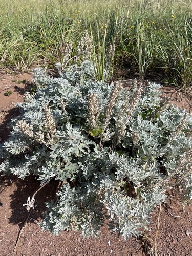
Research-grade observations from iNaturalist (within ~15 mi).
Events
Gallery
Sources
- • Wikidata
- • Open-Meteo Air Quality (CAMS)
- • USGS Earthquake Catalog (global feed)
- • GBIF (Global Biodiversity Information Facility)
- • iNaturalist
- • Open-Elevation
- • Open-Meteo / sunrise-sunset.org