Browse / Canada / Alberta / Carstairs
Carstairs
Albertatown

Carstairs
Total population
4,077
Demographic figures from Statistics Canada. Overview below cites Wikipedia and may reference a different year.
City facts
Overview
Carstairs is a town in central Alberta, Canada. It is located on Highway 2A, 48 kilometres (30 mi) north of Calgary, the nearest major city, and 241 kilometres (150 mi) south of the provincial capital, Edmonton. The closest neighbouring communities are the towns of Didsbury and Crossfield. Carstairs is located entirely within the rural Mountain View County.
Read more on WikipediaHistory & geography
History
The origins of the Town of Carstairs dates back centuries to a network of trails collectively known as the Ancient Trail (also referred to as The Old North Trail and the Wolf Track). This important transportation corridor passed through the Carstairs area. Several prominent rock formations along river and creek beds were found in the district, and these were known resting and stopping sites for First Nations people as they moved up-and-down this corridor. As the fur trade developed and settlement grew, the newcomers to the region adopted the same network of trails that had been used for centuries. In 1883, one of those newcomers, Sam Scarlett, set up a Stopping House at one of the prominent rock formations along the Rosebud River. "Scarlett's" became an important and popular stop along the Calgary and Edmonton Trail - frequented by freighters, the NWMP, military and the various stage coach lines. When the Calgary and Edmonton Railway arrived in 1890, the surveyors made an allotment for a siding, station house, and townsite to be built in relative proximity to Scarlett's Stopping House. However, to avoid crossing the Rosebud River at that point, the rail line was laid approximately 4 km west of Scarlett's. Named 'Carstairs' the new townsite's development started off slowly, but by the turn of the 20th century, the area began a steady growth pattern that allowed it to be officially recognized as Carstairs, NWT on May 15, 1903. The name changed to Carstairs, Alta in 1905 when Alberta received official Provincial status. On July 1, 2023, a large EF4 tornado caused severe damage just north of the town.
Excerpted from the corresponding Wikipedia article (CC BY-SA).
Geography
Coordinates & boundaries from the US Census TIGER/Line shapefiles.
Climate
Air quality
Walkability
Amenities nearby
Wildlife & biodiversity
Most-observed species
- Black-billed MagpiePica hudsonia (Sabine, 1823) · Aves517
- Canada Goose (canadensis Group)Branta canadensis (Linnaeus, 1758) · Aves391
- Red-winged BlackbirdAgelaius phoeniceus (Linnaeus, 1766) · Aves362
- MallardAnas platyrhynchos Linnaeus, 1758 · Aves356
- American RobinTurdus migratorius Linnaeus, 1766 · Aves326
- House SparrowPasser domesticus (Linnaeus, 1758) · Aves316
- Common RavenCorvus corax Linnaeus, 1758 · Aves312
- European StarlingSturnus vulgaris Linnaeus, 1758 · Aves307
Citizen-science & research observations from the Global Biodiversity Information Facility (GBIF).
Earthquake history
Most recent
- M 3.8 — 2019-03-049 km NW of Red Deer, Canada
Events from the USGS Earthquake Catalog (global) (FDSN Event Web Service).
Photos
Sights & places nearby
Notable people from here
Nearby places in Alberta
- Madden12 mi away
- Neudorf Hutterite Colony14.6 mi away
- Fairview Hutterite Colony16.2 mi away
- Beiseker Hutterite Colony21.4 mi away
- May City Hutterite Colony22.5 mi away
- Valley View Hutterite Colony23.2 mi away
- CrossIron25.2 mi away
- Torrington26.5 mi away · pop. 239
- Kathyrn29.2 mi away
- Keoma30.7 mi away
- Delacour31.5 mi away
- Cartier Creek Hamlet34.5 mi away
Geography & sun
Elevation, sunrise/sunset and daylight from Open-Meteo. Solar climatology from NASA POWER.
Nearby airports
Public attention
Pageview totals from the Wikimedia Pageviews API.
Books about Carstairs

Search results from Open Library.
Recent natural events nearby
- Wildfire Skillet, Lincoln, MontanaWildfires · 2026-07-29 · 215 mi
- Wildfire Parker Lake, Boundary, IdahoWildfires · 2026-08-23 · 217 mi
- Wildfire Silver, Boundary, IdahoWildfires · 2026-08-23 · 232 mi
- Wildfire Deer Creek, Lincoln, MontanaWildfires · 2026-08-20 · 239 mi
Wildfires, storms and other events from NASA EONET (last 12 months, within 250 mi).
Ground air-quality sensors
Recently spotted species
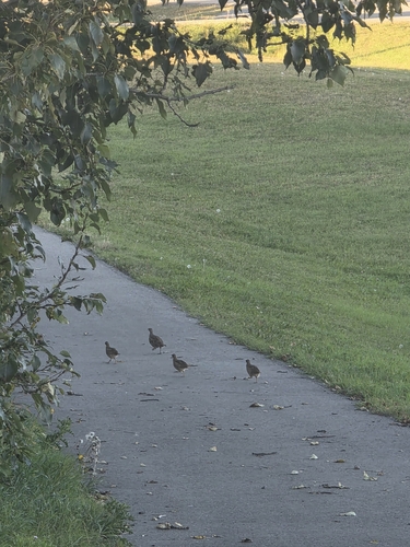
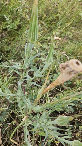
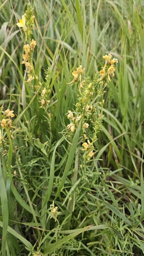
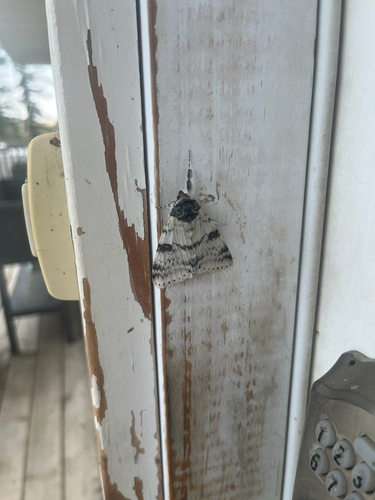
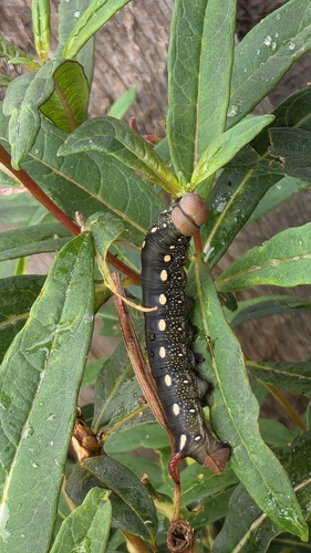
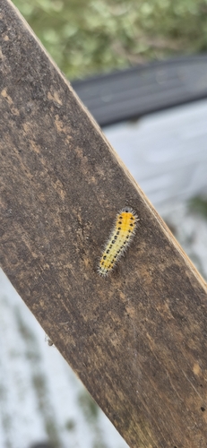
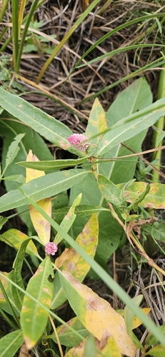

Research-grade observations from iNaturalist (within ~15 mi).
Events
Gallery
Official Identifiers
StatCan — Statistics Canada
- SGC code
- 4806029
- Population (Wikidata)
- 4,077
- Wikidata
- Q1886298
Standard Geographical Classification (SGC) via Wikidata P3012
Sources
- • Wikipedia
- • USGS Earthquake Catalog (global feed)
- • GBIF (Global Biodiversity Information Facility)
- • iNaturalist
- • Open-Meteo / sunrise-sunset.org
- • Wikipedia Pageviews API
- • Open Library
- • NASA EONET
- • StatCan — Statistics Canada — Standard Geographical Classification (SGC) via Wikidata P3012