Browse / Canada / Alberta / Champion
Champion
Albertavillage

Champion
Total population
317
Founded
1911
Air quality index
Demographic figures from Statistics Canada. Overview below cites Wikipedia and may reference a different year.
City facts
Facts from Wikidata (CC0).
Overview
Champion is a village in southern Alberta, Canada within Vulcan County. It is located on Highway 23, approximately 74 kilometres (46 mi) north of Lethbridge and 147 kilometres (91 mi) south of Calgary.
Read more on WikipediaHistory & geography
History
Homesteaders began arriving in the Champion area in 1904 and 1905, mainly from the US, Eastern Canada, and Britain. The vast prairie grasslands, cut through by the Little Bow River, provided ideal country for farming and ranching. One of these settlers was Martin G. Clever, who arrived in 1905. He homesteaded on the quarter section of land (160 acres) where the town of Champion is currently located. The birth of the town was the product of the rapid settlement of the farming and ranching land in the area, and it was also fuelled by the discovery of coal. Homesteader Henry Therriualt opened the first coal mine in the area in 1906, and farmers travelled from neighbouring towns (including Nanton and Stavely) to purchase coal from the Therriault mine. Their journey took them through the Clever homestead to reach the mine, and soon Martin Clever realized the business opportunity that presented itself. Soon, a country store and a mail route were established. When the storeowner (George Mark) applied to have a government post office located, the settlement required a name, and in honour of Martin Clever, the community was named Cleverville. Several other businesses soon sprung up, thanks to Martin Clever's offer of the free use of his land: Cleverville was soon home to three general stores, a millinery and linen shop, drug store, butcher shop, blacksmith shop, livery stable, restaurant, two real estate offices, lumber yard, Bank of Hamilton, and doctor's office. In 1910 the Canadian Pacific Railway (CPR) reached the area, although it became apparent that the rails themselves would not run directly past Cleverville. As a result, the townspeople decided to move, using horses and skids and wagons, all of the buildings of the town to a new location closer to the railway. This…
Excerpted from the corresponding Wikipedia article (CC BY-SA).
Geography
Coordinates & boundaries from the US Census TIGER/Line shapefiles.
Climate
Air quality
Current readings from Open-Meteo Air Quality API (Copernicus CAMS European reanalysis).
Walkability
Amenities nearby
Wildlife & biodiversity
Most-observed species
- MallardAnas platyrhynchos Linnaeus, 1758 · Aves229
- Canada Goose (canadensis Group)Branta canadensis (Linnaeus, 1758) · Aves195
- American CootFulica americana Gmelin, 1789 · Aves185
- Black-billed MagpiePica hudsonia (Sabine, 1823) · Aves184
- KilldeerCharadrius vociferus Linnaeus, 1758 · Aves171
- Northern ShovelerSpatula clypeata (Linnaeus, 1758) · Aves160
- Mourning DoveZenaida macroura (Linnaeus, 1758) · Aves143
- Northern PintailAnas acuta Linnaeus, 1758 · Aves142
Citizen-science & research observations from the Global Biodiversity Information Facility (GBIF).
Earthquake history
Most recent
- M 2.9 — 2014-09-1213 km ENE of Picture Butte, Canada
Events from the USGS Earthquake Catalog (global) (FDSN Event Web Service).
Photos
Sights & places nearby
Notable people from here
People born within ~10 km, from Wikidata (CC0). Click any name for their Wikipedia article.
Nearby places in Alberta
- Sky Light Hutterite Colony9.2 mi away
- Little Bow Hutterite Colony9.9 mi away
- Summerland Hutterite Colony11.7 mi away
- Clear Lake Hutterite Colony11.8 mi away
- Shadow Ranch Hutterite Colony12.1 mi away
- Carmangay Hutterite Colony12.6 mi away
- Wild Rose Hutterite Colony15.3 mi away
- Mialta Hutterite Colony16.1 mi away
- Keho Lake Hutterite Colony18.6 mi away
- Armada Hutterite Colony20.1 mi away
- Albion Ridge Hutterite Colony20.9 mi away
- Brant Hutterite Colony22.6 mi away
Geography & sun
Elevation, sunrise/sunset and daylight from Open-Meteo. Solar climatology from NASA POWER.
Nearby airports
Public attention
Pageview totals from the Wikimedia Pageviews API.
Books about Champion


Search results from Open Library.
Recent natural events nearby
- Wildfire Skillet, Lincoln, MontanaWildfires · 2026-07-29 · 144 mi
- Wildfire Deer Creek, Lincoln, MontanaWildfires · 2026-08-20 · 168 mi
- Wildfire Parker Lake, Boundary, IdahoWildfires · 2026-08-23 · 182 mi
- Wildfire Silver, Boundary, IdahoWildfires · 2026-08-23 · 193 mi
- Wildfire Camp Creek, Powell, MontanaWildfires · 2026-08-21 · 195 mi
- Wildfire Middle Coulee, Chouteau, MontanaWildfires · 2026-08-02 · 199 mi
- Wildfire Dudley, Shoshone, IdahoWildfires · 2026-08-26 · 225 mi
Wildfires, storms and other events from NASA EONET (last 12 months, within 250 mi).
Ground air-quality sensors
Recently spotted species
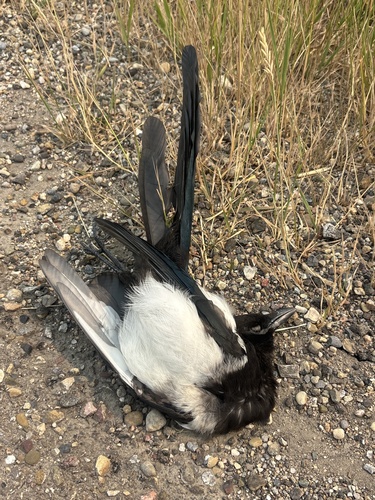
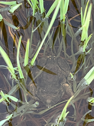
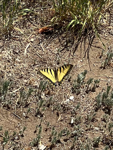
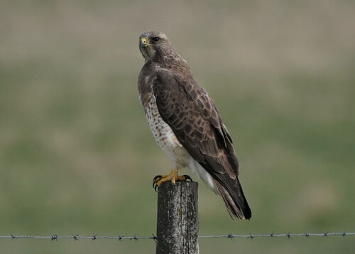
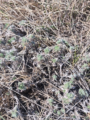
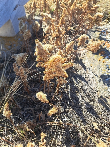
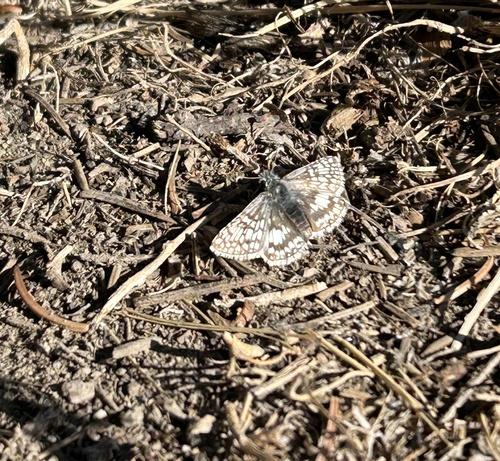
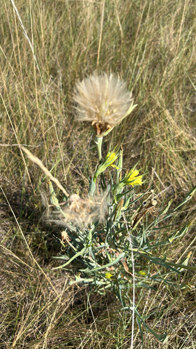
Research-grade observations from iNaturalist (within ~15 mi).
Events
Gallery
Official Identifiers
StatCan — Statistics Canada
- SGC code
- 4805004
- Population (Wikidata)
- 317
- Wikidata
- Q5069954
Standard Geographical Classification (SGC) via Wikidata P3012
Sources
- • Wikipedia
- • Wikidata
- • Open-Meteo Air Quality (CAMS)
- • USGS Earthquake Catalog (global feed)
- • GBIF (Global Biodiversity Information Facility)
- • iNaturalist
- • Open-Meteo / sunrise-sunset.org
- • Wikipedia Pageviews API
- • Open Library
- • NASA EONET
- • StatCan — Statistics Canada — Standard Geographical Classification (SGC) via Wikidata P3012