Browse / Canada / Alberta / Cherhill
Cherhill
Albertahamlet

Cherhill
Air quality index
Demographic figures from Statistics Canada. Overview below cites Wikipedia and may reference a different year.
City facts
Overview
Cherhill is a hamlet in Alberta, Canada within Lac Ste. Anne County. It is located along Highway 43, approximately 35 kilometres (22 mi) east of Mayerthorpe and 82 kilometres (51 mi) northwest of Edmonton.
Read more on WikipediaHistory & geography
Geography
Coordinates & boundaries from the US Census TIGER/Line shapefiles.
Climate
Air quality
Current readings from Open-Meteo Air Quality API (Copernicus CAMS European reanalysis).
Walkability
Amenities nearby
Wildlife & biodiversity
Most-observed species
- Black-capped ChickadeePoecile atricapillus (Linnaeus, 1766) · Aves239
- Red-winged BlackbirdAgelaius phoeniceus (Linnaeus, 1766) · Aves210
- Canada Goose (canadensis Group)Branta canadensis (Linnaeus, 1758) · Aves195
- American RobinTurdus migratorius Linnaeus, 1766 · Aves191
- White-throated SparrowZonotrichia albicollis (J.F.Gmelin, 1789) · Aves185
- Blue JayCyanocitta cristata (Linnaeus, 1758) · Aves171
- MallardAnas platyrhynchos Linnaeus, 1758 · Aves159
- American CrowCorvus brachyrhynchos C.L.Brehm, 1822 · Aves143
Citizen-science & research observations from the Global Biodiversity Information Facility (GBIF).
Earthquake history
Most recent
- M 4.3 — 2026-04-0110 km N of Bon Accord, Canada
Events from the USGS Earthquake Catalog (global) (FDSN Event Web Service).
Photos
Sights & places nearby
Notable people from here
Nearby places in Alberta
- Rochfort Bridge Hutterite Colony13.7 mi away
- Fallis17.1 mi away
- Old Entwistle19.7 mi away
- Entwistle20.2 mi away
- Greencourt26.2 mi away
- Highridge26.7 mi away
- Bloomsbury28.2 mi away
- Freedom29.1 mi away
- Tomahawk29.4 mi away
- Keephills29.5 mi away
- Busby33.4 mi away · pop. 140
- Morinville Hutterite Colony34.1 mi away
Geography & sun
Elevation, sunrise/sunset and daylight from Open-Meteo. Solar climatology from NASA POWER.
Nearby airports
Public attention
Pageview totals from the Wikimedia Pageviews API.
Books about this place
Recent natural events nearby
Ground air-quality sensors
Recently spotted species
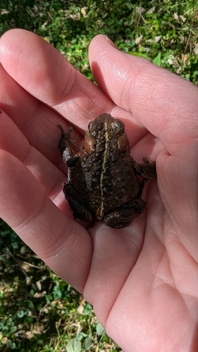
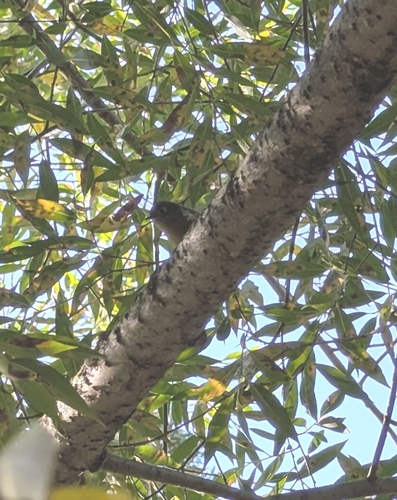
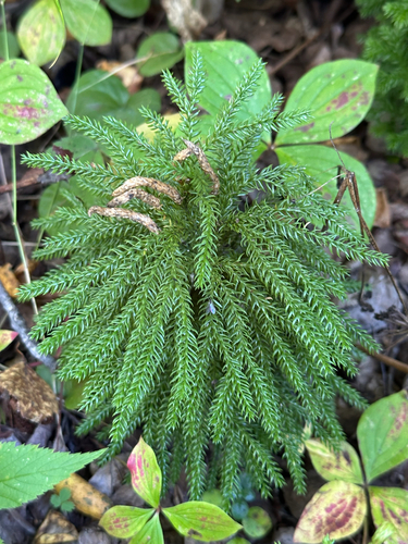
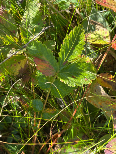
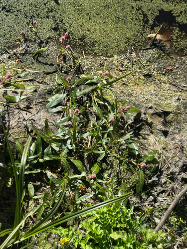
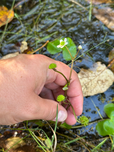
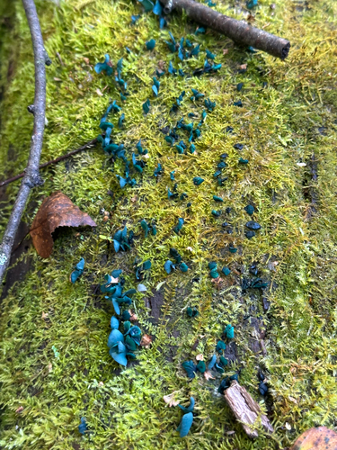
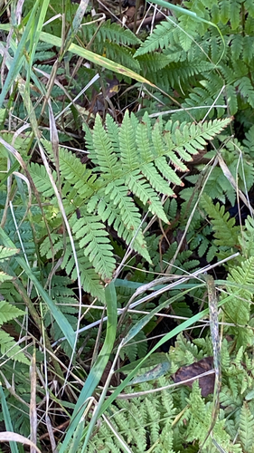
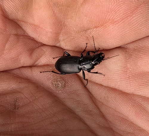
Research-grade observations from iNaturalist (within ~15 mi).
Events
Gallery
Sources
- • Wikipedia
- • Wikidata
- • Open-Meteo Air Quality (CAMS)
- • USGS Earthquake Catalog (global feed)
- • GBIF (Global Biodiversity Information Facility)
- • iNaturalist
- • Open-Meteo / sunrise-sunset.org
- • Wikipedia Pageviews API