Browse / United States / California / Chico
Chico
Californiacity

Chico
Total population
102,907
Median home value
$467,900
Bachelor's+
Median income
$65,422
Founded
1860
Air quality index
Demographic figures from US Census Bureau · ACS 5-year estimates. Overview below cites Wikipedia and may reference a different year.
City facts
Sister cities
Facts from Wikidata (CC0).
Overview
Chico is the most populous city in Butte County, California, United States. Located in the Sacramento Valley region of Northern California, the city had a population of 101,475 in the 2020 census, an increase from 86,187 in the 2010 census. Chico is the cultural and economic center of the northern Sacramento Valley, as well as the most populous city in California north of the capital city of Sacramento. The city is known as a college town, as the home of California State University, Chico, and for Bidwell Park, one of the largest urban parks in the world.
Read more on WikipediaHistory & geography
History
The first known inhabitants of the area now known as Chico—a Spanish word meaning "little", "small", or "boy" — were the Mechoopda Maidu Native Americans. Within the boundaries of modern day Chico, there existed a Maidu village, whose name was recorded as Bah-hahp'-ke, meaning "straight tree". The City of Chico was founded in 1860 by John Bidwell, a member of one of the first wagon trains to reach California in 1843. During the American Civil War, Camp Bidwell (named for John Bidwell, by then a brigadier general of the California Militia), was established a mile outside Chico, by Lt. Col. A. E. Hooker with a company of cavalry and two of infantry, on August 26, 1863. By early 1865, it was being referred to as Camp Chico when a post called Camp Bidwell was established in northeast California, later to be Fort Bidwell. The city was incorporated on January 8, 1872. Chico was home to a significant Chinese American community when it was first incorporated, but arsonists burned Chico's Chinatown in February 1886, driving Chinese Americans out of town. Historian W.H. "Old Hutch" Hutchinson identified five events as the most seminal in Chico history. They included the arrival of John Bidwell in 1850, the arrival of the California and Oregon Railroad in 1870, the establishment in 1887 of the Northern Branch of the State Normal School, which later became California State University, Chico (Chico State), the purchase of the Sierra Lumber Company by the Diamond Match Company in 1900, and the development of the Army Air Base, which is now the Chico Municipal Airport. Other events include the construction and relocation of Route 99E through town in the early 1960s, the founding of Sierra Nevada Brewing Company in 1979—what would become one of the top breweries in the nation—and…
Geography
Chico is at the Sacramento Valley's northeast edge, one of the richest agricultural areas in the world. The Sierra Nevada mountains lie to the east and south, with Chico's city limits venturing several miles into the foothills. To the west, the Sacramento River lies from the city. Chico sits on the Sacramento Valley floor close to the foothills of the Cascade Range to the north and the Sierra Nevada range to the east and south. Big Chico Creek is the demarcation line between the ranges. The city's terrain is generally flat, with increasingly hilly terrain beginning at the eastern city limits. According to the United States Census Bureau, the city has a total area of , of which is land and 0.50% is water. The city is bisected by Bidwell Park, which runs from the flat city center deep into the foothills. The city is also traversed by two creeks and a flood channel, which feeds the Sacramento River. They are named Big Chico Creek, Little Chico Creek, and Lindo Channel (also known as Sandy Gulch, locally). The city has been designated a Tree City USA for 31 years by the National Arbor Day Foundation. Chico is made up of many districts and neighborhoods, including Downtown Chico, the South Campus neighborhood, and Barber. Chico and the Sacramento Valley have a Mediterranean climate (Köppen Csa), with hot, dry summers and cool, wet winters. Temperatures can rise well above in the summer. Chico is one of the top metropolitan areas in the nation for number of clear days. Winters are cool and wet, with the greatest rainfall occurring in January and February. July is usually the hottest month, with an average high temperature of and an average low temperature of . January is the coolest month, with an average high temperature of and an average low temperature of .…
Excerpted from the corresponding Wikipedia article (CC BY-SA).
Demographics & economy
Race & ethnicity
Source: US Census Bureau — American Community Survey, 5-year estimates.
Geography
Coordinates & boundaries from the US Census TIGER/Line shapefiles.
Climate
Current forecast
Forecast for Chico, CA from NOAA NWS API.
Air quality
Current readings from Open-Meteo Air Quality API (Copernicus CAMS European reanalysis).
Industrial & pollution facilities
Natural hazard risk
Health (adults)
Age-adjusted prevalence estimates from CDC PLACES (latest release).
Walkability
Amenities nearby
Wildlife & biodiversity
Most-observed species
- California/Woodhouse's Scrub-JayAphelocoma californica (Vigors, 1839) · Aves7,326
- Oak TitmouseBaeolophus inornatus (Gambel, 1845) · Aves4,855
- Lesser GoldfinchSpinus psaltria (Say, 1822) · Aves4,721
- Anna's HummingbirdCalypte anna (R.Lesson, 1829) · Aves4,643
- Turkey VultureCathartes aura (Linnaeus, 1758) · Aves4,636
- House FinchHaemorhous mexicanus (P.L.Statius Müller, 1776) · Aves4,583
- European StarlingSturnus vulgaris Linnaeus, 1758 · Aves4,153
- Nuttall's WoodpeckerDryobates nuttallii (Gambel, 1843) · Aves4,106
Citizen-science & research observations from the Global Biodiversity Information Facility (GBIF).
Schools
Largest nearby schools
- Chico HighHigh · Chico · 1,905 students · 22.2:1 ratio
- Pleasant Valley HighHigh · Chico · 1,840 students · 21.6:1 ratio
- Bidwell Junior HighMiddle · Chico · 990 students · 24.1:1 ratio
- Chico Junior HighMiddle · Chico · 928 students · 24.4:1 ratio
- CORE Butte CharterOther · Chico · 848 students · 16.6:1 ratio
- Marsh (Harry M.) Junior HighMiddle · Chico · 732 students · 19.8:1 ratio
- Shasta ElementaryElementary · Chico · 646 students · 22.3:1 ratio
- Marigold ElementaryElementary · Chico · 568 students · 27:1 ratio
Public K–12 schools within ~10 mi from Urban Institute Education Data Portal (NCES Common Core of Data, 2022).
Earthquake history
Most recent
- M 2.65 — 2026-09-1922 km ENE of Red Bluff, CA
- M 2.72 — 2026-09-025 km W of Hamilton City, CA
- M 2.54 — 2026-08-119 km E of Rancho Tehama Reserve, CA
- M 2.7 — 2026-08-064 km SSE of Anderson, CA
- M 2.54 — 2026-08-0415 km S of Hamilton City, CA
- M 2.58 — 2026-07-0616 km NNE of Red Bluff, CA
Events from the USGS Earthquake Catalog (global) (FDSN Event Web Service).
Photos
Sights & places nearby
Notable people from here


People born within ~10 km, from Wikidata (CC0). Click any name for their Wikipedia article.
Geography & sun
Elevation, sunrise/sunset and daylight from Open-Meteo. Solar climatology from NASA POWER.
Nearby airports
Public attention
Books about Chico

Search results from Open Library.
Recent natural events nearby
- Wildfire LUCAS, Lake, CaliforniaWildfires · 2026-09-10 · 73 mi
- Wildfire LUCAS, Lake, CaliforniaWildfires · 2026-09-10 · 73 mi
- Wildfire FELIZ, Mendocino, CaliforniaWildfires · 2026-08-01 · 89 mi
- Wildfire Bug, Lassen, CaliforniaWildfires · 2026-08-08 · 95 mi
- Wildfire FLORISTON, Nevada, CaliforniaWildfires · 2026-09-16 · 99 mi
- Wildfire Hawk, Washoe, NevadaWildfires · 2026-08-22 · 100 mi
- Wildfire Hawk, Washoe, NevadaWildfires · 2026-08-22 · 100 mi
- Wildfire Fred Mt, Washoe, NevadaWildfires · 2026-08-09 · 105 mi
Wildfires, storms and other events from NASA EONET (last 12 months, within 250 mi).
Ground air-quality sensors
Recently spotted species
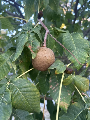
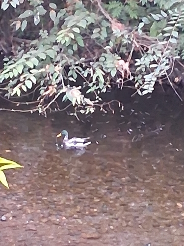
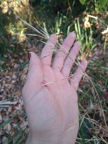
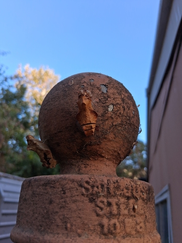
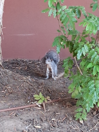
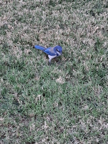
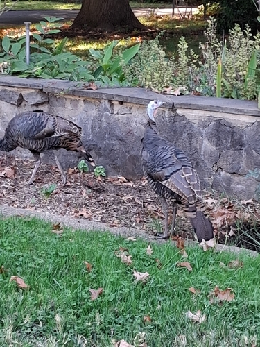
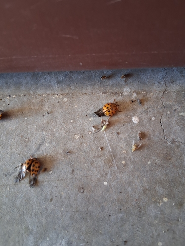
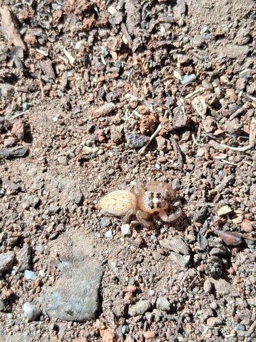
Research-grade observations from iNaturalist (within ~15 mi).
Nearest stream gauge
Events
Gallery
Geotagged photos within ~6 miles of Chico, from Wikimedia Commons contributors.
_(2023).jpg) 0.1 mi
0.1 mi 0.1 mi
 0.4 mi
 0.7 mi
 0.8 mi
 0.8 mi
 0.8 mi
 0.8 mi
 1 mi
1 mi 1 mi
1 mi 1 mi
1 mi 1 mi
1 mi 1 mi
1 mi.jpg) 1 mi
1 mi 1.1 mi
 1.1 mi
-L1000467.jpg) 1.2 mi
1.2 mi 1.4 mi
.jpg) 1.4 mi
1.4 mi.jpg) 1.4 mi
1.4 mi 1.4 mi
 1.4 mi
 1.5 mi
 1.6 mi
Photos via Wikimedia Commons — see each image page for license & attribution.
Sources
- • Wikipedia
- • US Census Bureau (ACS 5-year estimates)
- • NOAA National Weather Service
- • Wikimedia Commons
- • Wikidata
- • Open-Meteo Air Quality (CAMS)
- • USGS Earthquake Catalog (global feed)
- • NCES via Urban Institute Education Data Portal
- • GBIF (Global Biodiversity Information Facility)
- • iNaturalist
- • CDC PLACES
- • Open-Meteo / sunrise-sunset.org
- • Open Library
- • NASA EONET