Browse / United States / California / Chinese Camp
Chinese Camp
CaliforniaCDP

Chinese Camp
Total population
69
Median home value
$0
Bachelor's+
Median income
$0
Demographic figures from US Census Bureau · ACS 5-year estimates. Overview below cites Wikipedia and may reference a different year.
City facts
Facts from Wikidata (CC0).
Overview
Chinese Camp is a census-designated place (CDP) in Tuolumne County, California, United States. The population was 90 at the 2020 census, down from 126 at the 2010 census, which was down from 146 at the 2000 census. It lies in the grassy foothills of the Sierra Nevada near the southern end of California's Gold Country.
Read more on WikipediaHistory & geography
History
Chinese Camp is the remnant of a notable California Gold Rush mining town. Between 1849 and 1882, thousands of Chinese immigrants arrived in the area to look for good fortune on the legendary "Gold Mountain". The settlement was first known as "Camp Washington" or "Washingtonville" and one of the few remaining streets is Washington Street. Some of the first Chinese laborers arriving in California in 1849 were driven from neighboring Camp Salvado and resettled here, and the area started to become known as "Chinee" or "Chinese Camp" or "Chinese Diggings". At one point, the town was home to an estimated 5,000 Chinese. The Saint Francis Xavier Roman Catholic Church, established in 1855, making it the oldest church in the county. The church was renovated in 1949 including the 1854 post office.
Geography
According to the United States Census Bureau, the CDP has a total area of , of which 99.72% is land and 0.28% is water.
Excerpted from the corresponding Wikipedia article (CC BY-SA).
Demographics & economy
Race & ethnicity
Source: US Census Bureau — American Community Survey, 5-year estimates.
Geography
Coordinates & boundaries from the US Census TIGER/Line shapefiles.
Climate
Air quality
Industrial & pollution facilities
Natural hazard risk
Health (adults)
Age-adjusted prevalence estimates from CDC PLACES (latest release).
Walkability
Amenities nearby
Wildlife & biodiversity
Most-observed species
- Acorn WoodpeckerMelanerpes formicivorus (Swainson, 1827) · Aves4,954
- California/Woodhouse's Scrub-JayAphelocoma californica (Vigors, 1839) · Aves4,109
- Turkey VultureCathartes aura (Linnaeus, 1758) · Aves4,001
- Common RavenCorvus corax Linnaeus, 1758 · Aves3,886
- Oak TitmouseBaeolophus inornatus (Gambel, 1845) · Aves3,570
- House FinchHaemorhous mexicanus (P.L.Statius Müller, 1776) · Aves3,375
- Red-tailed HawkButeo jamaicensis (Gmelin, 1788) · Aves3,296
- Canada Goose (canadensis Group)Branta canadensis (Linnaeus, 1758) · Aves3,223
Citizen-science & research observations from the Global Biodiversity Information Facility (GBIF).
Schools
Earthquake history
Most recent
- M 2.54 — 2026-08-2822 km SE of Yosemite Valley, CA
- M 2.68 — 2026-04-298 km NW of Yosemite Lakes, CA
- M 2.55 — 2025-10-293 km SE of Yosemite Lakes, CA
- M 2.53 — 2025-10-1414 km WSW of Patterson, CA
- M 2.75 — 2025-09-209 km SSW of Mariposa, CA
- M 2.68 — 2024-12-0419 km SSW of Bootjack, CA
Events from the USGS Earthquake Catalog (global) (FDSN Event Web Service).
Photos
Sights & places nearby
Notable people from here
People born within ~10 km, from Wikidata (CC0). Click any name for their Wikipedia article.
Nearby places in California
- Copperopolis11 mi away
- Phoenix Lake12.2 mi away
- Knights Ferry12.7 mi away
- Orange Blossom13.8 mi away
- Pine Mountain Lake14.3 mi away
- Cedar Ridge16.4 mi away · pop. 1,671
- Coulterville17.4 mi away
- Murphys18.4 mi away
- Forest Meadows21 mi away
- Hathaway Pines22.6 mi away
- Long Barn22.8 mi away · pop. 29
- Mountain Ranch24.1 mi away
Geography & sun
Elevation, sunrise/sunset and daylight from Open-Meteo. Solar climatology from NASA POWER.
Nearby airports
Public attention
Pageview totals from the Wikimedia Pageviews API.
Books about Chinese Camp


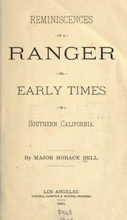

Search results from Open Library.
Recent natural events nearby
- Wildfire GANN, Calaveras, CaliforniaWildfires · 2026-08-03 · 24 mi
- Wildfire DOME, Mariposa, CaliforniaWildfires · 2026-09-15 · 50 mi
- Wildfire FLORISTON, Nevada, CaliforniaWildfires · 2026-09-16 · 108 mi
- Wildfire Bull, Washoe, NevadaWildfires · 2026-10-02 · 118 mi
- Prescribed Fire CRAWFORD CORRAL RX, Tulare, CaliforniaWildfires · 2026-09-19 · 119 mi
- Wildfire Hawk, Washoe, NevadaWildfires · 2026-08-22 · 119 mi
- Wildfire Hawk, Washoe, NevadaWildfires · 2026-08-22 · 119 mi
- Wildfire Bug, Lassen, CaliforniaWildfires · 2026-08-08 · 130 mi
Wildfires, storms and other events from NASA EONET (last 12 months, within 250 mi).
Ground air-quality sensors
Recently spotted species
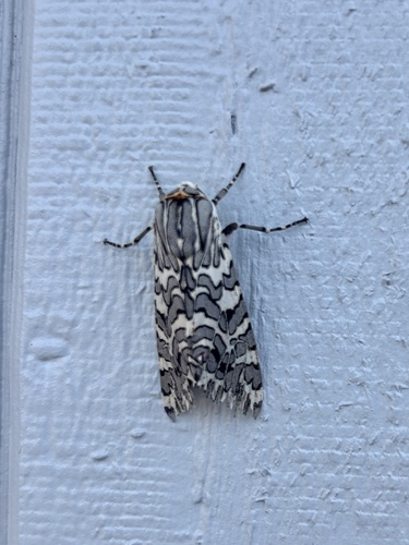
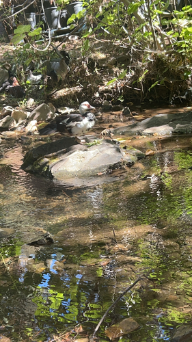
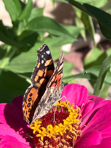
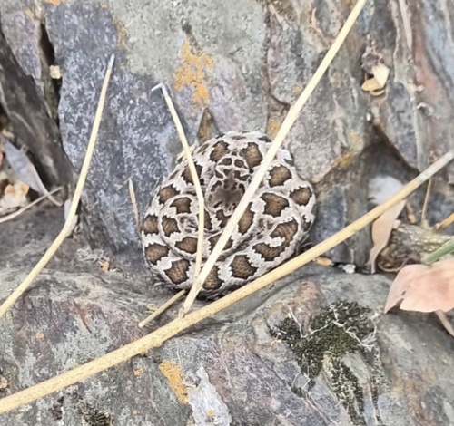
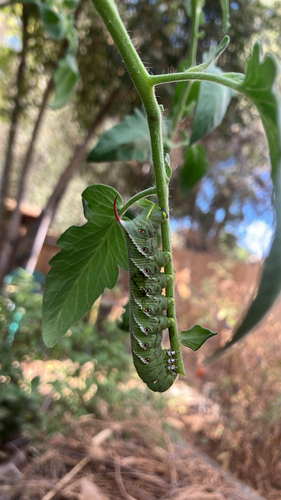
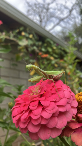

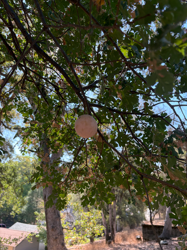
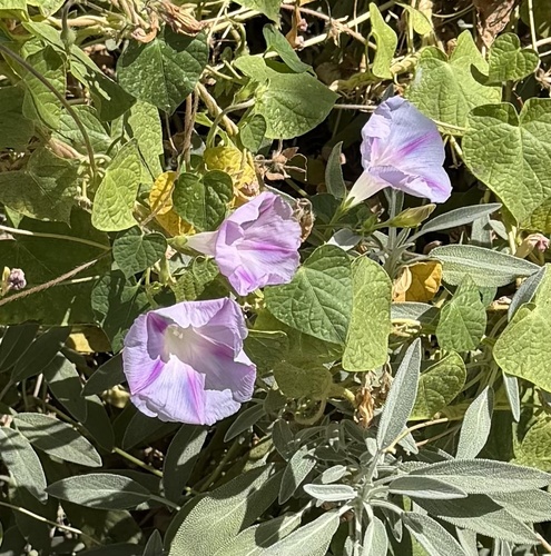
Research-grade observations from iNaturalist (within ~15 mi).
Nearest stream gauge
Events
Gallery
Sources
- • Wikipedia
- • US Census Bureau (ACS 5-year estimates)
- • Wikidata
- • USGS Earthquake Catalog (global feed)
- • GBIF (Global Biodiversity Information Facility)
- • iNaturalist
- • CDC PLACES
- • Open-Meteo / sunrise-sunset.org
- • Wikipedia Pageviews API
- • Open Library
- • NASA EONET