Browse / Canada / British Columbia / Clayhurst
Clayhurst
British Columbiahamlet
Demographic figures from Statistics Canada. Overview below cites Wikipedia and may reference a different year.
City facts
Overview
Clayhurst is a rural community in British Columbia, Canada, located just north of the Peace River and just inside the British Columbia-Alberta boundary.
Read more on WikipediaHistory & geography
History
When the local pioneers of the area met up to submit a name of the area to the BC Government, they decided on Clayhurst or Charyuchville. The BC Government chose Clayhurst, the "Clay" comes from the Clay family, and the "Hurst" comes from the Ukrainians who settled in the area.
Excerpted from the corresponding Wikipedia article (CC BY-SA).
Geography
Coordinates & boundaries from the US Census TIGER/Line shapefiles.
Climate
Air quality
Walkability
Amenities nearby
Wildlife & biodiversity
Earthquake history
Photos
Sights & places nearby
Notable people from here
Nearby places in British Columbia
- Goodlow10.9 mi away
- South Peace Hutterite Colony12.1 mi away
- Peace View Hutterite Colony20.5 mi away
- Baldonnel25.4 mi away
- Charlie Lake36.1 mi away
- Rose Prairie37.5 mi away
- Montney38.8 mi away
- Milligan Creek Christian Community43.2 mi away
- Oetco Flats78.4 mi away
- Hasler Flat85.2 mi away
- Pink Mountain111.2 mi away
- Mackenzie Junction136 mi away
Geography & sun
Elevation, sunrise/sunset and daylight from Open-Meteo. Solar climatology from NASA POWER.
Nearby airports
Public attention
Pageview totals from the Wikimedia Pageviews API.
Books about this place
Recent natural events nearby
Ground air-quality sensors
Recently spotted species
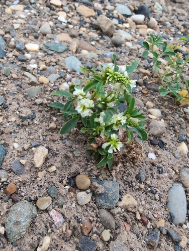
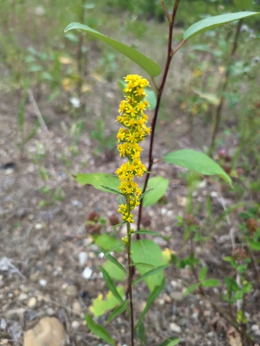
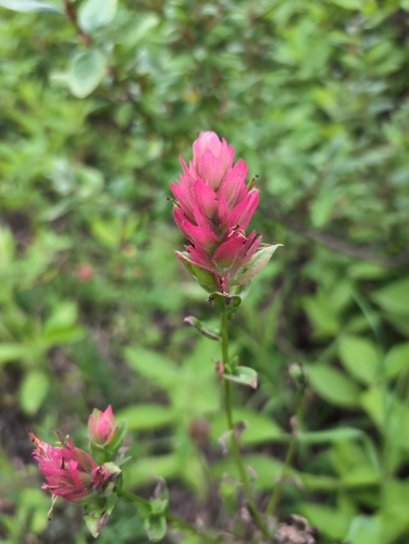
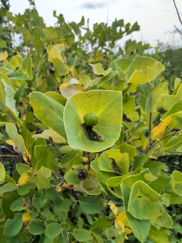
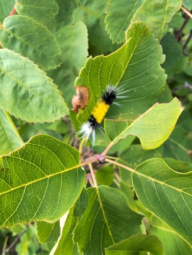
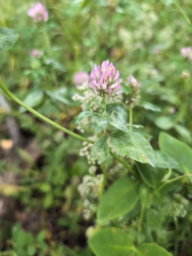
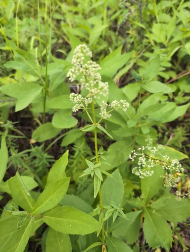
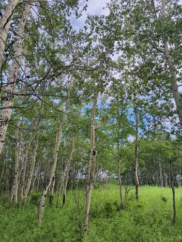
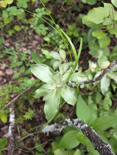
Research-grade observations from iNaturalist (within ~15 mi).
Events
Gallery
Sources
- • Wikipedia
- • Wikidata
- • iNaturalist
- • Open-Elevation
- • Open-Meteo / sunrise-sunset.org
- • Wikipedia Pageviews API