Browse / United States / California / Coalinga
Coalinga
Californiacity

Coalinga
Total population
17,203
Median home value
$262,400
Bachelor's+
Median income
$75,451
Demographic figures from US Census Bureau · ACS 5-year estimates. Overview below cites Wikipedia and may reference a different year.
- Heat Advisory · ModerateHeat Advisory issued October 1 at 9:30AM PDT until October 4 at 10:00PM PDT by NWS Hanford CA
Source: NOAA National Weather Service.
City facts
Facts from Wikidata (CC0).
Overview
Coalinga is a city in the Pleasant Valley in Fresno County and the western San Joaquin Valley, in central California about 80 miles (128 km) southeast of Salinas.
Read more on WikipediaHistory & geography
History
Legendary bandit Joaquin Murrieta was killed in 1853 at his headquarters, Arroyo de Cantua, north of Coalinga. California Historical Landmark #344 marks the approximate site of where he was slain, near the junction of present-day State Route 33 and Route 198. Before 20th-century diesel locomotives, steam locomotives were used, and powered in the San Joaquin Valley by burning coal mined from the northern foothills of Mount Diablo to the north. The Southern Pacific Railroad Company established the site as a coaling station in 1888, and it was called simply Coaling Station A. Local tradition has it that an official of Southern Pacific made the name more sonorous by adding an a to it. However, it is just as likely that the small railside signs of the day, which often abbreviated names, read "COALINGA" to mean "Coaling A." [Another example is Braner's Cut north of Eureka, whose sign said "BRACUT," which has now become the name of that spot along Highway 101.] The resemblance to Nahuatl (where cōātl = "snake") is accidental. The first post office was established in 1899. In 2022, the city struggled to confront an acute water shortage. The city’s only water source is an aqueduct that is managed by the federal government. Officials estimated that the water was going to run dry before the end of 2022. Due to statewide floods that winter, though, the prediction was no longer valid.
Geography
Coalinga is located southwest of Fresno, at an elevation of . The average annual precipitation is , falling mainly from October to May. |source 2 = National Weather Service }}
Excerpted from the corresponding Wikipedia article (CC BY-SA).
Demographics & economy
Race & ethnicity
Source: US Census Bureau — American Community Survey, 5-year estimates.
Geography
Coordinates & boundaries from the US Census TIGER/Line shapefiles.
Climate
Current forecast
Forecast for Coalinga, CA from NOAA NWS API.
Air quality
Industrial & pollution facilities
Natural hazard risk
Health (adults)
Age-adjusted prevalence estimates from CDC PLACES (latest release).
Walkability
Amenities nearby
Wildlife & biodiversity
Most-observed species
- Eurasian Collared-DoveStreptopelia decaocto (Frivaldszky, 1838) · Aves208
- House SparrowPasser domesticus (Linnaeus, 1758) · Aves204
- Common RavenCorvus corax Linnaeus, 1758 · Aves188
- Mourning DoveZenaida macroura (Linnaeus, 1758) · Aves168
- Great-tailed GrackleQuiscalus mexicanus (Gmelin, 1788) · Aves134
- House FinchHaemorhous mexicanus (P.L.Statius Müller, 1776) · Aves125
- Rock PigeonColumba livia J.F.Gmelin, 1789 · Aves121
- European StarlingSturnus vulgaris Linnaeus, 1758 · Aves116
Citizen-science & research observations from the Global Biodiversity Information Facility (GBIF).
Schools
Largest nearby schools
- Coalinga HighHigh · Coalinga · 1,266 students · 21.5:1 ratio
- Coalinga MiddleMiddle · Coalinga · 684 students · 20.7:1 ratio
- Nell Dawson ElementaryElementary · Coalinga · 453 students · 21.6:1 ratio
- Sunset ElementaryElementary · Coalinga · 431 students · 26.9:1 ratio
- Henry F. Bishop ElementaryElementary · Coalinga · 379 students · 22.3:1 ratio
- Cambridge HighHigh · Coalinga · 68 students · 13.6:1 ratio
- Annie E. Cheney KindergartenElementary · Coalinga · 61 students · 20.3:1 ratio
- Miles W. Culwell Community DayHigh · Coalinga · 3 students · 3:1 ratio
Public K–12 schools within ~10 mi from Urban Institute Education Data Portal (NCES Common Core of Data, 2022).
Earthquake history
Most recent
- M 2.74 — 2026-08-2517 km SSE of Shandon, CA
- M 2.75 — 2026-08-234 km NW of Parkfield, CA
- M 2.85 — 2026-08-218 km WNW of Corcoran, CA
- M 2.53 — 2026-08-167 km SW of Atascadero, CA
- M 2.66 — 2026-08-115 km NW of Pinnacles, CA
- M 2.57 — 2026-08-116 km NW of Pinnacles, CA
Events from the USGS Earthquake Catalog (global) (FDSN Event Web Service).
Photos
Sights & places nearby
Notable people from here


People born within ~10 km, from Wikidata (CC0). Click any name for their Wikipedia article.
Nearby places in California
- Lemoore32.1 mi away · pop. 27,038
- Armona37.5 mi away · pop. 3,890
- El Paso de Robles (Paso Robles)39 mi away
- Lake Nacimiento40.7 mi away · pop. 3,339
- Home Garden40.8 mi away
- Lockwood43.4 mi away · pop. 240
- Creston43.7 mi away
- Oak Shores44.3 mi away
- Pine Canyon44.9 mi away
- Biola49.3 mi away · pop. 1,070
- Firebaugh50.2 mi away · pop. 8,392
- Malaga50.8 mi away
Geography & sun
Elevation, sunrise/sunset and daylight from Open-Meteo. Solar climatology from NASA POWER.
Nearby airports
Public attention
Pageview totals from the Wikimedia Pageviews API.
Books about Coalinga
Search results from Open Library.
Recent natural events nearby
- Wildfire PLAINS, San Luis Obispo, CaliforniaWildfires · 2026-08-12 · 53 mi
- Wildfire Plaskett, Monterey, CaliforniaWildfires · 2026-08-26 · 62 mi
- Wildfire Timber, Monterey, CaliforniaWildfires · 2026-08-09 · 77 mi
- Prescribed Fire CRAWFORD CORRAL RX, Tulare, CaliforniaWildfires · 2026-09-19 · 83 mi
- Wildfire DOME, Mariposa, CaliforniaWildfires · 2026-09-15 · 107 mi
- Wildfire BUZZARD, Kern, CaliforniaWildfires · 2026-08-05 · 117 mi
- Wildfire RIDGE, Los Angeles, CaliforniaWildfires · 2026-08-07 · 126 mi
- Wildfire GANN, Calaveras, CaliforniaWildfires · 2026-08-03 · 139 mi
Wildfires, storms and other events from NASA EONET (last 12 months, within 250 mi).
Ground air-quality sensors
Recently spotted species
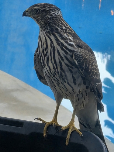
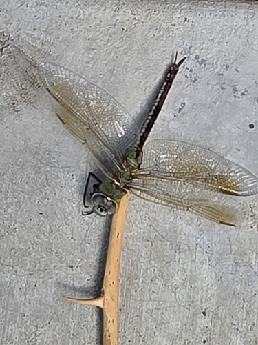
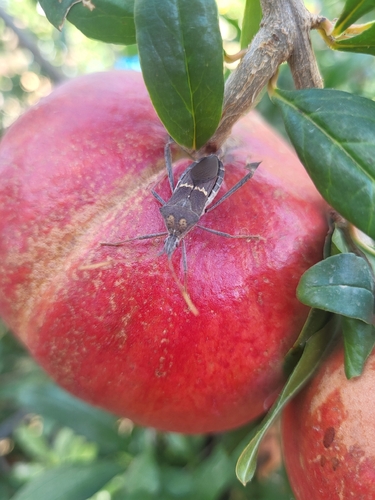
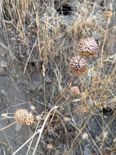
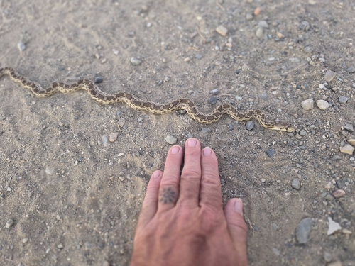
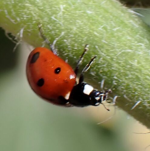
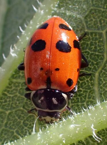
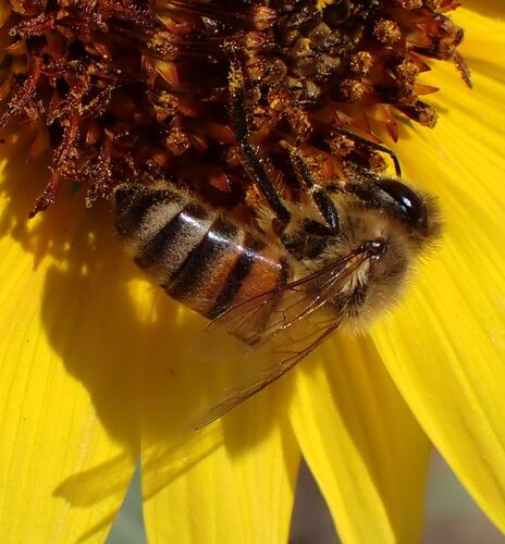
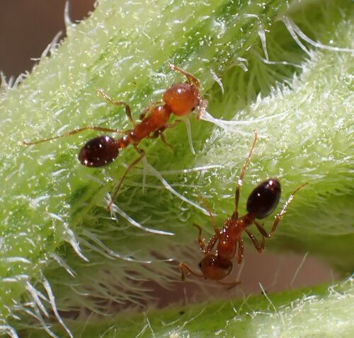
Research-grade observations from iNaturalist (within ~15 mi).
Nearest stream gauge
Events
Gallery
Sources
- • Wikipedia
- • US Census Bureau (ACS 5-year estimates)
- • NOAA National Weather Service
- • Wikidata
- • USGS Earthquake Catalog (global feed)
- • NCES via Urban Institute Education Data Portal
- • GBIF (Global Biodiversity Information Facility)
- • iNaturalist
- • CDC PLACES
- • Open-Meteo / sunrise-sunset.org
- • Wikipedia Pageviews API
- • Open Library
- • NASA EONET