Browse / Canada / British Columbia / Cobble Hill
Cobble Hill
British Columbiavillage

Cobble Hill
Total population
4,796
Demographic figures from Statistics Canada. Overview below cites Wikipedia and may reference a different year.
City facts
Overview
Cobble Hill is a neighborhood in the northwestern portion of the New York City borough of Brooklyn. A small neighborhood comprising 40 blocks, Cobble Hill sits adjacent to Brooklyn Heights to the north, Boerum Hill to the east, Carroll Gardens to the south, and the Columbia Street Waterfront District to the west. It is bounded by Atlantic Avenue (north), Court Street (east), Degraw Street (south) and the Brooklyn–Queens Expressway (west). Other sources add to the neighborhood a rectangle bounded by Wyckoff Street on the north, Hoyt Street on the east, Degraw Street on the south, and Court Street on the west.
Read more on WikipediaHistory & geography
Geography
Coordinates & boundaries from the US Census TIGER/Line shapefiles.
Climate
Air quality
Walkability
Amenities nearby
Wildlife & biodiversity
Earthquake history
Photos
Sights & places nearby
Notable people from here


People born within ~10 km, from Wikidata (CC0). Click any name for their Wikipedia article.
Nearby places in British Columbia
- Mill Bay3 mi away · pop. 1,546
- Lhumlhumuluts’ / Clemclemluts5.8 mi away
- Xwulqw’selu / Koksilah6.4 mi away
- Qw’umiyiqun / Comiaken6.5 mi away
- Kwa’mutsun / Quamichan7.3 mi away
- S’amuna’ / Somena8 mi away
- Glenora8.3 mi away
- Malahat8.5 mi away
- Sahtlam11.2 mi away
- Shirley24.7 mi away
- River Jordan27.6 mi away
- Cassidy28.4 mi away · pop. 971
Geography & sun
Elevation, sunrise/sunset and daylight from Open-Meteo. Solar climatology from NASA POWER.
Nearby airports
Public attention
Pageview totals from the Wikimedia Pageviews API.
Books about Cobble Hill
Search results from Open Library.
Recent natural events nearby
- Wildfire Electric, Whatcom, WashingtonWildfires · 2026-08-22 · 99 mi
- Wildfire Thunder Creek, Skagit, WashingtonWildfires · 2026-08-22 · 118 mi
- Wildfire SISI, Chelan, WashingtonWildfires · 2026-08-14 · 129 mi
- Wildfire KING, Kittitas, WashingtonWildfires · 2026-08-19 · 137 mi
- Wildfire GOAT, Kittitas, WashingtonWildfires · 2026-08-22 · 145 mi
- Wildfire Colwash, Yakima, WashingtonWildfires · 2026-08-22 · 235 mi
- Wildfire MITRE ROCK, Stevens, WashingtonWildfires · 2026-08-01 · 248 mi
Wildfires, storms and other events from NASA EONET (last 12 months, within 250 mi).
Ground air-quality sensors
Recently spotted species
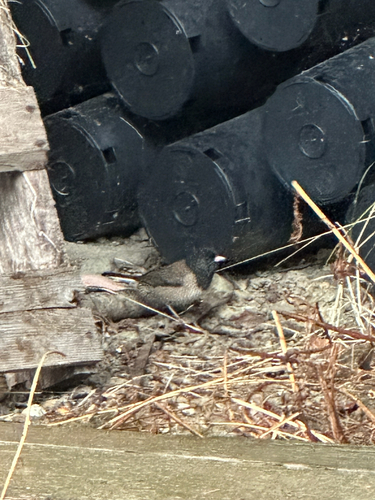
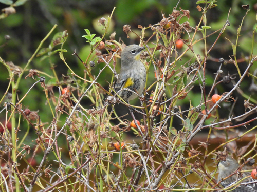
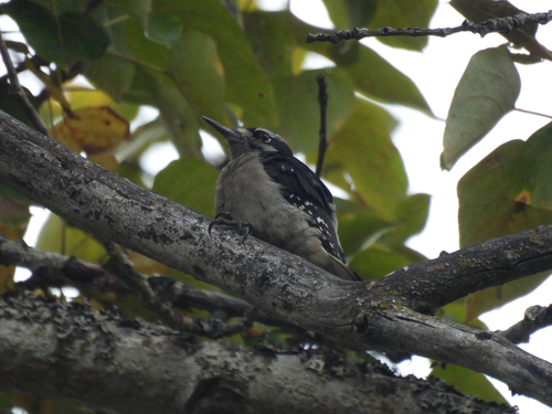
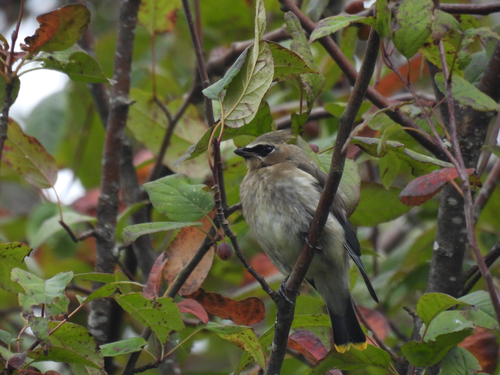
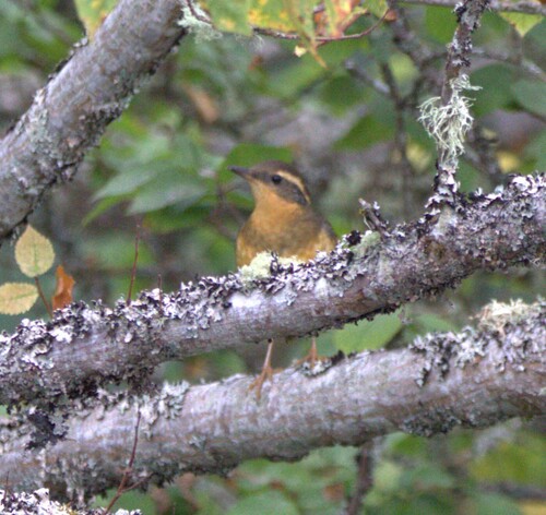
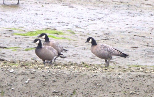
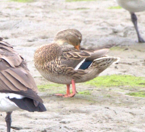
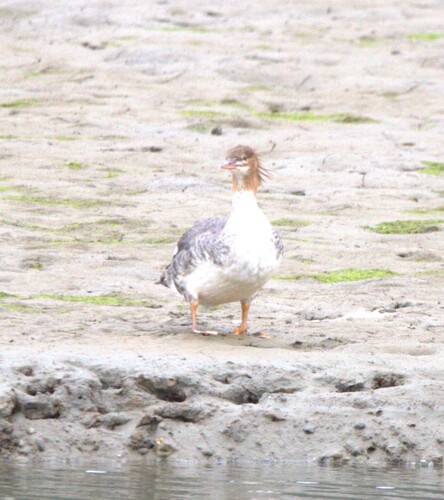
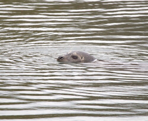
Research-grade observations from iNaturalist (within ~15 mi).
Events
Gallery
Official Identifiers
StatCan — Statistics Canada
- SGC code
- 5919049
- Wikidata
- Q944237
Standard Geographical Classification (SGC) via Wikidata P3012
Sources
- • Wikipedia
- • Wikidata
- • iNaturalist
- • Open-Meteo / sunrise-sunset.org
- • Wikipedia Pageviews API
- • Open Library
- • NASA EONET
- • StatCan — Statistics Canada — Standard Geographical Classification (SGC) via Wikidata P3012