Browse / Canada / New Brunswick / Coles Island
Coles Island
New Brunswickhamlet
Demographic figures from Statistics Canada. Overview below cites Wikipedia and may reference a different year.
City facts
Overview
Coles Island is a settlement and an island in New Brunswick, Canada. The island itself is located in the Canaan River. The community is centred on Route 10, Route 715, and Route 112 intersection and extends south of the island as well. It links travellers on Route 10 - the former Trans-Canada Highway - to southern communities such as Sussex, New Brunswick, Apohaqui Saint John and the Fundy coastline.
Read more on WikipediaHistory & geography
Geography
Coordinates & boundaries from the US Census TIGER/Line shapefiles.
Climate
Air quality
Walkability
Amenities nearby
Wildlife & biodiversity
Earthquake history
Photos
Sights & places nearby
Notable people from here
Nearby places in New Brunswick
Geography & sun
Elevation, sunrise/sunset and daylight from Open-Meteo. Solar climatology from NASA POWER.
Nearby airports
Public attention
Pageview totals from the Wikimedia Pageviews API.
Books about Coles Island
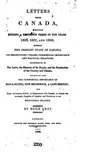

Search results from Open Library.
Recent natural events nearby
Ground air-quality sensors
Recently spotted species
Events
Gallery
Sources
- • Wikipedia
- • Open-Meteo / sunrise-sunset.org
- • Wikipedia Pageviews API
- • Open Library