Browse / Canada / Northwest Territories / Colville Lake
Colville Lake
Northwest Territoriesvillage

Colville Lake
Total population
129
Founded
1995
Demographic figures from Statistics Canada. Overview below cites Wikipedia and may reference a different year.
City facts
Facts from Wikidata (CC0).
Overview
Colville Lake is a settlement corporation located in the Sahtu Region of the Northwest Territories, Canada. The community is located 50 km (31 mi) north of the Arctic Circle, on a lake of the same name, and is northeast of Norman Wells. This settlement is the administrative office of the Behdzi Ahda band government. The community is likely named for Hudson's Bay Company Governor Andrew Colvile.
Read more on WikipediaHistory & geography
History
The community of Colville Lake is the ancestral homeland of the Hareskin (Sahtu) Dene who still inhabit the area. The Hareskin Dene were never very numerous, with a population of less than one thousand people, living in six or seven bands, at the time of European contact. The Hareskins were a peaceful group, known for their use of small animals such as the Arctic hare. Located within the traditional homeland of the North Slave Dene tribe, Colville Lake is a completely traditional community in every sense. Although Father Émile Petitot brought Christianity to the area in 1864, organization of the community did not occur until 1962 when a Roman Catholic mission was established by Bern Will Brown. In September 2025, Our Lady of the Snows, the local Catholic church, was destroyed by fire.
Geography
Colville Lake is located by air, northwest of Yellowknife. The terrain is characterized by black spruce and tends to be small and sparse. Other vegetation includes mosses, lichens, grasses and alders. The winter months begin in October and last until April. The month of May is considered the spring or breakup period. By the end of May or early June the lakes and rivers are normally free of ice, although this varies. June, July and August are considered the summer months and temperatures range in the mid twenties. At times the temperature has climbed into the low thirties. By late September, freeze up is well underway again.
Excerpted from the corresponding Wikipedia article (CC BY-SA).
Geography
Coordinates & boundaries from the US Census TIGER/Line shapefiles.
Climate
Air quality
Walkability
Amenities nearby
Wildlife & biodiversity
Earthquake history
Photos
Sights & places nearby
Notable people from here
Nearby places in Northwest Territories
- Fort Good Hope87.9 mi away
- Norman Wells / Tłegǫ́hłı̨123.1 mi away
- Délı̨nę148.2 mi away · pop. 550
- Tulita148.3 mi away · pop. 500
- Paulatuk167.7 mi away · pop. 294
- Martin House193.6 mi away
- Letty Harbour198.8 mi away
- Stanton200.2 mi away
- Tsiigehtchic206.3 mi away · pop. 145
- Cape Parry219.1 mi away
- Fort McPherson236.4 mi away
- Reindeer Station238.2 mi away
Geography & sun
Elevation, sunrise/sunset and daylight from Open-Meteo. Solar climatology from NASA POWER.
Nearby airports
Public attention
Pageview totals from the Wikimedia Pageviews API.
Books about Colville Lake


Search results from Open Library.
Recent natural events nearby
Ground air-quality sensors
Recently spotted species
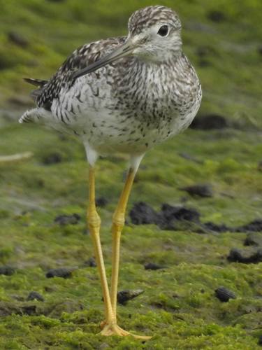
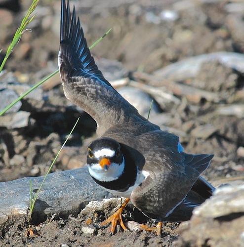
Research-grade observations from iNaturalist (within ~15 mi).
Events
Gallery
Official Identifiers
StatCan — Statistics Canada
- SGC code
- 6102012
- Wikidata
- Q2984605
Standard Geographical Classification (SGC) via Wikidata P3012
Sources
- • Wikipedia
- • Wikidata
- • iNaturalist
- • Open-Meteo / sunrise-sunset.org
- • Wikipedia Pageviews API
- • Open Library
- • StatCan — Statistics Canada — Standard Geographical Classification (SGC) via Wikidata P3012