Browse / United States / California / Concord
Concord
Californiacity

Concord
Total population
124,030
Median home value
$788,800
Bachelor's+
Median income
$107,318
Founded
1869
Air quality index
Demographic figures from US Census Bureau · ACS 5-year estimates. Overview below cites Wikipedia and may reference a different year.
- Heat Advisory · ModerateHeat Advisory issued October 1 at 9:43AM PDT until October 4 at 10:00PM PDT by NWS San Francisco CA
Source: NOAA National Weather Service.
City facts
Sister cities
Facts from Wikidata (CC0).
Overview
Concord is the most populous city in Contra Costa County, California, United States. According to an estimate completed by the United States Census Bureau, the city had a population of 123,261 in 2025, making it the tenth most populous city in the San Francisco Bay Area. Founded in 1869 as Todos Santos by El Purungazo Don Salvio Pacheco II, a noted Californio ranchero, the name was later changed to Concord. The city is a major regional suburban East Bay center within the San Francisco Bay Area, and is 29 miles east of San Francisco.
Read more on WikipediaHistory & geography
History
The valleys north of Mount Diablo were inhabited by the Miwok people, who hunted elk and fished in the numerous streams flowing from the mountain into the San Francisco Bay. Miwok and other indigenous people still live within city limits. In 1772, Spanish explorers began to cross the area but did not settle there. In 1834, the Mexican land grant Rancho Monte del Diablo at the base of Mount Diablo was granted to Salvio Pacheco (for whom the nearby town of Pacheco is named). Concord was founded under the name of Todos Santos ("all saints"; a name still borne by the central city plaza and park between Willow Pass Road and Salvio Street), on the initiative of Pacheco in 1869. It achieved prominence in the 19th century, when most residents of Pacheco relocated to Concord to avoid the devastation of fire and flood which crippled Pacheco's formerly booming economy. Concord was incorporated on February 5, 1905. The area around Concord in the surrounding Ygnacio and Clayton valleys was a large agricultural area. The crops grown included grapes, walnuts, almonds, wheat, hay, and even tomatoes. The area to the east (now the site of the Concord Naval Weapons Station) was the site of a few enormous wheat ranches of over , and was almost a sea of wheat all the way to the marshes bordering Suisun Bay. During Prohibition, many vineyards were removed and replaced with walnut orchards. The town of Cowell, now incorporated into Concord, produced cement. The first Concord post office opened in 1872. The munitions on board a Navy cargo ship exploded while being loaded during World War II, resulting in the largest number of casualties among African Americans in any one incident during that war. On the evening of July 17, 1944, a massive explosion instantly killed 320 sailors, merchant…
Geography
Concord is located at . According to the United States Census Bureau, the city has a total area of , all of it land. The focal point of downtown Concord is Todos Santos Plaza, which encompasses an entire city block and is known for its farmers market, free summer concerts, and large number of surrounding restaurants. Much of the area immediately around downtown has recently been redeveloped, with new high-density apartment and condominium projects to take advantage of the proximity to public transportation and to the area surrounding the park. Despite this, some crime and homelessness remain issues in the downtown area. Concord is bordered on the west by Pleasant Hill and the unincorporated community of Pacheco, on the south by Walnut Creek, on the southeast by Clayton, on the northeast by Pittsburg and the unincorporated community of Bay Point, and on the north by the unincorporated community of Clyde. Although it shares no border with Concord, Martinez (the county seat) is located almost immediately adjacent to Concord on the northwest. The North Concord BART station is also known as Martinez BART. Concord has a warm-summer Mediterranean climate (Köppen Csb), with warm, dry summers and cool, wet winters. Official data from the National Weather Service cooperative station in Concord shows average January temperatures are a maximum of and a minimum of . Average July temperatures are a maximum of and a minimum of . There are an average of 45.0 days with highs of or higher and 3.8 days with lows of or lower. The highest recorded temperature was on September 1, 2017. The lowest record temperature was on December 23, 1998. Average annual precipitation is , falling on an average of 71 days annually. The wettest year was 1995, with and the driest year was 2007,…
Excerpted from the corresponding Wikipedia article (CC BY-SA).
Demographics & economy
Race & ethnicity
Source: US Census Bureau — American Community Survey, 5-year estimates.
Geography
Coordinates & boundaries from the US Census TIGER/Line shapefiles.
Climate
Current forecast
Forecast for Concord, CA from NOAA NWS API.
Air quality
Current readings from Open-Meteo Air Quality API (Copernicus CAMS European reanalysis).
Industrial & pollution facilities
Natural hazard risk
Health (adults)
Age-adjusted prevalence estimates from CDC PLACES (latest release).
Walkability
Amenities nearby
Wildlife & biodiversity
Most-observed species
- Anna's HummingbirdCalypte anna (R.Lesson, 1829) · Aves24,045
- California/Woodhouse's Scrub-JayAphelocoma californica (Vigors, 1839) · Aves23,217
- House FinchHaemorhous mexicanus (P.L.Statius Müller, 1776) · Aves21,784
- Oak TitmouseBaeolophus inornatus (Gambel, 1845) · Aves20,640
- Lesser GoldfinchSpinus psaltria (Say, 1822) · Aves19,925
- Dark-eyed JuncoJunco hyemalis (Linnaeus, 1758) · Aves18,894
- Mourning DoveZenaida macroura (Linnaeus, 1758) · Aves17,543
- California TowheeMelozone crissalis (Vigors, 1839) · Aves16,754
Citizen-science & research observations from the Global Biodiversity Information Facility (GBIF).
Schools
Largest nearby schools
- Pittsburg Senior HighHigh · Pittsburg · 3,494 students · 23.3:1 ratio
- Clayton Valley Charter HighHigh · Concord · 2,381 students · 25.3:1 ratio
- Monte Vista HighHigh · Danville · 2,243 students · 24.4:1 ratio
- College Park HighHigh · Pleasant Hill · 1,956 students · 25.1:1 ratio
- Las Lomas HighHigh · Walnut Creek · 1,571 students · 19.9:1 ratio
- Northgate HighHigh · Walnut Creek · 1,507 students · 24.3:1 ratio
- Mt. Diablo HighHigh · Concord · 1,498 students · 19:1 ratio
- Campolindo HighHigh · Moraga · 1,343 students · 19.8:1 ratio
Public K–12 schools within ~10 mi from Urban Institute Education Data Portal (NCES Common Core of Data, 2022).
Earthquake history
Photos
Sights & places nearby
Notable people from here


People born within ~10 km, from Wikidata (CC0). Click any name for their Wikipedia article.
Nearby places in California
Geography & sun
Elevation, sunrise/sunset and daylight from Open-Meteo. Solar climatology from NASA POWER.
Nearby airports
Public attention
Pageview totals from the Wikimedia Pageviews API.
Books about Concord
Search results from Open Library.
Recent natural events nearby
- Wildfire GANN, Calaveras, CaliforniaWildfires · 2026-08-03 · 68 mi
- Wildfire LUCAS, Lake, CaliforniaWildfires · 2026-09-10 · 102 mi
- Wildfire LUCAS, Lake, CaliforniaWildfires · 2026-09-10 · 103 mi
- Wildfire Timber, Monterey, CaliforniaWildfires · 2026-08-09 · 122 mi
- Wildfire DOME, Mariposa, CaliforniaWildfires · 2026-09-15 · 133 mi
- Wildfire FLORISTON, Nevada, CaliforniaWildfires · 2026-09-16 · 145 mi
- Wildfire Plaskett, Monterey, CaliforniaWildfires · 2026-08-26 · 146 mi
- Wildfire Bull, Washoe, NevadaWildfires · 2026-10-02 · 153 mi
Wildfires, storms and other events from NASA EONET (last 12 months, within 250 mi).
Ground air-quality sensors
Recently spotted species
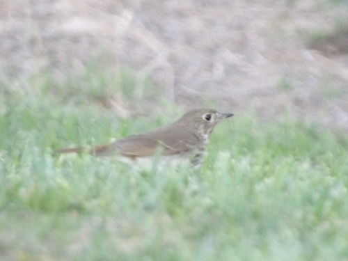
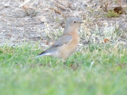
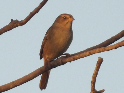
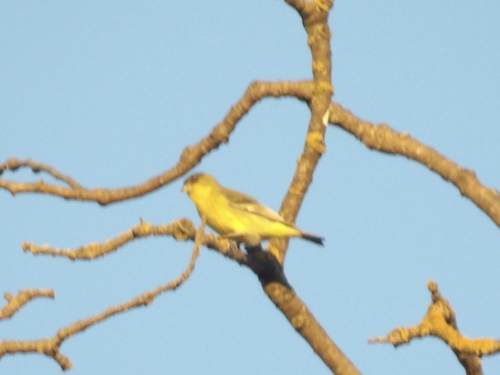
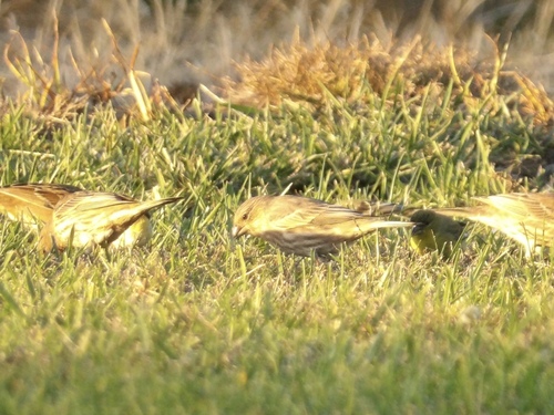
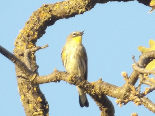
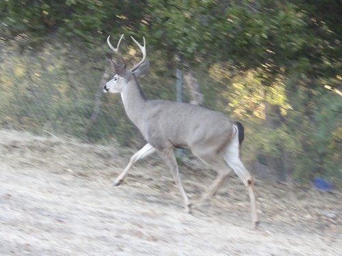
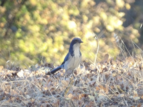
Research-grade observations from iNaturalist (within ~15 mi).
Nearest stream gauge
Live readings from USGS NWIS · measured 2026-10-16 20:00 UTC.
Events
Notable, recurring, and historical events associated with Concord, sourced from Wikidata.
- East Bay Comic ConFeb 5, 2025planned event
event located in the East Bay region of Northern California where fans of comic books, original art, comic creators, gaming, toys and other ephemera can convene
Source: Wikidata (CC0).
Gallery
Geotagged photos within ~6 miles of Concord, from Wikimedia Commons contributors.
 0.2 mi
.jpg) 0.8 mi
0.8 mi 1.3 mi
 1.3 mi
 1.3 mi
.jpg) 1.4 mi
1.4 mi.jpg) 1.4 mi
1.4 mi.jpg) 1.4 mi
1.4 mi 1.4 mi
 1.4 mi
 1.5 mi
 1.5 mi
 1.5 mi
 1.5 mi
 1.5 mi
 1.5 mi
 1.5 mi
 1.5 mi
 1.5 mi
 1.5 mi
 1.5 mi
 1.5 mi
 1.5 mi
 1.5 mi
Photos via Wikimedia Commons — see each image page for license & attribution.
Sources
- • Wikipedia
- • US Census Bureau (ACS 5-year estimates)
- • NOAA National Weather Service
- • Wikimedia Commons
- • Wikidata
- • Open-Meteo Air Quality (CAMS)
- • USGS NWIS (water data)
- • NCES via Urban Institute Education Data Portal
- • GBIF (Global Biodiversity Information Facility)
- • iNaturalist
- • CDC PLACES
- • Open-Meteo / sunrise-sunset.org
- • Wikipedia Pageviews API
- • Open Library
- • NASA EONET