Browse / Canada / British Columbia / Coquitlam
Coquitlam
British Columbiacity

Coquitlam
Total population
148,625
Founded
1908
Demographic figures from Statistics Canada. Overview below cites Wikipedia and may reference a different year.
City facts
Facts from Wikidata (CC0).
Overview
Coquitlam is a suburban city in the Lower Mainland area of British Columbia, Canada. It is one of the 21 municipalities comprising Metro Vancouver, and is the largest municipality in the Tri-Cities.
Read more on WikipediaHistory & geography
History
The Coast Salish people were the first to live in this area, and archaeology confirms continuous occupation of the territory for at least 9,000 years. The name Kwikwetlem is said to be derived from a Coast Salish term "kʷikʷəƛ̓əm" meaning "red fish up the river". Explorer Simon Fraser came through the region in 1808, and in the 1860s Europeans gradually started settling the area. Coquitlam began as a "place-in-between" with the construction of North Road in the mid-19th century to provide Royal Engineers in New Westminster access to the year-round port facilities in Port Moody. The young municipality got its first boost in 1889 when Frank Ross and James McLaren opened what would become Fraser Mills, a $350,000, then state-of-the-art lumber mill on the north bank of the Fraser River. The Corporation of the District of Coquitlam was incorporated in 1891. In the late 1900s, a mill manager's residence was built that would later become Place des Arts. At the same time, Sikh immigrants also constructed a gurdwara. Over the next two years, several contingents of French Canadian mill workers arrived from Quebec, and Maillardville was born. Named for Father Edmond Maillard, a young Oblate from France, it became the largest Francophone centre west of Manitoba. Maillardville's past is recognized today in street names, the Francophone education system and French immersion programs, French-language Girl Guides and scouts, and celebrations such as Festival du Bois. Following World War II, Coquitlam and the rest of the Lower Mainland experienced substantial population growth that continues today. The opening of Lougheed Highway in 1953 made the city more accessible and set the stage for residential growth. In 1971, Coquitlam and Fraser Mills were amalgamated, which gave the city…
Geography
Coquitlam is situated some east of Vancouver, where the Coquitlam River connects with the Fraser River and extends northeast along the Pitt River toward the Coquitlam and Pitt lakes. Coquitlam borders Burnaby and Port Moody to the west, New Westminster to the southwest, and Port Coquitlam to the southeast. Burke Mountain, Eagle Ridge, and tall Coquitlam Mountain form the northern boundary of the city. Coquitlam's area, , is about six times larger than either Port Moody or Port Coquitlam. Coquitlam is in the Pacific Time Zone (winter UTC−8, summer UTC−7), and the Pacific Maritime Ecozone. Coquitlam's geographic shape can be thought of as a tilted hourglass, with two larger parcels of land with a smaller central section connecting them. Southwest Coquitlam comprises the original core of the city, with Maillardville and Fraser River industrial sector giving way to the large, elevated, flat-plateaued residential areas of Austin Heights. These older residences, with larger property dimensions, are increasingly being torn down and replaced with newer and larger homes. The Poirier Street area was the city's original recreational centre with the Coquitlam Sports Centre, Chimo Aquatic and Fitness Centre, and sports fields located there, while City Hall was previously located further south in Maillardville. The Austin Heights area contains Como Lake, a renowned urban fishing and recreation area, and headwaters for the Como watershed. The watershed represents one of the last urban watersheds in the Tri-Cities that supports wild stocks of coho salmon as well as other species at risk such as coastal cutthroat trout (both sea-run and resident) and bird species such as the great blue heron and green heron. It also contains Mundy Park, one of the largest urban parks in the Metro…
Excerpted from the corresponding Wikipedia article (CC BY-SA).
Geography
Coordinates & boundaries from the US Census TIGER/Line shapefiles.
Climate
Air quality
Walkability
Amenities nearby
Wildlife & biodiversity
Most-observed species
- American CrowCorvus brachyrhynchos C.L.Brehm, 1822 · Aves53,524
- Song SparrowMelospiza melodia (A.Wilson, 1810) · Aves51,363
- Black-capped ChickadeePoecile atricapillus (Linnaeus, 1766) · Aves47,816
- Spotted TowheePipilo maculatus Swainson, 1827 · Aves40,431
- American RobinTurdus migratorius Linnaeus, 1766 · Aves40,363
- Northern FlickerColaptes auratus (Linnaeus, 1758) · Aves36,651
- MallardAnas platyrhynchos Linnaeus, 1758 · Aves34,628
- Anna's HummingbirdCalypte anna (R.Lesson, 1829) · Aves29,697
Citizen-science & research observations from the Global Biodiversity Information Facility (GBIF).
Earthquake history
Most recent
- M 2.56 — 2026-05-297 km ENE of Ferndale, Washington
- M 2.7 — 2026-04-275 km N of Anacortes, Washington
- M 2.7 — 2026-01-2612 km WSW of Anacortes, Washington
- M 2.7 — 2025-10-2110 km SE of Salt Spring Island, Canada
- M 2.8 — 2025-04-0520 km ENE of South Pender Harbour, Canada
- M 2.52 — 2025-03-264 km ENE of Oak Bay, Canada
Events from the USGS Earthquake Catalog (global) (FDSN Event Web Service).
Photos
Sights & places nearby
Notable people from here
Nearby places in British Columbia
Geography & sun
Elevation, sunrise/sunset and daylight from Open-Meteo. Solar climatology from NASA POWER.
Nearby airports
Public attention
Pageview totals from the Wikimedia Pageviews API.
Books about Coquitlam
Search results from Open Library.
Recent natural events nearby
- Wildfire Electric, Whatcom, WashingtonWildfires · 2026-08-22 · 75 mi
- Wildfire Thunder Creek, Skagit, WashingtonWildfires · 2026-08-22 · 95 mi
- Wildfire SISI, Chelan, WashingtonWildfires · 2026-08-14 · 110 mi
- Wildfire KING, Kittitas, WashingtonWildfires · 2026-08-19 · 144 mi
- Wildfire SINLAHEKIN, Okanogan, WashingtonWildfires · 2026-07-26 · 146 mi
- Wildfire GOAT, Kittitas, WashingtonWildfires · 2026-08-22 · 149 mi
- Wildfire RANSIER, Yakima, WashingtonWildfires · 2026-07-26 · 223 mi
- Wildfire MITRE ROCK, Stevens, WashingtonWildfires · 2026-08-01 · 225 mi
Wildfires, storms and other events from NASA EONET (last 12 months, within 250 mi).
Ground air-quality sensors
Recently spotted species
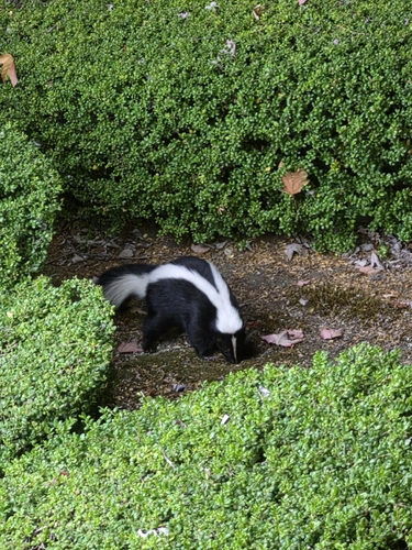
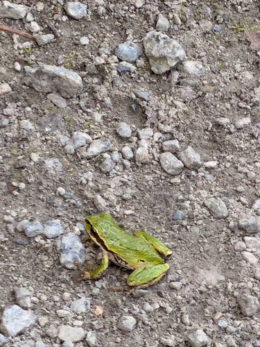
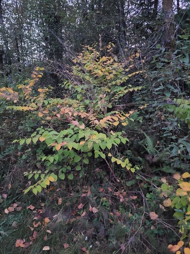
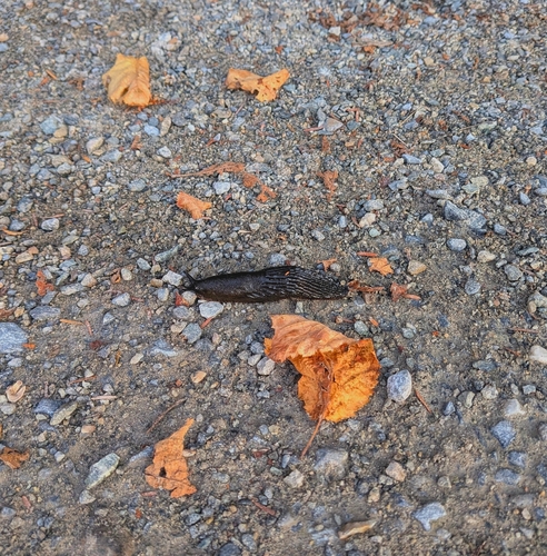
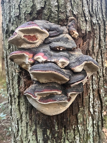
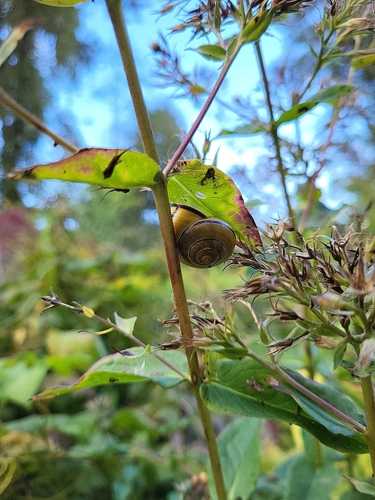
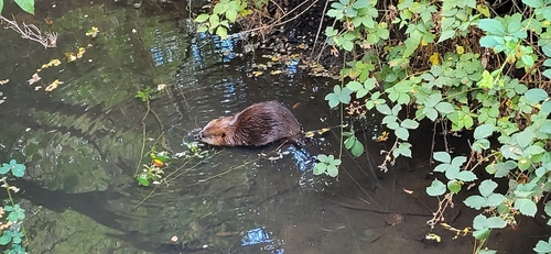
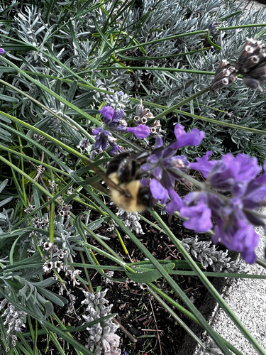
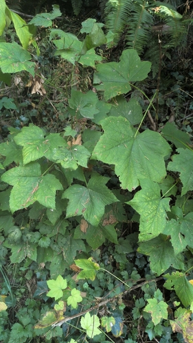
Research-grade observations from iNaturalist (within ~15 mi).
Events
Gallery
Official Identifiers
StatCan — Statistics Canada
- SGC code
- 5915034
- Population (Wikidata)
- 148,625
- Wikidata
- Q643215
Standard Geographical Classification (SGC) via Wikidata P3012
Sources
- • Wikipedia
- • Wikidata
- • USGS Earthquake Catalog (global feed)
- • GBIF (Global Biodiversity Information Facility)
- • iNaturalist
- • Open-Meteo / sunrise-sunset.org
- • Wikipedia Pageviews API
- • Open Library
- • NASA EONET
- • StatCan — Statistics Canada — Standard Geographical Classification (SGC) via Wikidata P3012