Browse / United States / California / Corona
Corona
Californiacity

Corona
Total population
161,540
Median home value
$746,500
Bachelor's+
Median income
$103,507
Demographic figures from US Census Bureau · ACS 5-year estimates. Overview below cites Wikipedia and may reference a different year.
- High Wind Warning · SevereHigh Wind Warning issued October 16 at 5:10AM PDT until October 17 at 8:00PM PDT by NWS San Diego CA
Source: NOAA National Weather Service.
City facts
Sister cities
Facts from Wikidata (CC0).
Overview
Corona is a city in northwestern Riverside County, California, United States, directly bordering Orange and San Bernardino counties. Its current mayor is Jacque Casillas. At the 2020 census, the city had a population of 157,136, up from 152,374 at the 2010 census. Corona is surrounded by Riverside to the east, Norco to the north and northeast, Yorba Linda to the northwest, Cleveland National Forest and the Santa Ana Mountains to the west, southwest, and south. Several unincorporated communities are along the rest of the city's borders. Downtown Corona is approximately 48 miles (77 km) southeast of Downtown Los Angeles and 95 miles (153 km) north-northwest of San Diego.
Read more on WikipediaHistory & geography
History
Prior to the late eighteenth century, the area was primarily inhabited by the Tongva and Payómkawichum, who lived in a series of villages throughout the area. What is now Corona stood at the southeastern extent of Tovaangar, or the Tongva world, and at the northern edge of Payómkawichum territory. The primary settlement in the area was the village of Paxauxa, which was established along the banks of the Temescal Creek at about where Corona is situated today. The settlement was shared by both the Tongva and Payómkawichum people. Cooperation and marriage between the two villages was common. High above the city of Corona, the village of Pamajam was also located in a small valley of the Santa Ana Mountains. The founding of Mission San Juan Capistrano in 1776 and Mission San Luis Rey in 1798 saw the introduction of Spanish soldiers and missionaries in the area. This resulted in villagers being brought to the mission to be baptized and as labor. Spanish influence increased in the area with the establishment of the San Antonio de Pala Asistencia in 1816. Two years following the construction of this mission outpost, the Temescal Valley's first European resident, Leandro Serrano, was given permission by the Spanish to use the area for cattle grazing. His first order was to kill the local bear and mountain lion population for the imported herds. After the secularization of the Spanish missions by the First Mexican Republic in 1833, the land under influence by the missions in Alta California was gradually granted to large landowners as ranches. In 1848, Californio governor Pio Pico issued this land to Bernardo Yorba, which included present-day city of Corona. The street layout was designed by Hiram Clay Kellogg, a civil engineer from Anaheim who was an influential figure in…
Geography
Corona is located in western Riverside County, east of Orange County. According to the United States Census Bureau, the city has a total area of , of which of it is land and of it, or 0.27%, is water. Corona experiences a hot Mediterranean climate (Köppen climate classification: CSa) and has mild to cool winters and hot summers. Most of the rainfall (as in all of Southern California) occurs during winter and early spring. Winter days are pleasant, with the average highs staying in the mid to upper 60s. But compared to other areas in Southern California, winter lows are colder, with common frost and chilly mornings. Snowfall within city limits is rare. Snow flurries will occasionally fall, usually once every other year, but it very rarely snows to the point where it accumulates. The nearby Santa Ana Mountains receive a dusting of snow a few times each winter. Spring brings pleasant weather with daytime temperatures in the mid to upper 70s, and nighttime lows in the upper 40s. Spring showers are common during the beginning of the season but are a rarity by late May. Summertime is hot, with highs averaging in the low to mid 90s. During the hottest months, daytime temperatures in Corona can exceed . In early summer, Corona receives common overcast weather known as "May Gray" and "June Gloom". Summer thunderstorms are sporadic and usually happen between July and September from the North American Monsoons, bringing increased humidity and scattered thunderstorms. Autumn features warm days and sharply cooler evenings, but can be windy due to the Santa Ana winds, blowing in two or three times a year from October to December.
Excerpted from the corresponding Wikipedia article (CC BY-SA).
Demographics & economy
Race & ethnicity
Source: US Census Bureau — American Community Survey, 5-year estimates.
Geography
Coordinates & boundaries from the US Census TIGER/Line shapefiles.
Climate
Current forecast
Forecast for Corona, CA from NOAA NWS API.
Air quality
Industrial & pollution facilities
Natural hazard risk
Health (adults)
Age-adjusted prevalence estimates from CDC PLACES (latest release).
Walkability
Amenities nearby
Wildlife & biodiversity
Most-observed species
- House FinchHaemorhous mexicanus (P.L.Statius Müller, 1776) · Aves17,205
- Black PhoebeSayornis nigricans (Swainson, 1827) · Aves13,597
- Lesser GoldfinchSpinus psaltria (Say, 1822) · Aves13,507
- Mourning DoveZenaida macroura (Linnaeus, 1758) · Aves13,294
- American CrowCorvus brachyrhynchos C.L.Brehm, 1822 · Aves13,239
- Common RavenCorvus corax Linnaeus, 1758 · Aves12,766
- California TowheeMelozone crissalis (Vigors, 1839) · Aves12,308
- Acorn WoodpeckerMelanerpes formicivorus (Swainson, 1827) · Aves11,865
Citizen-science & research observations from the Global Biodiversity Information Facility (GBIF).
Schools
Largest nearby schools
- Eleanor Roosevelt HighHigh · Eastvale · 4,566 students · 25.8:1 ratio
- Santiago HighHigh · Corona · 3,460 students · 25.8:1 ratio
- Centennial HighHigh · Corona · 3,037 students · 25.1:1 ratio
- Corona HighHigh · Corona · 2,251 students · 23.9:1 ratio
- Norco HighHigh · Norco · 2,070 students · 24.1:1 ratio
- Norte Vista HighHigh · Riverside · 1,971 students · 20.1:1 ratio
- Arlington HighHigh · Riverside · 1,957 students · 24.8:1 ratio
- Hillcrest HighHigh · Riverside · 1,824 students · 23.1:1 ratio
Public K–12 schools within ~10 mi from Urban Institute Education Data Portal (NCES Common Core of Data, 2022).
Earthquake history
Most recent
- M 2.77 — 2026-10-153 km NNW of San Jacinto, CA
- M 2.71 — 2026-10-114 km E of San Jacinto, CA
- M 3.16 — 2026-10-092 km SW of Signal Hill, CA
- M 2.7 — 2026-10-082 km WNW of Fontana, CA
- M 2.6 — 2026-10-064 km NNW of Big Bear City, CA
- M 2.51 — 2026-10-0531 km SW of Dana Point, CA
Events from the USGS Earthquake Catalog (global) (FDSN Event Web Service).
Photos
Sights & places nearby
Notable people from here


People born within ~10 km, from Wikidata (CC0). Click any name for their Wikipedia article.
Nearby places in California
- Modjeska11.2 mi away · pop. 714
- North Tustin14.8 mi away
- Bloomington16.6 mi away · pop. 25,698
- Grand Terrace18.6 mi away · pop. 13,078
- Las Flores19.5 mi away · pop. 5,513
- Laguna Woods19.7 mi away · pop. 17,289
- Rowland Heights20.1 mi away · pop. 45,911
- San Antonio Heights21 mi away
- Loma Linda22 mi away · pop. 25,122
- San Dimas22 mi away · pop. 33,789
- Muscoy23.8 mi away
- East Whittier24.7 mi away
Geography & sun
Elevation, sunrise/sunset and daylight from Open-Meteo. Solar climatology from NASA POWER.
Nearby airports
Public attention
Pageview totals from the Wikimedia Pageviews API.
Books about Corona


Search results from Open Library.
Recent natural events nearby
- Wildfire BOUQUET, Los Angeles, CaliforniaWildfires · 2026-10-03 · 68 mi
- Wildfire RIDGE, Los Angeles, CaliforniaWildfires · 2026-08-07 · 97 mi
- Wildfire BUZZARD, Kern, CaliforniaWildfires · 2026-08-05 · 106 mi
- Cyclone RachelSevere Storms · 2026-10-11 · 124 mi
- Wildfire CYRUS, Kern, CaliforniaWildfires · 2026-10-09 · 136 mi
- Wildfire PLAINS, San Luis Obispo, CaliforniaWildfires · 2026-08-12 · 175 mi
- Prescribed Fire CRAWFORD CORRAL RX, Tulare, CaliforniaWildfires · 2026-09-19 · 205 mi
Wildfires, storms and other events from NASA EONET (last 12 months, within 250 mi).
Ground air-quality sensors
Recently spotted species
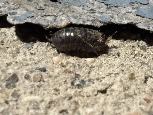
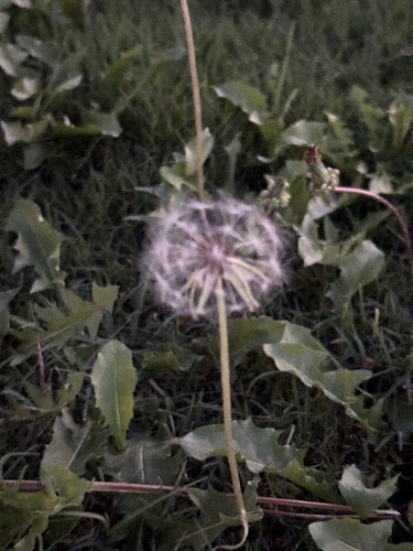
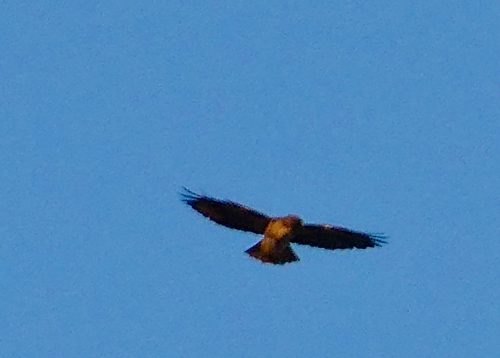
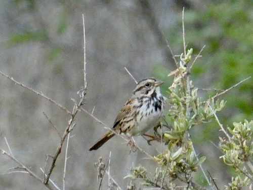
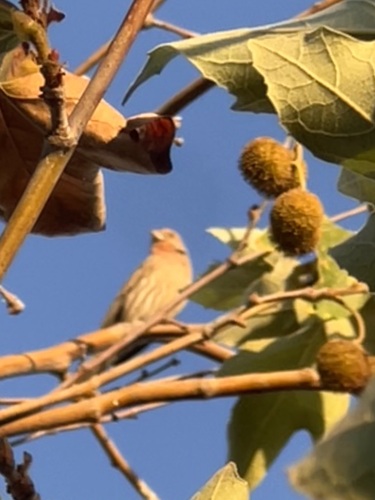
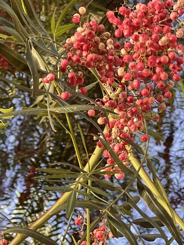
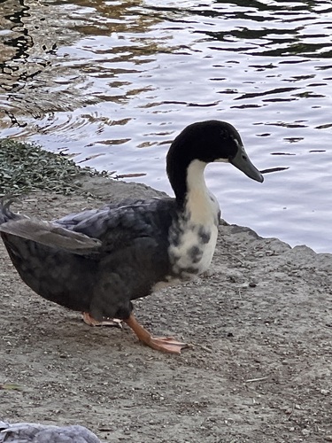
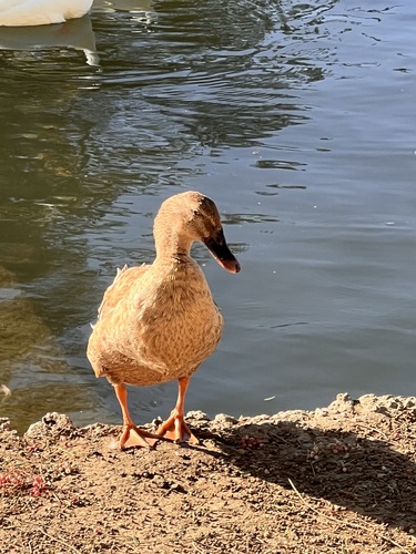

Research-grade observations from iNaturalist (within ~15 mi).
Nearest stream gauge
Live readings from USGS NWIS · measured 2026-10-01 16:15 UTC.
Events
Gallery
Sources
- • Wikipedia
- • US Census Bureau (ACS 5-year estimates)
- • NOAA National Weather Service
- • Wikidata
- • USGS Earthquake Catalog (global feed)
- • USGS NWIS (water data)
- • NCES via Urban Institute Education Data Portal
- • GBIF (Global Biodiversity Information Facility)
- • iNaturalist
- • CDC PLACES
- • Open-Meteo / sunrise-sunset.org
- • Wikipedia Pageviews API
- • Open Library
- • NASA EONET