Browse / United States / California / Coronado
Coronado
Californiacity

Coronado
Total population
19,015
Median home value
$2,000,001
Bachelor's+
Median income
$134,534
Demographic figures from US Census Bureau · ACS 5-year estimates. Overview below cites Wikipedia and may reference a different year.
- Extreme Heat Warning · SevereExtreme Heat Warning issued October 1 at 1:12PM PDT until October 8 at 8:00PM PDT by NWS San Diego CA
Source: NOAA National Weather Service.
City facts
Facts from Wikidata (CC0).
Overview
Coronado is a beach city in San Diego County, California, United States, across San Diego Bay from downtown San Diego. It was founded in the 1880s and incorporated in 1890. Its population was 20,192 in 2020.
Read more on WikipediaHistory & geography
History
Prior to European settlement, Coronado was inhabited by the Kumeyaay, who sustained fishing villages on the peninsula in North Island and on the Coronado Cays. As American settlers moved into the area, the Kumeyaay were pushed out of Coronado, with the last six Kumeyaay families deported to Mesa Grande Reservation in 1902. Coronado was incorporated as a town on December 11, 1890. The community's first post office predates Coronado's incorporation, established on February 8, 1887, with Norbert Moser assigned as the first postmaster. Over the years, the tents gave way to cottages, the last of which was torn down in late 1940 or early 1941. In the 1910s, Coronado had streetcars running on Orange Avenue. These streetcars became a fixture of the city until their retirement in 1939. What is now the Naval Air Station North Island was the first US flying school, founded in 1911 by Glenn Curtiss. Curtiss was known for his engines, which set records in distance and speed. He started with motorcycle engines, which led him to aviation. Coronado's weather and protected bay were attractive and he gained a three-year lease to train military pilots. During this time he created a new type of ship-launched seaplane and an amphibious aircraft. On New Year's Day 1937, during the Great Depression, the gambling ship SS Monte Carlo, known for "drinks, dice, and dolls", was shipwrecked on the beach about a quarter mile (400 m) south of Hotel del Coronado. In 1946, an African-American man from Coronado named Alton Collier was forced off of a San Diego and Coronado ferry by white sailors. The case was ruled a suicide until 2024, when the Equal Justice Initiative declared a lynching. In 1969, the San Diego–Coronado Bridge was opened, allowing much faster transit between the cities than bay…
Geography
According to the United States Census Bureau, the city has a total area of ; 7.9 square miles (20.5 km2) of the city is land and of it (75.72%) is water. Geographically, Coronado is a tied island connected to the mainland by a tombolo known as the Silver Strand. The Silver Strand, Coronado and North Island, form San Diego Bay. Since recorded history, Coronado was mostly separated from North Island by a shallow inlet of water called the Spanish Bight. The development of North Island by the United States Navy prior to and during World War II led to the filling of the bight by July 1944, combining the land areas into a single body. The Navy still operates Naval Air Station North Island (NASNI or "North Island") on Coronado. On the southern side of the town is Naval Amphibious Base Coronado, a training center for Navy SEALs and Special warfare combatant-craft crewmen (SWCC). Both facilities are part of the larger Naval Base Coronado complex. Coronado has increased in size due to dredge material being dumped on its shoreline and through the natural accumulation of sand. The "Country Club" area on the northwest side of Coronado, the "Glorietta" area and golf course on the southeast side of Coronado, most of the Naval Amphibious Base Coronado, most of the Strand Naval Housing, and most of the Coronado Cays (all on the south side of Coronado) were built on dirt dredged from San Diego Bay. According to the Köppen climate classification system, Coronado has a semi-arid climate, abbreviated BSk on climate maps.
Excerpted from the corresponding Wikipedia article (CC BY-SA).
Demographics & economy
Race & ethnicity
Source: US Census Bureau — American Community Survey, 5-year estimates.
Geography
Coordinates & boundaries from the US Census TIGER/Line shapefiles.
Climate
Current forecast
Forecast for Coronado, CA from NOAA NWS API.
Air quality
Industrial & pollution facilities
Natural hazard risk
Health (adults)
Age-adjusted prevalence estimates from CDC PLACES (latest release).
Walkability
Amenities nearby
Wildlife & biodiversity
Schools
Largest nearby schools
- Sweetwater HighHigh · National City · 2,679 students · 24.8:1 ratio
- Helix HighHigh · La Mesa · 2,502 students · 24.3:1 ratio
- San Diego Workforce Innovation HighHigh · National City · 2,332 students · 24:1 ratio
- Hoover HighHigh · San Diego · 2,265 students · 23.1:1 ratio
- Bonita Vista Senior HighHigh · Chula Vista · 2,140 students · 23.5:1 ratio
- San Diego HighHigh · San Diego · 2,105 students · 20:1 ratio
- Chula Vista Senior HighHigh · Chula Vista · 2,053 students · 19.6:1 ratio
- Hilltop Senior HighHigh · Chula Vista · 1,885 students · 23:1 ratio
Public K–12 schools within ~10 mi from Urban Institute Education Data Portal (NCES Common Core of Data, 2022).
Earthquake history
Photos
Sights & places nearby
Notable people from here


People born within ~10 km, from Wikidata (CC0). Click any name for their Wikipedia article.
Geography & sun
Elevation, sunrise/sunset and daylight from Open-Meteo. Solar climatology from NASA POWER.
Nearby airports
Public attention
Pageview totals from the Wikimedia Pageviews API.
Books about Coronado



Search results from Open Library.
Recent natural events nearby
- Wildfire RIDGE, Los Angeles, CaliforniaWildfires · 2026-08-07 · 176 mi
- Wildfire BUZZARD, Kern, CaliforniaWildfires · 2026-08-05 · 185 mi
Wildfires, storms and other events from NASA EONET (last 12 months, within 250 mi).
Ground air-quality sensors
Recently spotted species
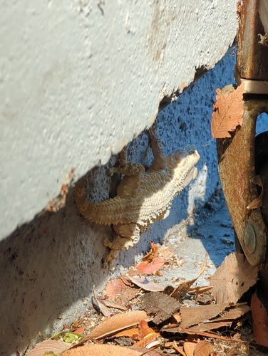
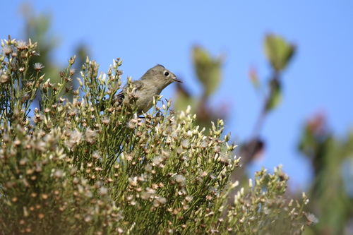
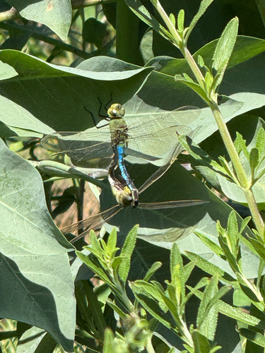
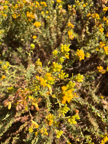
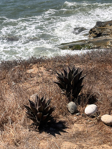
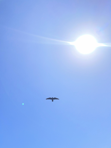
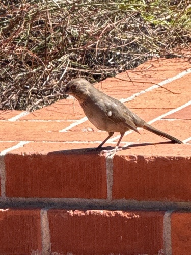
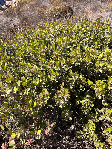
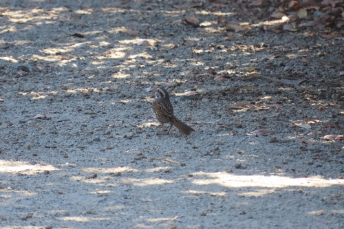
Research-grade observations from iNaturalist (within ~15 mi).
Nearest stream gauge
Events
Gallery
Sources
- • Wikipedia
- • US Census Bureau (ACS 5-year estimates)
- • NOAA National Weather Service
- • Wikidata
- • NCES via Urban Institute Education Data Portal
- • iNaturalist
- • CDC PLACES
- • Open-Meteo / sunrise-sunset.org
- • Wikipedia Pageviews API
- • Open Library
- • NASA EONET