Browse / Canada / British Columbia / Cranbrook
Cranbrook
British Columbiacity

Cranbrook
Total population
20,499
Demographic figures from Statistics Canada. Overview below cites Wikipedia and may reference a different year.
City facts
Overview
Cranbrook is a city in southeast British Columbia, Canada, located approximately 10 km (6.2 mi) southwest of the confluence of the Kootenay River and the St. Mary's River. It is the largest urban centre in the region known as the East Kootenay. As of 2021, Cranbrook's population is 20,499 with a census agglomeration population of 27,040. It is the location of the headquarters of the Regional District of East Kootenay and also the location of the regional headquarters of various provincial ministries and agencies, notably the Rocky Mountain Forest District.
Read more on WikipediaHistory & geography
History
Originally inhabited by Ktunaxa peoples, the land that Cranbrook now occupies was bought by European settlers, notably Colonel James Baker who named his newly acquired land Cranbrook after his home in Cranbrook, Kent, England. In 1890, the Kootenay Indian Residential School, also called St. Eugene's, opened in Cranbrook, and operated until 1975. In 1898, Baker had successfully convinced Canadian Pacific Railway to establish their Crowsnest Pass line through Cranbrook rather than nearby Gold Rush Boom Town Fort Steele. With that accomplishment Cranbrook became the major centre of the region, while Fort Steele declined; however, the latter is today a preserved heritage town. On November 1, 1905, Cranbrook was incorporated as a city. Some of the major industries include mining and forestry services, trades, and health care.
Geography
While much of the city is relatively flat, Cranbrook is surrounded by many rising hills where many residential homes are located. Cranbrook faces the Purcell Mountains to the west and the Rocky Mountains to the north and east. There are many lakes in close proximity to Cranbrook. Some of these lakes include Jim Smith Lake, Wasa Lake, Lazy Lake, Moyie Lake, Monroe Lake, Norbury Lake and Elizabeth Lake. Many of these lakes contain opportunities for boating, fishing and camping. There are public recreational beaches and provincial campgrounds.
Excerpted from the corresponding Wikipedia article (CC BY-SA).
Geography
Coordinates & boundaries from the US Census TIGER/Line shapefiles.
Climate
Air quality
Walkability
Amenities nearby
Wildlife & biodiversity
Earthquake history
Photos
Sights & places nearby
Notable people from here


People born within ~10 km, from Wikidata (CC0). Click any name for their Wikipedia article.
Nearby places in British Columbia
Geography & sun
Elevation, sunrise/sunset and daylight from Open-Meteo. Solar climatology from NASA POWER.
Nearby airports
Public attention
Pageview totals from the Wikimedia Pageviews API.
Books about Cranbrook

Search results from Open Library.
Recent natural events nearby
- Wildfire Parker Lake, Boundary, IdahoWildfires · 2026-08-23 · 59 mi
- Wildfire Silver, Boundary, IdahoWildfires · 2026-08-23 · 73 mi
- Wildfire Skillet, Lincoln, MontanaWildfires · 2026-07-29 · 81 mi
- Wildfire Deer Creek, Lincoln, MontanaWildfires · 2026-08-20 · 98 mi
- Wildfire Dudley, Shoshone, IdahoWildfires · 2026-08-26 · 136 mi
- Wildfire FAIRVIEW, Spokane, WashingtonWildfires · 2026-08-01 · 142 mi
- Wildfire AUTUMN LANE, Spokane, WashingtonWildfires · 2026-08-01 · 145 mi
- Wildfire HUDSPETH, Stevens, WashingtonWildfires · 2026-08-01 · 147 mi
Wildfires, storms and other events from NASA EONET (last 12 months, within 250 mi).
Ground air-quality sensors
Recently spotted species
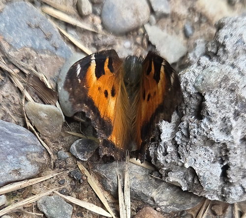
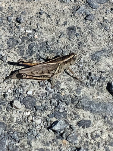
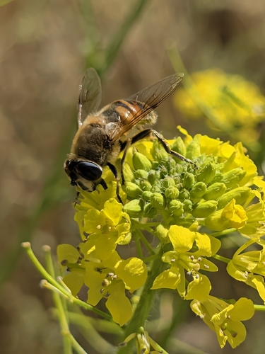
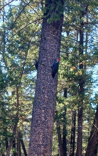
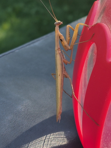
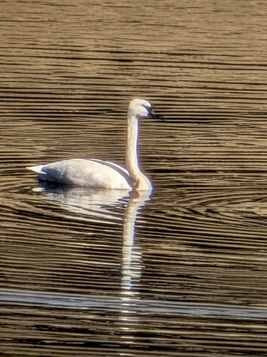
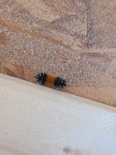
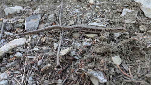
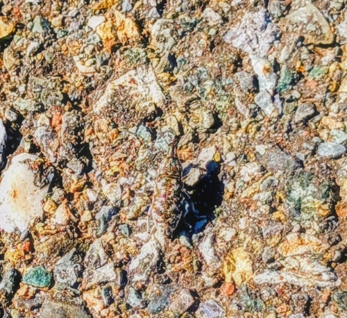
Research-grade observations from iNaturalist (within ~15 mi).
Events
Gallery
Official Identifiers
StatCan — Statistics Canada
- SGC code
- 5901022
- Wikidata
- Q1138837
Standard Geographical Classification (SGC) via Wikidata P3012
Sources
- • Wikipedia
- • Wikidata
- • iNaturalist
- • Open-Meteo / sunrise-sunset.org
- • Wikipedia Pageviews API
- • Open Library
- • NASA EONET
- • StatCan — Statistics Canada — Standard Geographical Classification (SGC) via Wikidata P3012