Browse / Canada / Ontario / Creemore
Creemore
Ontariovillage

Creemore
Total population
1,100
Demographic figures from Statistics Canada. Overview below cites Wikipedia and may reference a different year.
City facts
Facts from Wikidata (CC0).
Overview
Creemore is a former village, now part of Clearview Township, located in Simcoe County, Ontario, Canada. It lies approximately 130 km (81 mi) north of Toronto, 40 minutes west of Barrie, and 20 minutes south of Collingwood and Georgian Bay. It sits on the eastern boundary of the Niagara Escarpment.
Read more on WikipediaHistory & geography
History
French explorer Samuel de Champlain first visited the Creemore area in 1616 to promote trade with the Petun, a First Nations tribe. He was the first to write a description of the area: “The country is full of hill-slopes and little level stretches, which make it a pleasant country.’ Before explorers arrived in the early 17th century, indigenous people lived in the general area of Creemore. Some of these native tribes included: Petun, Wyandot (Wendat), Iroquois, and Algonquin. Soon, early white explorers arrived to trade with these native tribes. Along with the arrival of the explorers, English civilization was soon imported into the area that we now know as Creemore. The settlement of Creemore began in 1842, and by the turn of the century it was a thriving village of about 800 people with a vibrant business community. Creemore's name and town origins have strong Irish roots – the name is derived from the Irish “croí mór,” which means “big heart” and it was the village's founder, Irish entrepreneur Edward Webster who coined the name in the year 1845. He paid tribute to his family by naming the original streets after them: Elizabeth (for his wife and daughter), Francis and Wellington (for his sons), and Alice and William (for his parents). In 1993, the amalgamation of Sunnidale, Nottawasaga, Village of Creemore and the Town of Stayner took place and it became Clearview Township.
Excerpted from the corresponding Wikipedia article (CC BY-SA).
Geography
Coordinates & boundaries from the US Census TIGER/Line shapefiles.
Climate
Air quality
Walkability
Amenities nearby
Wildlife & biodiversity
Earthquake history
Photos
Sights & places nearby
Notable people from here

People born within ~10 km, from Wikidata (CC0). Click any name for their Wikipedia article.
Nearby places in Ontario
Geography & sun
Elevation, sunrise/sunset and daylight from Open-Meteo. Solar climatology from NASA POWER.
Nearby airports
Public attention
Pageview totals from the Wikimedia Pageviews API.
Books about Creemore
Search results from Open Library.
Recent natural events nearby
Ground air-quality sensors
Recently spotted species
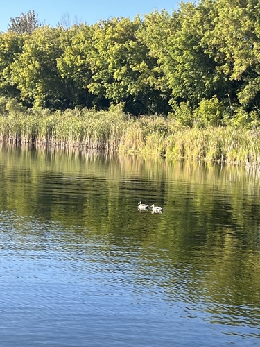
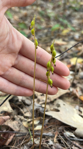
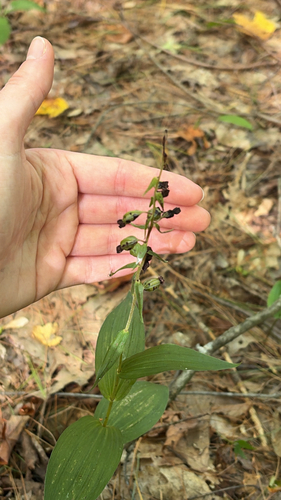
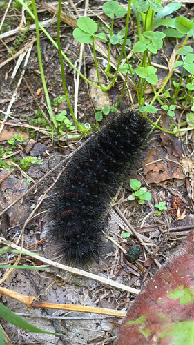
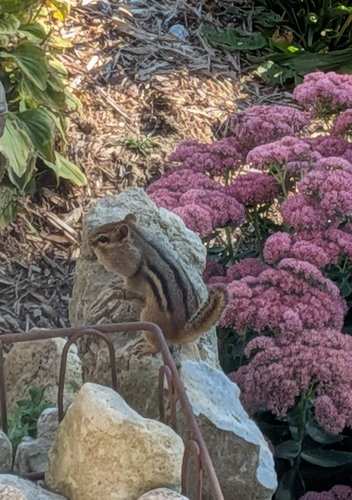
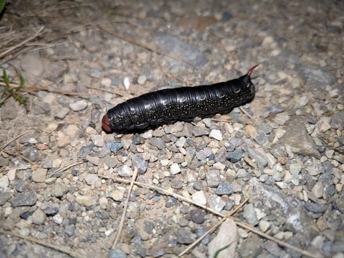
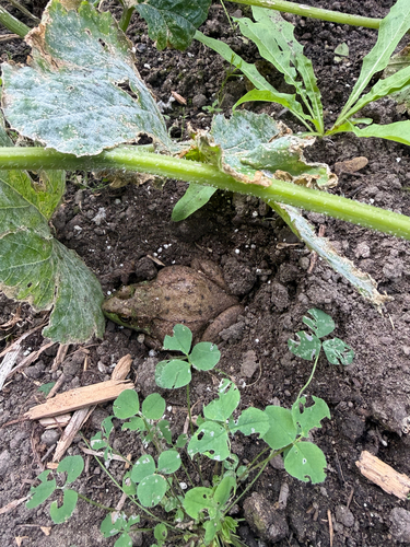
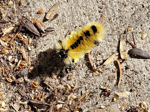
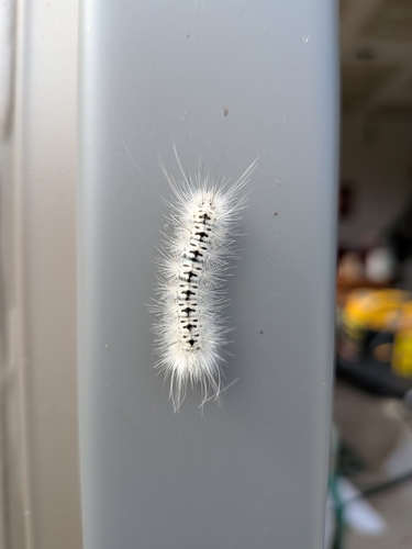
Research-grade observations from iNaturalist (within ~15 mi).
Events
Gallery
Sources
- • Wikipedia
- • Wikidata
- • iNaturalist
- • Open-Meteo / sunrise-sunset.org
- • Wikipedia Pageviews API
- • Open Library