Browse / United States / California / Cressey
Cressey
CaliforniaCDP
Total population
386
Median home value
$225,000
Bachelor's+
Median income
$90,333
Air quality index
Demographic figures from US Census Bureau · ACS 5-year estimates. Overview below cites Wikipedia and may reference a different year.
- Heat Advisory · ModerateHeat Advisory issued October 1 at 9:30AM PDT until October 4 at 10:00PM PDT by NWS Hanford CA
Source: NOAA National Weather Service.
City facts
Facts from Wikidata (CC0).
Overview
Cressey is a census-designated place in Merced County, California. It is located 6 miles (9.7 km) north-northwest of Atwater, at an elevation of 167 feet. The population was 366 at the 2020 United States census, down from 393 in 2010.
Read more on WikipediaHistory & geography
History
The Cressy post office opened in 1882, closed in 1883, re-opened in 1909, and changed its name to Cressey in 1912. The town was named by the Atchison, Topeka and Santa Fe Railway for Calvin J. Cressey, local landowner. Cressey is patrolled by the Merced County Sheriffs Office. Cressey has one elementary school (Ballico-Cressey School District, K-2).
Geography
According to the United States Census Bureau, the CDP covers an area of 1.8 square miles (4.6 km), all of it land. To the north of Cressey, beyond the Merced River, it is considered Ballico. To the south of Cressey, Palm Avenue and beyond, it is considered Winton. To the west of Cressey, over the Santa Fe Rail Road and beyond, it is considered Livingston. To the east of Cressey, off of Cressey Way onto Meadow Drive and beyond, it is considered Winton as well.
Excerpted from the corresponding Wikipedia article (CC BY-SA).
Demographics & economy
Race & ethnicity
Source: US Census Bureau — American Community Survey, 5-year estimates.
Geography
Coordinates & boundaries from the US Census TIGER/Line shapefiles.
Climate
10-year averages from ERA5 reanalysis (Open-Meteo).
Current forecast
Forecast for Cressey, CA from NOAA NWS API.
Air quality
Current readings from Open-Meteo Air Quality API (Copernicus CAMS European reanalysis).
Industrial & pollution facilities
Natural hazard risk
Health (adults)
Age-adjusted prevalence estimates from CDC PLACES (latest release).
Walkability
Amenities nearby
Wildlife & biodiversity
Most-observed species
- California/Woodhouse's Scrub-JayAphelocoma californica (Vigors, 1839) · Aves1,887
- Mourning DoveZenaida macroura (Linnaeus, 1758) · Aves1,715
- House FinchHaemorhous mexicanus (P.L.Statius Müller, 1776) · Aves1,651
- Northern MockingbirdMimus polyglottos (Linnaeus, 1758) · Aves1,547
- Black PhoebeSayornis nigricans (Swainson, 1827) · Aves1,440
- White-crowned SparrowZonotrichia leucophrys (J.R.Forster, 1772) · Aves1,396
- Yellow-rumped WarblerSetophaga coronata (Linnaeus, 1766) · Aves1,307
- Anna's HummingbirdCalypte anna (R.Lesson, 1829) · Aves1,254
Citizen-science & research observations from the Global Biodiversity Information Facility (GBIF).
Schools
Largest nearby schools
- Atwater HighHigh · Atwater · 2,095 students · 21.8:1 ratio
- Buhach Colony HighHigh · Atwater · 1,746 students · 20.8:1 ratio
- Livingston HighHigh · Livingston · 1,156 students · 19.9:1 ratio
- McSwain ElementaryElementary · Merced · 883 students · 22.1:1 ratio
- Livingston MiddleMiddle · Livingston · 833 students · 23.8:1 ratio
- Mitchell IntermediateMiddle · Atwater · 739 students · 23.1:1 ratio
- Delhi HighHigh · Delhi · 732 students · 21.5:1 ratio
- Peggy Heller ElementaryElementary · Atwater · 707 students · 22.8:1 ratio
Public K–12 schools within ~10 mi from Urban Institute Education Data Portal (NCES Common Core of Data, 2022).
Earthquake history
Most recent
- M 2.92 — 2026-07-3111 km ESE of Gilroy, CA
- M 2.76 — 2026-07-3010 km ESE of Gilroy, CA
- M 2.96 — 2026-07-2712 km ESE of Gilroy, CA
- M 2.73 — 2026-07-1411 km ESE of Gilroy, CA
- M 2.95 — 2026-07-0511 km ESE of Gilroy, CA
- M 2.57 — 2026-06-235 km SW of Ridgemark, CA
Events from the USGS Earthquake Catalog (global) (FDSN Event Web Service).
Photos
Sights & places nearby
Notable people from here


People born within ~10 km, from Wikidata (CC0). Click any name for their Wikipedia article.
Nearby places in California
- McSwain8.3 mi away
- Hickman14.7 mi away
- Keyes16.9 mi away
- Monterey Park Tract20.8 mi away
- Gustine22 mi away · pop. 6,133
- Lake Don Pedro22.1 mi away
- Bystrom22.5 mi away
- Los Banos26.7 mi away · pop. 45,532
- Knights Ferry27.7 mi away
- Del Rio29.6 mi away · pop. 1,508
- Dos Palos30.1 mi away · pop. 5,765
- Grayson30.4 mi away
Geography & sun
Elevation, sunrise/sunset and daylight from Open-Meteo. Solar climatology from NASA POWER.
Nearby airports
Public attention
Pageview totals from the Wikimedia Pageviews API.
Books about Cressey
Search results from Open Library.
Recent natural events nearby
- Wildfire GANN, Calaveras, CaliforniaWildfires · 2026-08-03 · 48 mi
- Wildfire DOME, Mariposa, CaliforniaWildfires · 2026-09-15 · 58 mi
- Wildfire Timber, Monterey, CaliforniaWildfires · 2026-08-09 · 102 mi
- Prescribed Fire CRAWFORD CORRAL RX, Tulare, CaliforniaWildfires · 2026-09-19 · 109 mi
- Wildfire Plaskett, Monterey, CaliforniaWildfires · 2026-08-26 · 113 mi
- Wildfire FLORISTON, Nevada, CaliforniaWildfires · 2026-09-16 · 141 mi
- Wildfire PLAINS, San Luis Obispo, CaliforniaWildfires · 2026-08-12 · 143 mi
- Wildfire Hawk, Washoe, NevadaWildfires · 2026-08-22 · 151 mi
Wildfires, storms and other events from NASA EONET (last 12 months, within 250 mi).
Ground air-quality sensors
Recently spotted species
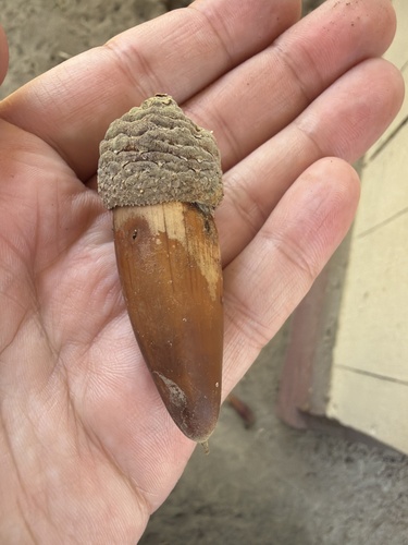
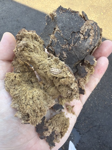
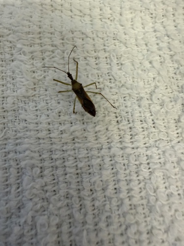
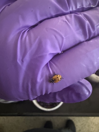
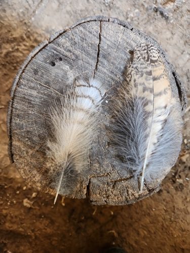
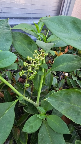
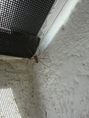
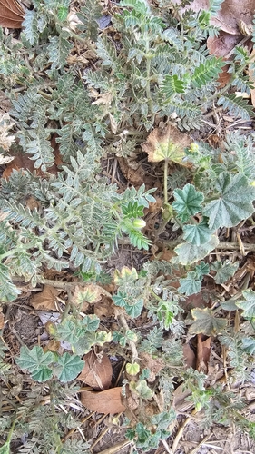
Research-grade observations from iNaturalist (within ~15 mi).
Nearest stream gauge
Live readings from USGS NWIS · measured 2026-08-31 18:30 UTC.
Events
Gallery
Sources
- • Wikipedia
- • US Census Bureau (ACS 5-year estimates)
- • Open-Meteo (ERA5 reanalysis)
- • NOAA National Weather Service
- • Wikidata
- • Open-Meteo Air Quality (CAMS)
- • USGS Earthquake Catalog (global feed)
- • USGS NWIS (water data)
- • NCES via Urban Institute Education Data Portal
- • GBIF (Global Biodiversity Information Facility)
- • iNaturalist
- • CDC PLACES
- • Open-Meteo / sunrise-sunset.org
- • Wikipedia Pageviews API
- • Open Library
- • NASA EONET