Browse / United States / California / Crest
Crest
CaliforniaCDP

Crest
Total population
2,775
Median home value
$724,500
Bachelor's+
Median income
$110,000
Demographic figures from US Census Bureau · ACS 5-year estimates. Overview below cites Wikipedia and may reference a different year.
City facts
Facts from Wikidata (CC0).
Overview
Crest is an unincorporated community and census-designated place (CDP) in the East County region of San Diego County, California. The community developed during the 1920s as a cabin subdivision known as Suncrest and was heavily affected by the Laguna Fire of 1970 and the Cedar Fire of 2003. The CDP had a population of 2,828 at the 2020 census, up from 2,593 at the 2010 census.
Read more on WikipediaHistory & geography
History
Crest developed during the 1920s as a planned cabin subdivision known as Suncrest. Before World War II, the San Diego Sun promoted small lots in the area for use as summer cabins, and some purchasers subsequently became permanent residents. The community historically consisted of two distinct areas, Suncrest and La Cresta, which were eventually united under the name Crest. Crest has been heavily affected by two major wildfires. The Laguna Fire of 1970 destroyed 117 homes in the community. Thirty-three years later, the Cedar Fire of 2003 destroyed 290 homes in Crest.
Geography
Crest is located on a hill east of El Cajon. The CDP has a total area of , all land.
Excerpted from the corresponding Wikipedia article (CC BY-SA).
Demographics & economy
Race & ethnicity
Source: US Census Bureau — American Community Survey, 5-year estimates.
Geography
Coordinates & boundaries from the US Census TIGER/Line shapefiles.
Climate
Air quality
Industrial & pollution facilities
Natural hazard risk
Health (adults)
Age-adjusted prevalence estimates from CDC PLACES (latest release).
Walkability
Amenities nearby
Wildlife & biodiversity
Most-observed species
- House FinchHaemorhous mexicanus (P.L.Statius Müller, 1776) · Aves35,129
- Anna's HummingbirdCalypte anna (R.Lesson, 1829) · Aves32,045
- Mourning DoveZenaida macroura (Linnaeus, 1758) · Aves31,015
- American CrowCorvus brachyrhynchos C.L.Brehm, 1822 · Aves30,396
- Lesser GoldfinchSpinus psaltria (Say, 1822) · Aves28,806
- California TowheeMelozone crissalis (Vigors, 1839) · Aves28,518
- Black PhoebeSayornis nigricans (Swainson, 1827) · Aves26,938
- Song SparrowMelospiza melodia (A.Wilson, 1810) · Aves22,061
Citizen-science & research observations from the Global Biodiversity Information Facility (GBIF).
Schools
Earthquake history
Most recent
- M 3.08 — 2026-10-0120 km ESE of Anza, CA
- M 2.63 — 2026-09-239 km WNW of Anza, CA
- M 2.91 — 2026-08-3122 km SSW of La Quinta, CA
- M 3.06 — 2026-08-2512 km WSW of Salton City, CA
- M 3.64 — 2026-08-1914 km N of Warner Springs, CA
- M 2.63 — 2026-08-1328 km SSW of Ocotillo Wells, CA
Events from the USGS Earthquake Catalog (global) (FDSN Event Web Service).
Photos
Sights & places nearby
Notable people from here
Geography & sun
Elevation, sunrise/sunset and daylight from Open-Meteo. Solar climatology from NASA POWER.
Nearby airports
Public attention
Pageview totals from the Wikimedia Pageviews API.
Books about Crest




Search results from Open Library.
Recent natural events nearby
- Wildfire RIDGE, Los Angeles, CaliforniaWildfires · 2026-08-07 · 178 mi
- Wildfire BUZZARD, Kern, CaliforniaWildfires · 2026-08-05 · 187 mi
Wildfires, storms and other events from NASA EONET (last 12 months, within 250 mi).
Ground air-quality sensors
Recently spotted species
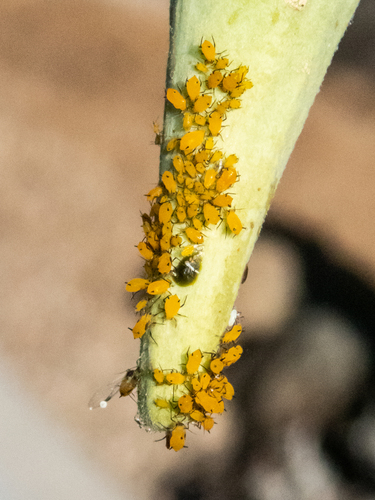
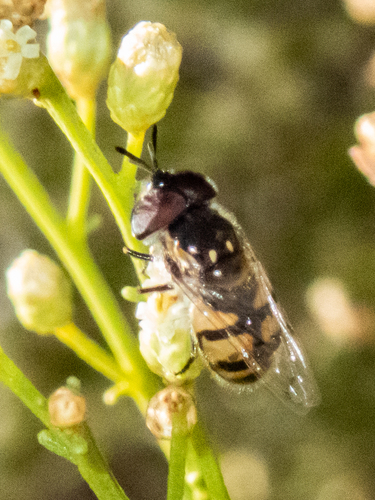
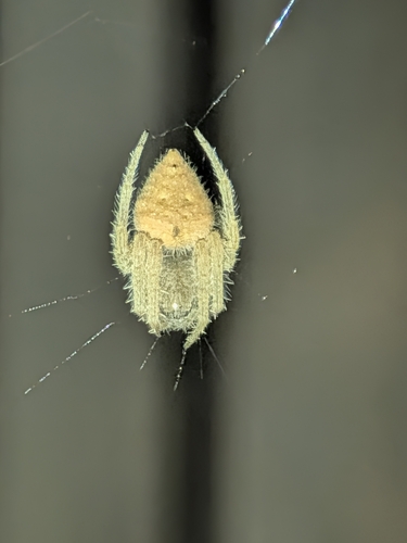
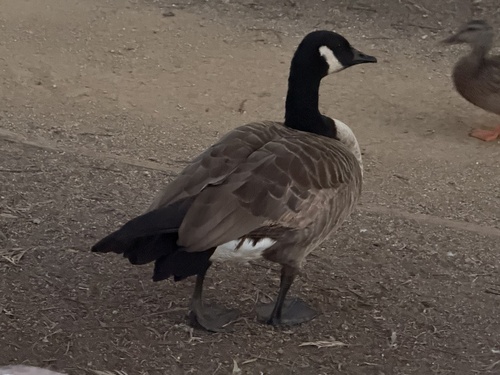
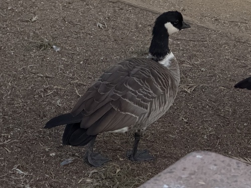
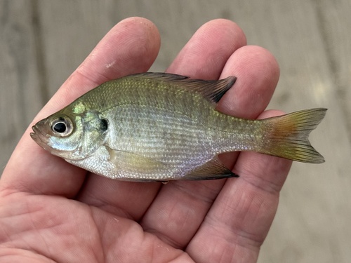
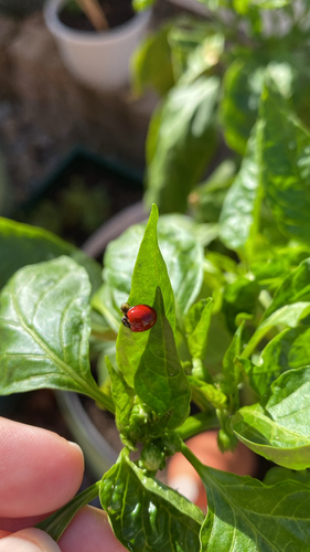
Research-grade observations from iNaturalist (within ~15 mi).
Nearest stream gauge
Events
Gallery
Sources
- • Wikipedia
- • US Census Bureau (ACS 5-year estimates)
- • Wikidata
- • USGS Earthquake Catalog (global feed)
- • GBIF (Global Biodiversity Information Facility)
- • iNaturalist
- • CDC PLACES
- • Open-Meteo / sunrise-sunset.org
- • Wikipedia Pageviews API
- • Open Library
- • NASA EONET