Browse / Canada / Saskatchewan / Cudworth
Cudworth
Saskatchewantown

Cudworth
Demographic figures from Statistics Canada. Overview below cites Wikipedia and may reference a different year.
City facts
Facts from Wikidata (CC0).
Overview
Cudworth is a town in Saskatchewan, Canada. Cudworth is located approximately 85 km north-east of Saskatoon, Saskatchewan in the Minnichinas Hills. Cudworth is in hilly partially forested country east of the South Saskatchewan River. The area is part of the aspen parkland biome.
Read more on WikipediaHistory & geography
History
The town was originally peopled primarily by settlers of Eastern European origin including Germany, Hungary, Poland and Ukraine. In September 2008, Cudworth's grain elevator went up in flames. Cudworth was one of three Saskatchewan towns that still had an original Saskatchewan Wheat Pool elevator and a Canadian National Railway (CN) train station. Located two miles west of Cudworth is the historic Our Lady of Sorrows Shrine. The site consists of an altar, chapel, statue and Stations of the Cross on a hill west of Highway 2. The shrine was established after three children saw a beautiful sad lady dragging chains and carrying a golden cross – when they approached her, she vanished. There is an annual pilgrimage on the tenth Sunday after Easter. It is an official pilgrimage of the Saskatoon Ukrainian Catholic Eparchy. The Cudworth Heritage Museum (former CN Station) (c. 1925) is a Municipal Heritage Property on the Canadian Register of Historic Places.
Excerpted from the corresponding Wikipedia article (CC BY-SA).
Geography
Coordinates & boundaries from the US Census TIGER/Line shapefiles.
Climate
Air quality
Walkability
Amenities nearby
Wildlife & biodiversity
Earthquake history
Photos
Sights & places nearby
Notable people from here

People born within ~10 km, from Wikidata (CC0). Click any name for their Wikipedia article.
Nearby places in Saskatchewan
- Sturgeon Lake64.1 mi away
- Big River94 mi away · pop. 1,140
- Kamienna Wola4612 mi away · pop. 330
- Bernów4612.5 mi away · pop. 160
- Maleniec4614.2 mi away · pop. 150
- Wyszyna Machorowska4615.7 mi away · pop. 110
- Gracuch4615.8 mi away · pop. 190
- Komaszyce4616.9 mi away · pop. 180
- Ruda Maleniecka4617.6 mi away · pop. 610
- Hucisko4618.8 mi away · pop. 160
- Drutarnia4619.5 mi away
- Stara Kuźnica4620.1 mi away · pop. 140
Geography & sun
Elevation, sunrise/sunset and daylight from Open-Meteo. Solar climatology from NASA POWER.
Nearby airports
Public attention
Pageview totals from the Wikimedia Pageviews API.
Books about Cudworth
Search results from Open Library.
Recent natural events nearby
Ground air-quality sensors
Recently spotted species
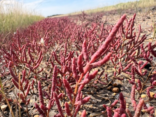
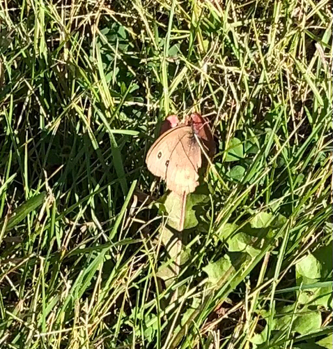
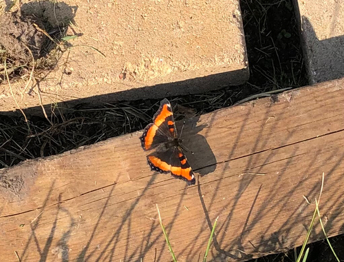
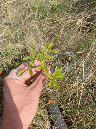
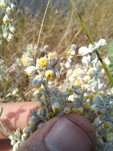

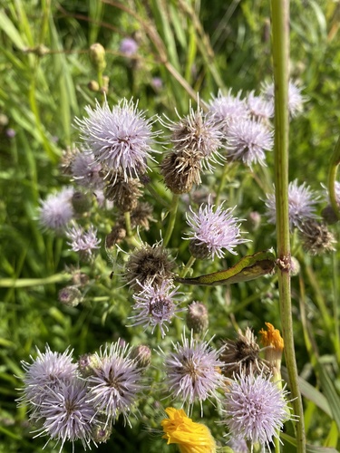

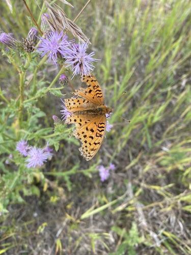
Research-grade observations from iNaturalist (within ~15 mi).
Events
Gallery
Official Identifiers
StatCan — Statistics Canada
- SGC code
- 4715041
- Wikidata
- Q1381553
Standard Geographical Classification (SGC) via Wikidata P3012
Sources
- • Wikipedia
- • Wikidata
- • iNaturalist
- • Open-Meteo / sunrise-sunset.org
- • Wikipedia Pageviews API
- • Open Library
- • StatCan — Statistics Canada — Standard Geographical Classification (SGC) via Wikidata P3012