Browse / Canada / New Brunswick / Damascus
Damascus
New Brunswickvillage
Demographic figures from Statistics Canada. Overview below cites Wikipedia and may reference a different year.
City facts
Facts from Wikidata (CC0).
Overview
Damascus, a village in New Brunswick, Canada, forms part of the country's settled landscape. Up-to-date population figures for this locality are not available in the open datasets we monitor. The settlement sits at 45.444°, -65.820°, a temperate location in the northern hemisphere. Its latitude implies a climate characterised by four distinct seasons with warm summers and cold winters. Solar-resource estimates put the area at about 1,275 kWh/m² of solar irradiance per year with sunshine for roughly 50% of daylight hours. The remainder of this page draws on open public data to describe the area's demographics, climate, environment and nearby amenities.
Summary composed automatically from structured open data on this page. See our Terms for details.
History & geography
History
Carbon-14 dating at Tell Ramad, on Damascus's outskirts, suggests that the site may have been occupied since the second half of the seventh millennium BC, possibly around 6300 BC. But evidence of settlement in the wider Barada basin dating to 9000 BC exists, although no large-scale settlement was present within Damascus's walls until the second millennium BC. In the early 18th dynasty, during the reign of Thutmose III of Egypt he mentions Damascus. The name of Damascus appeared in his geographical listas ( and During the late 18th dynasty, the Amarna letters (c. 1350 BC) mentions Damascus (Dimasqu) as ruled by Biryawaza. During the 19th dynasty (c. 1260 BC), the Damascus region and the rest of Syria became a battleground between the Hittites from the north and the Egyptians from the south, ending with a signed treaty between Hattusili III and Ramesses II. The former handed over control of the Damascus area to the latter in 1259 BC. Damascus was only a peripheral part of this picture, which mostly affected the larger population centers of ancient Syria. But these events contributed to Damascus's emergence as an influential center during the transition from the Bronze Age to the Iron Age. According to the 1st-century Jewish historian Flavius Josephus's Antiquities of the Jews, Damascus (along with Trachonitis) was founded by Uz, the son of Aram. In Antiquities i. 7, Josephus reports: Damascus is first documented as an important city during the arrival of the Aramaeans, a Semitic people, in the 11th century BC. By the start of the first millennium BC, several Aramaic kingdoms formed, as Aramaeans abandoned their nomadic lifestyle and formed federated tribal states. One of these was Aram-Damascus, centered on its capital, Damascus. The Aramaeans who entered the city…
Geography
Damascus was built in a strategic site on a plateau above sea level and about inland from the Mediterranean, sheltered by the Anti-Lebanon Mountains, supplied with water by the Barada River, and at a crossroads between trade routes: the north–south route connecting Egypt with Asia Minor, and the east–west cross-desert route connecting Lebanon with the Euphrates river valley. The Anti-Lebanon Mountains mark the border between Syria and Lebanon. The range has peaks of over and blocks precipitation from the Mediterranean Sea, so the region of Damascus is sometimes subject to droughts. However, in ancient times, the Barada River, which originates from mountain streams fed by melting snow, mitigated this. Damascus is surrounded by the Ghouta, irrigated farmland where vegetables, cereals, and fruits have been farmed since ancient times. Maps of Roman Syria indicate that the Barada River emptied into a lake of some size east of Damascus. Today it is called Bahira Atayba, the hesitant lake, because in years of severe drought, it dries up. The old city of Damascus, enclosed by the city walls, lies on the south bank of the river Barada which is almost dry ( left). To the southeast, north, and northeast it is surrounded by suburban areas whose history stretches back to the Middle Ages: Midan in the southwest, Sarouja and Imara in the north and north-west. These neighborhoods originally arose on roads leading out of the city, near the tombs of religious figures. In the 19th century outlying villages developed on the slopes of Jabal Qasioun, overlooking the city, already the site of the al-Salihiyah neighborhood centered on the important shrine of medieval Andalusian Sheikh and philosopher Ibn Arabi. These neighborhoods were initially settled by Kurdish soldiers and Muslim…
Excerpted from the corresponding Wikipedia article (CC BY-SA).
Geography
Coordinates & boundaries from the US Census TIGER/Line shapefiles.
Climate
Air quality
Walkability
Amenities nearby
Wildlife & biodiversity
Earthquake history
Photos
Sights & places nearby
Notable people from here


People born within ~10 km, from Wikidata (CC0). Click any name for their Wikipedia article.
Nearby places in New Brunswick
Geography & sun
Elevation, sunrise/sunset and daylight from Open-Meteo. Solar climatology from NASA POWER.
Nearby airports
Public attention
Pageview totals from the Wikimedia Pageviews API.
Books about Damascus
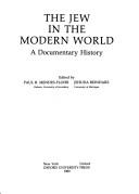
Search results from Open Library.
Recent natural events nearby
Ground air-quality sensors
Recently spotted species
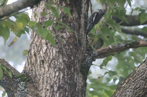
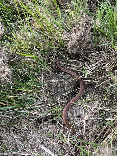
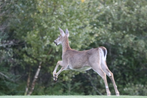
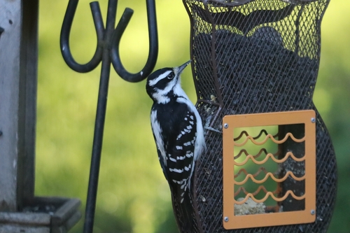
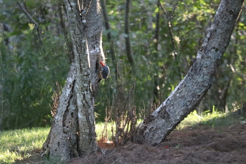
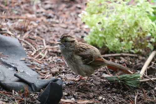
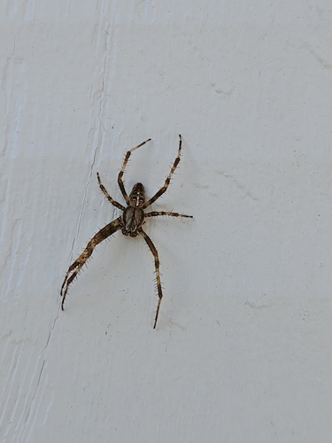
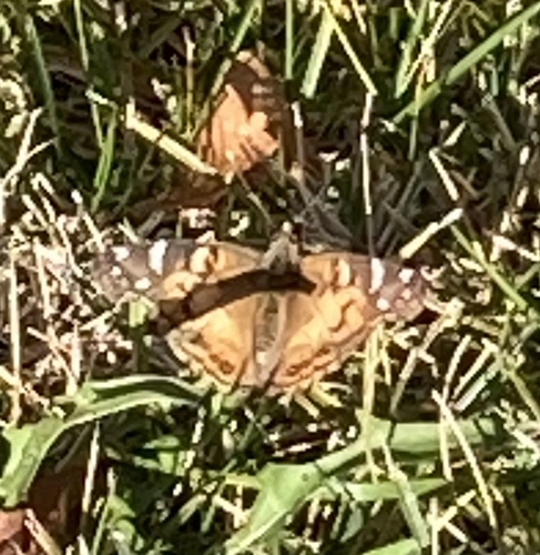
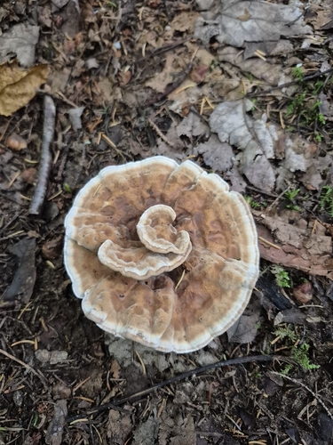
Research-grade observations from iNaturalist (within ~15 mi).
Events
Gallery
Sources
- • Wikipedia
- • Wikidata
- • iNaturalist
- • Open-Meteo / sunrise-sunset.org
- • Wikipedia Pageviews API
- • Open Library