Browse / United States / California / Danville
Danville
Californiatown

Danville
Total population
43,401
Median home value
$1,681,700
Bachelor's+
Median income
$232,216
Founded
1982
Air quality index
Demographic figures from US Census Bureau · ACS 5-year estimates. Overview below cites Wikipedia and may reference a different year.
- Heat Advisory · ModerateHeat Advisory issued October 1 at 9:43AM PDT until October 4 at 10:00PM PDT by NWS San Francisco CA
Source: NOAA National Weather Service.
City facts
Facts from Wikidata (CC0).
Overview
Danville is located in the San Ramon Valley in Contra Costa County, California, United States. It is one of the incorporated municipalities in California that use "town" in their names instead of "city". The population was 43,582 at the 2020 census.
Read more on WikipediaHistory & geography
History
Often referred to as the "Heart of the San Ramon Valley", Danville was first populated by Native Americans who lived near creeks and camped on Mount Diablo in the summer. Later, it was part of Mission San José's grazing land as well as a Mexican land grant called Rancho San Ramon. Initially a farming community, the Town of Danville switched from wheat to fruits and nuts after the Southern Pacific Railroad built a spur line through the area in 1891. It developed as a residential suburb in 1947 when the first sizable housing tracts were constructed and its population boomed in the 1970s and 1980s. The Danville Post Office opened in 1860 with hotel owner Henry W. Harris as the first postmaster. Churches, schools, farmers unions and fraternal lodges began as the community grew. The Union Academy, a private high school begun by the Cumberland Presbyterian Church, served the county from 1859 to 1868, until it burned down. Danville Presbyterian Church was dedicated in 1875. Many early Danville buildings remain standing today. The original 1874 Grange Hall exists as well, and the original Danville Hotel remains downtown which was last renovated in 2016. Many of the early pioneer names appear on the streets and schools, including Baldwin, Harlan, Wood, Love, Hemme, Boone, Bettencourt and Meese. The twentieth century found Danville affected by the wars, the Spanish flu, the depression, and new immigrants. In 1910, a public high school district was organized and San Ramon Valley Union High School was built. A library opened in 1913 with 104 books. St. Isidore's Catholic Church was first established in 1910. An Improvement League funded the first streetlights and paved roads in 1915. Danville continued as farm country into the 1940s. The Valley had a population of 2,120…
Geography
Danville is set in a narrow section of the San Ramon Valley with the Las Trampas Ridge to the west and the Diablo Range to the east. The most prominent landmark of Danville is the backdrop of Mount Diablo, which stands to the east at and provides a picturesque backdrop for Danville and neighboring towns and cities. Sycamore Creek drains some of the Mount Diablo slopes and flows through Danville. To the north of Danville, the unincorporated town of Alamo sits in the uppermost reaches of the San Ramon Valley and extends into the surrounding hills. San Ramon, another affluent suburb, borders Danville to the south. Interstate 680, extending along the valley to the north and south, is the main route used by traffic in and out of town. Camino Tassajara is the main thoroughfare for east–west travel, most importantly to reach the eastern subdivisions far from the interstate. Camino Tassajara also provides access to the wealthy gated community of Blackhawk. According to the United States Census Bureau, the town has a total area of , all land. }}
Excerpted from the corresponding Wikipedia article (CC BY-SA).
Demographics & economy
Race & ethnicity
Source: US Census Bureau — American Community Survey, 5-year estimates.
Geography
Coordinates & boundaries from the US Census TIGER/Line shapefiles.
Climate
Current forecast
Forecast for Danville, CA from NOAA NWS API.
Air quality
Current readings from Open-Meteo Air Quality API (Copernicus CAMS European reanalysis).
Industrial & pollution facilities
Natural hazard risk
Health (adults)
Age-adjusted prevalence estimates from CDC PLACES (latest release).
Walkability
Amenities nearby
Wildlife & biodiversity
Most-observed species
- Anna's HummingbirdCalypte anna (R.Lesson, 1829) · Aves31,966
- House FinchHaemorhous mexicanus (P.L.Statius Müller, 1776) · Aves28,747
- California/Woodhouse's Scrub-JayAphelocoma californica (Vigors, 1839) · Aves28,722
- Oak TitmouseBaeolophus inornatus (Gambel, 1845) · Aves25,772
- California TowheeMelozone crissalis (Vigors, 1839) · Aves24,452
- Lesser GoldfinchSpinus psaltria (Say, 1822) · Aves24,317
- American CrowCorvus brachyrhynchos C.L.Brehm, 1822 · Aves24,158
- Dark-eyed JuncoJunco hyemalis (Linnaeus, 1758) · Aves23,654
Citizen-science & research observations from the Global Biodiversity Information Facility (GBIF).
Schools
Earthquake history
Most recent
- M 3.6 — 2026-06-073 km SW of Alamo, CA
- M 2.65 — 2026-06-047 km E of Fremont, CA
- M 2.72 — 2026-05-102 km ESE of Pinole, CA
- M 2.52 — 2026-05-0220 km SE of Livermore, CA
- M 2.77 — 2026-04-3014 km N of Morgan Hill, CA
- M 2.62 — 2026-04-2616 km E of Seven Trees, CA
Events from the USGS Earthquake Catalog (global) (FDSN Event Web Service).
Photos
Sights & places nearby
Notable people from here
Nearby places in California
- Norris Canyon4.7 mi away
- Camino Tassajara4.9 mi away
- North Gate6.6 mi away
- Moraga8.7 mi away
- Contra Costa Centre9.1 mi away · pop. 6,893
- Fairview10.1 mi away · pop. 10,745
- Orinda11.9 mi away
- Pacheco13.3 mi away
- Alhambra Valley14 mi away · pop. 979
- Piedmont14.2 mi away
- Port Costa19.9 mi away
- East Richmond Heights20.9 mi away
Geography & sun
Elevation, sunrise/sunset and daylight from Open-Meteo. Solar climatology from NASA POWER.
Nearby airports
Public attention
Pageview totals from the Wikimedia Pageviews API.
Books about Danville
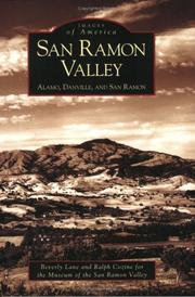
Search results from Open Library.
Recent natural events nearby
- Wildfire GANN, Calaveras, CaliforniaWildfires · 2026-08-03 · 68 mi
- Wildfire FELIZ, Mendocino, CaliforniaWildfires · 2026-08-01 · 104 mi
- Wildfire Timber, Monterey, CaliforniaWildfires · 2026-08-09 · 111 mi
- Wildfire LUCAS, Lake, CaliforniaWildfires · 2026-09-10 · 113 mi
- Wildfire LUCAS, Lake, CaliforniaWildfires · 2026-09-10 · 113 mi
- Wildfire DOME, Mariposa, CaliforniaWildfires · 2026-09-15 · 130 mi
- Wildfire Plaskett, Monterey, CaliforniaWildfires · 2026-08-26 · 135 mi
- Wildfire FLORISTON, Nevada, CaliforniaWildfires · 2026-09-16 · 152 mi
Wildfires, storms and other events from NASA EONET (last 12 months, within 250 mi).
Ground air-quality sensors
Recently spotted species
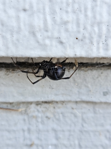
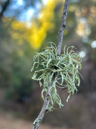
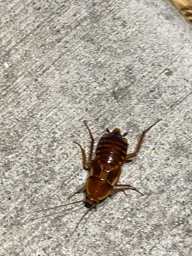
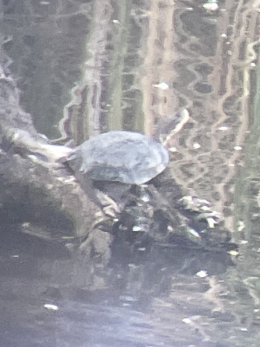
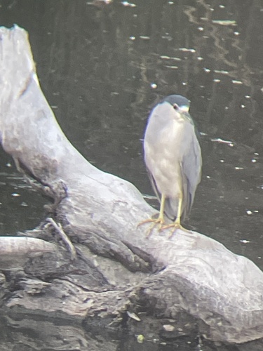
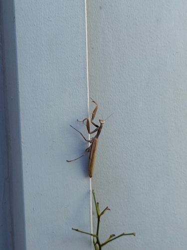
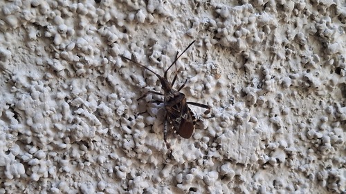
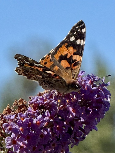
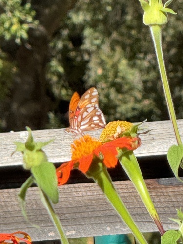
Research-grade observations from iNaturalist (within ~15 mi).
Nearest stream gauge
Events
Gallery
Geotagged photos within ~6 miles of Danville, from Wikimedia Commons contributors.
 0.4 mi
 0.4 mi
 0.4 mi
 1.1 mi
 1.1 mi
 1.1 mi
 1.1 mi
 1.2 mi
 1.2 mi
 1.3 mi
 1.4 mi
 1.4 mi
 1.4 mi
.jpg) 1.4 mi
1.4 mi 1.4 mi
 1.5 mi
 1.5 mi
 1.6 mi
 1.6 mi
 1.6 mi
 1.6 mi
 1.6 mi
 1.6 mi
 1.6 mi
Photos via Wikimedia Commons — see each image page for license & attribution.
Sources
- • Wikipedia
- • US Census Bureau (ACS 5-year estimates)
- • NOAA National Weather Service
- • Wikimedia Commons
- • Wikidata
- • Open-Meteo Air Quality (CAMS)
- • USGS Earthquake Catalog (global feed)
- • GBIF (Global Biodiversity Information Facility)
- • iNaturalist
- • CDC PLACES
- • Open-Meteo / sunrise-sunset.org
- • Wikipedia Pageviews API
- • Open Library
- • NASA EONET