Browse / Canada / New Brunswick / Darlington
Darlington
New Brunswickhamlet
Demographic figures from Statistics Canada. Overview below cites Wikipedia and may reference a different year.
City facts
Sister cities
Facts from Wikidata (CC0).
Overview
Darlington is a hamlet located in New Brunswick, Canada. No reliable population estimate is published for this entry in the open data we rely on. On the world map it falls within the Western Hemisphere, specifically at 48.050°, -66.383°. The location receives about 1,193 kWh/m² of solar irradiance per year and sunshine for roughly 47% of daylight hours. The latitude suggests four distinct seasons with warm summers and cold winters. Open-data panels below dive into population trends, climate normals, environmental indicators and nearby places.
Summary composed automatically from structured open data on this page. See our Terms for details.
History & geography
History
Darlington started as an Anglo-Saxon settlement. The name derives from the Anglo-Saxon Dearthington, which seemingly meant 'the settlement of Deornoth's people' but, by Norman times, the name had changed to Derlinton. During the 17th and 18th centuries, the town was usually known by the name of Darnton. Darlington has a historic market area in the town centre. St Cuthbert's Church, built in 1183, is one of the most important early English churches in the north of England and is Grade I listed. The oldest church in Darlington is St Andrew's Church, built around 1100 in Haughton-le-Skerne. When the author Daniel Defoe visited the town during the 18th century, he noted that it was eminent for "good bleaching of linen, so that I have known cloth brought from Scotland to be bleached here". However, he also disparaged the town, writing that it had "nothing remarkable but dirt"; roads would have typically been unpaved in the 18th century. The so-called Durham Ox came from Darlington; born in the early 19th century, this steer became renowned for its excellent proportions which came to inform the standard for Shorthorn cattle. The Stockton and Darlington Railway ran steam locomotives designed for passengers and goods, built to a standard gauge, on a permanent main line with branches. On 27 September 1825, George Stephenson's engine, Locomotion No. 1, travelled between Shildon and Stockton-on-Tees via Darlington, an event that was seen as ushering in the modern railway age. The population at the time of the 1841 census was 11,008. Later in the 19th century, the town became an important centre for railway manufacturing. An early railway works was the Hopetown Carriage Works (est. 1853), which supplied carriages and locomotives to the Stockton and Darlington Railway. The…
Geography
Darlington is located in the south of County Durham close to the River Tees, which acts as the border between Durham and Yorkshire. Both the River Tees and River Skerne pass through the borough, the Skerne later joining the Tees which then flows east and into the North Sea. Due to river bifurcation at the Baydale Beck and Cocker Beck, which later flow into the Tees and Skerne respectively, much of the western side of Darlington forms a river island. In the north are Harrowgate, Coatham Mundeville and Beaumont Hill and to the north-east are Whinfield and Haughton Le Skerne. To the east is the suburb of Eastbourne and Red Hall with Firthmoor and Skerne Park to the south. Situated in the west end are Hummersknott, Mowden and Blackwell. Finally, to the north-west are Branksome, Cockerton, Faverdale, The Denes, West Park, High Grange and Pierremont which is associated with the notable Henry Pease (MP). {| class="wikitable" !Place!!Distance!!Direction!!Relation |- |Hartlepool||||North East||Combined Authority area |- |Durham||||North||Historic county town and closest city |- |Middlesbrough||||East||Combined Authority area |- |Stockton-on-Tees||||East||Combined Authority area |}
Excerpted from the corresponding Wikipedia article (CC BY-SA).
Geography
Coordinates & boundaries from the US Census TIGER/Line shapefiles.
Climate
Air quality
Walkability
Amenities nearby
Wildlife & biodiversity
Earthquake history
Photos
Sights & places nearby
Notable people from here


People born within ~10 km, from Wikidata (CC0). Click any name for their Wikipedia article.
Nearby places in New Brunswick
- Eel River Bar First Nation1.2 mi away · pop. 757
- Upper Charlo3.7 mi away
- Sea Side13.2 mi away
- Nash Creek16.6 mi away
- Jacquet River20.6 mi away
- Petit-Rocher36 mi away
- Robertville37.3 mi away
- North Tetagouche40.9 mi away
- Oinpegitjoig Mi'kmaq / Première nation de Pabineau48.7 mi away
- Janeville49.9 mi away
- Clifton51 mi away
- Nepisiguit Falls52.2 mi away
Geography & sun
Elevation, sunrise/sunset and daylight from Open-Meteo. Solar climatology from NASA POWER.
Nearby airports
Public attention
Pageview totals from the Wikimedia Pageviews API.
Books about this place
Recent natural events nearby
Ground air-quality sensors
Recently spotted species
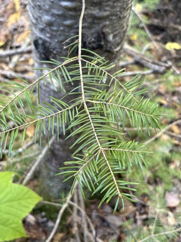
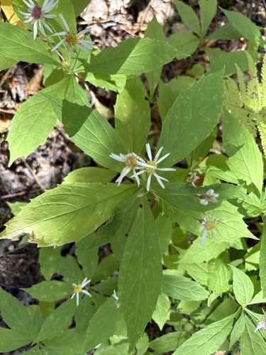
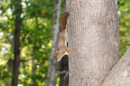
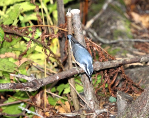
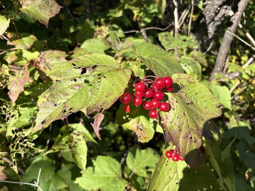
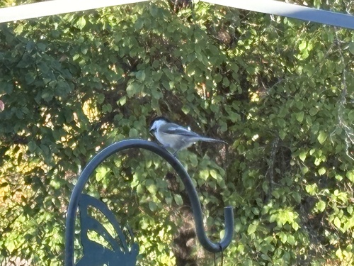
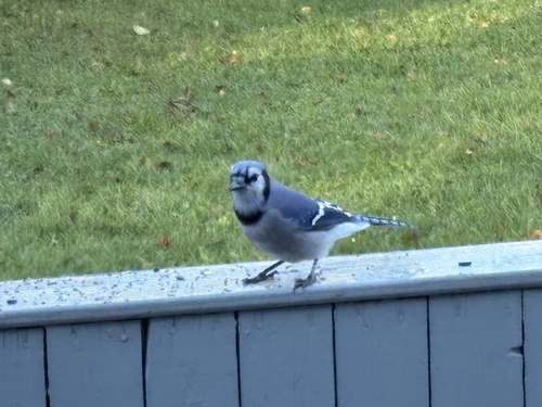
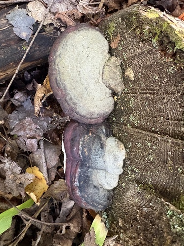
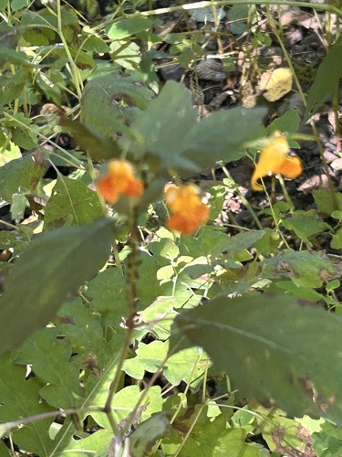
Research-grade observations from iNaturalist (within ~15 mi).
Events
Gallery
Official Identifiers
StatCan — Statistics Canada
- SGC code
- 1102035
- Wikidata
- Q3016395
Standard Geographical Classification (SGC) via Wikidata P3012
Sources
- • Wikipedia
- • Wikidata
- • iNaturalist
- • Open-Meteo / sunrise-sunset.org
- • Wikipedia Pageviews API
- • StatCan — Statistics Canada — Standard Geographical Classification (SGC) via Wikidata P3012