Browse / United States / California / Davis
Davis
Californiacity

Davis
Total population
67,129
Median home value
$901,500
Bachelor's+
Median income
$76,706
Founded
1868
Air quality index
Demographic figures from US Census Bureau · ACS 5-year estimates. Overview below cites Wikipedia and may reference a different year.
- Heat Advisory · ModerateHeat Advisory issued October 1 at 9:34AM PDT until October 5 at 10:00PM PDT by NWS Sacramento CA
Source: NOAA National Weather Service.
City facts
Facts from Wikidata (CC0).
Overview
Davis is the most populous city in Yolo County, California, United States. Located in the Sacramento Valley region of Northern California, the city had a population of 66,850 in 2020, not including the on-campus population of the University of California, Davis, which was over 9,400 in 2016. As of 2023, there were 40,850 students enrolled at the university, which is known as the biking capital of America.
Read more on WikipediaHistory & geography
History
Davis sits on land that was historically inhabited by Indigenous people associated with the Clovis culture. The Patwin, a southern branch of Wintun people, eventually displaced existing Indigenous tribes. The Patwin were subsequently displaced by the American and Mexican government in the 1830s as part of the California genocide. Patwin burial grounds have been found across Davis, including on the site of the UC Davis Mondavi Center. Territory that eventually became Davis emerged from ranchos, Laguna de Santos Callé. Jerome C. Davis, a prominent farmer and one of the early claimants to land in Laguna de Santos Callé, lobbied to the United States Congress to retain the land that eventually became Davis. Davis became a depot on the Southern Pacific Railroad in 1868, when it was named Davisville after Jerome C. Davis. The post office at Davisville shortened the town name to "Davis" in 1907. The name stuck, and the city of Davis was incorporated on March 28, 1917. From its inception as a farming community, Davis is known primarily for its contributions to agricultural science and policy along with veterinary care and animal husbandry. Following the passage of the University Farm Bill in 1905 by the California State Legislature, Governor George Pardee selected Davis out of 50 other sites as the future home to the University of California's University Farm, officially opening to students in 1908. The farm, later renamed the Northern Branch of the College of Agriculture in 1922, was upgraded to become the seventh UC general campus, the University of California, Davis, in 1959.
Geography
Davis is located in Yolo County, west of Sacramento, northeast of San Francisco, north of Los Angeles, at the intersection of Interstate 80 and State Route 113. Neighboring towns include Dixon, Winters, Woodland and West Sacramento. Davis lies in the Sacramento Valley, the northern portion of the Central Valley, in Northern California, at a mean elevation of approximately above sea level. According to the United States Census Bureau, the city has a total area of , of which is land and , or 0.35%, is water. The Davis climate resembles that of nearby Sacramento and is typical of California's Central Valley Mediterranean climate region: warm and dry in the spring, summer and autumn, and cool and wet in the winter. It is classified as a Köppen Csa climate. Summer days are hot, ranging from , but the nights turn pleasantly cool, almost always dropping below . The Delta Breeze, a flow of cool marine air originating from the Pacific Ocean via San Francisco Bay and the Sacramento–San Joaquin River Delta, frequently provides relief in the evening. Winter temperatures generally reach between in the afternoon; nights average at about , but occasionally fall below freezing. Average temperatures range from in December and January to in July and August. Thick ground fog called tule fog settles into Davis during late fall and winter. This fog can be dense, with near zero visibility. As in other areas of Northern California, the tule fog is a leading cause of road accidents in the winter season. Mean rainfall per annum is about . The bulk of the rainfall occurs between about mid-November to mid-March, with typically no precipitation falling from mid-June to mid-September. Record temperatures range from a high of on July 17, 1925, to a low of on December 11, 1932.…
Excerpted from the corresponding Wikipedia article (CC BY-SA).
Demographics & economy
Race & ethnicity
Source: US Census Bureau — American Community Survey, 5-year estimates.
Geography
Coordinates & boundaries from the US Census TIGER/Line shapefiles.
Climate
Current forecast
Forecast for Davis, CA from NOAA NWS API.
Air quality
Current readings from Open-Meteo Air Quality API (Copernicus CAMS European reanalysis).
Industrial & pollution facilities
Natural hazard risk
Health (adults)
Age-adjusted prevalence estimates from CDC PLACES (latest release).
Walkability
Amenities nearby
Wildlife & biodiversity
Most-observed species
- Black PhoebeSayornis nigricans (Swainson, 1827) · Aves29,901
- House FinchHaemorhous mexicanus (P.L.Statius Müller, 1776) · Aves26,297
- California/Woodhouse's Scrub-JayAphelocoma californica (Vigors, 1839) · Aves25,066
- Mourning DoveZenaida macroura (Linnaeus, 1758) · Aves23,918
- American CrowCorvus brachyrhynchos C.L.Brehm, 1822 · Aves21,375
- Anna's HummingbirdCalypte anna (R.Lesson, 1829) · Aves21,168
- Yellow-rumped WarblerSetophaga coronata (Linnaeus, 1766) · Aves20,225
- White-crowned SparrowZonotrichia leucophrys (J.R.Forster, 1772) · Aves19,869
Citizen-science & research observations from the Global Biodiversity Information Facility (GBIF).
Schools
Largest nearby schools
- Davis Senior HighHigh · Davis · 1,801 students · 22.5:1 ratio
- Bridgeway Island ElementaryElementary · West Sacramento · 1,063 students · 24.2:1 ratio
- Da Vinci Charter AcademyHigh · Davis · 611 students · 20.4:1 ratio
- Oliver Wendell Holmes Junior HighMiddle · Davis · 596 students · 19.2:1 ratio
- Pioneer ElementaryElementary · Davis · 582 students · 25.3:1 ratio
- Frances Ellen Watkins Harper Junior HighMiddle · Davis · 564 students · 20.9:1 ratio
- Birch Lane ElementaryElementary · Davis · 555 students · 24.1:1 ratio
- North Davis ElementaryElementary · Davis · 540 students · 25.7:1 ratio
Public K–12 schools within ~10 mi from Urban Institute Education Data Portal (NCES Common Core of Data, 2022).
Earthquake history
Photos
Sights & places nearby
Notable people from here


People born within ~10 km, from Wikidata (CC0). Click any name for their Wikipedia article.
Nearby places in California
Geography & sun
Elevation, sunrise/sunset and daylight from Open-Meteo. Solar climatology from NASA POWER.
Nearby airports
Public attention
Pageview totals from the Wikimedia Pageviews API.
Books about Davis

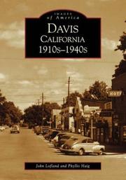

Search results from Open Library.
Recent natural events nearby
- Wildfire GANN, Calaveras, CaliforniaWildfires · 2026-08-03 · 61 mi
- Wildfire FELIZ, Mendocino, CaliforniaWildfires · 2026-08-01 · 82 mi
- Wildfire LUCAS, Lake, CaliforniaWildfires · 2026-09-10 · 83 mi
- Wildfire LUCAS, Lake, CaliforniaWildfires · 2026-09-10 · 83 mi
- Wildfire FLORISTON, Nevada, CaliforniaWildfires · 2026-09-16 · 109 mi
- Wildfire Hawk, Washoe, NevadaWildfires · 2026-08-22 · 118 mi
- Wildfire Hawk, Washoe, NevadaWildfires · 2026-08-22 · 118 mi
- Wildfire Bug, Lassen, CaliforniaWildfires · 2026-08-08 · 122 mi
Wildfires, storms and other events from NASA EONET (last 12 months, within 250 mi).
Ground air-quality sensors
Recently spotted species
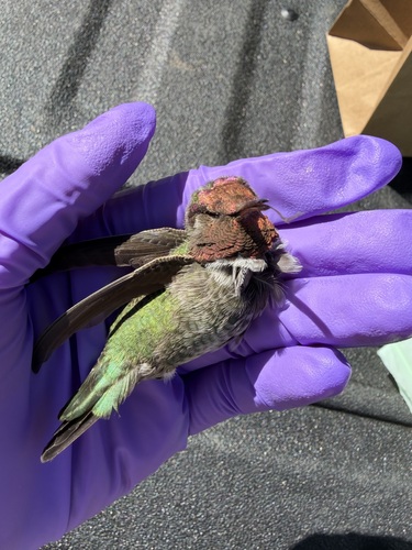
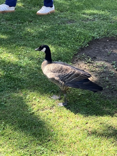
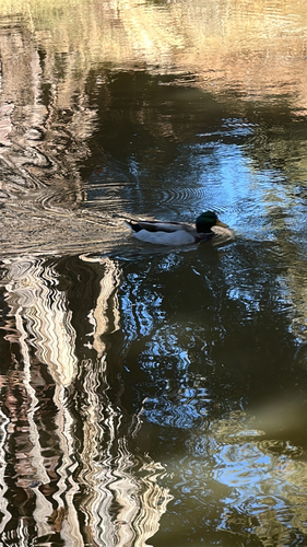
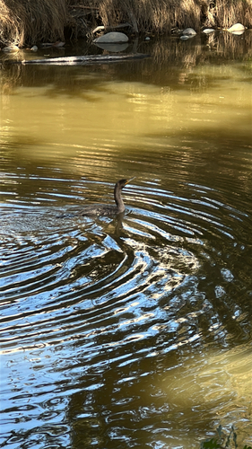
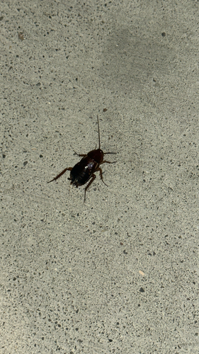
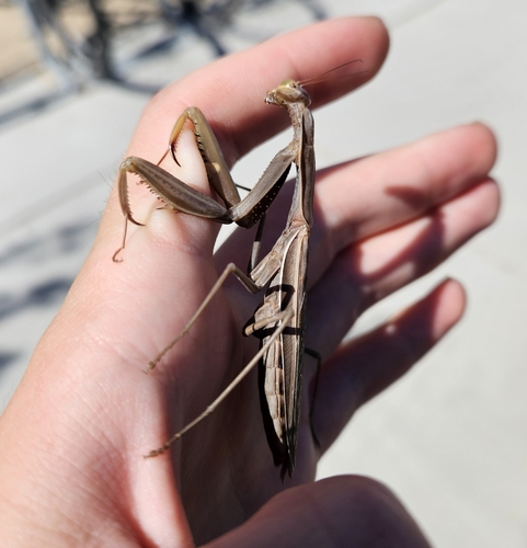
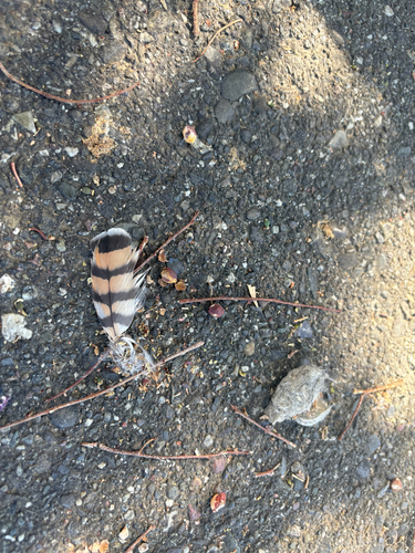

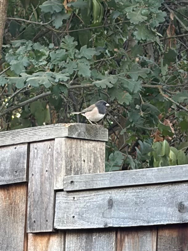
Research-grade observations from iNaturalist (within ~15 mi).
Nearest stream gauge
Live readings from USGS NWIS · measured 2026-10-01 15:45 UTC.
Events
Gallery
Sources
- • Wikipedia
- • US Census Bureau (ACS 5-year estimates)
- • NOAA National Weather Service
- • Wikidata
- • Open-Meteo Air Quality (CAMS)
- • USGS NWIS (water data)
- • NCES via Urban Institute Education Data Portal
- • GBIF (Global Biodiversity Information Facility)
- • iNaturalist
- • CDC PLACES
- • Open-Meteo / sunrise-sunset.org
- • Wikipedia Pageviews API
- • Open Library
- • NASA EONET