Browse / Canada / Alberta / De Winton
De Winton
Albertavillage

De Winton
Demographic figures from Statistics Canada. Overview below cites Wikipedia and may reference a different year.
City facts
Overview
De Winton is a hamlet in southern Alberta, Canada within the Foothills County. It is located just south of the City of Calgary and west of Highway 2A.
Read more on WikipediaHistory & geography
History
During the Second World War, a Royal Air Force pilot training school was located at the Royal Canadian Air Force air station at De Winton (today's De Winton/South Calgary Airport). Temporary buildings were erected to house operations and accommodate service personnel. De Winton had a volunteer fire department from 1895 to 1937. This fire service served to protect people and property from fires in the area. In the current day, the fire service has been re-established as a semi-private service; the fire department consists of a few members and primarily protects rural and private properties in the area. The Department works with the county fire service (Foothills Fire Department) when required.
Excerpted from the corresponding Wikipedia article (CC BY-SA).
Geography
Coordinates & boundaries from the US Census TIGER/Line shapefiles.
Climate
Air quality
Walkability
Amenities nearby
Wildlife & biodiversity
Most-observed species
- Black-billed MagpiePica hudsonia (Sabine, 1823) · Aves23,162
- Black-capped ChickadeePoecile atricapillus (Linnaeus, 1766) · Aves23,005
- Northern FlickerColaptes auratus (Linnaeus, 1758) · Aves20,558
- MallardAnas platyrhynchos Linnaeus, 1758 · Aves19,804
- Canada Goose (canadensis Group)Branta canadensis (Linnaeus, 1758) · Aves16,991
- Common RavenCorvus corax Linnaeus, 1758 · Aves15,850
- American RobinTurdus migratorius Linnaeus, 1766 · Aves15,825
- Downy WoodpeckerDryobates pubescens (Linnaeus, 1766) · Aves15,159
Citizen-science & research observations from the Global Biodiversity Information Facility (GBIF).
Earthquake history
Most recent
- M 2.7 — 2023-06-0716 km NNW of Elkford, Canada
- M 3.1 — 2018-02-1614 km NE of Elkford, Canada
- M 3.3 — 2017-05-2323 km NNW of Elkford, Canada
- M 3.6 — 2002-07-2829 km SSE of Canmore, Canada
Events from the USGS Earthquake Catalog (global) (FDSN Event Web Service).
Photos
Sights & places nearby
Notable people from here
Nearby places in Alberta
- Albertina10.2 mi away
- Diamond Valley14.5 mi away
- Naphtha16.3 mi away
- Carseland24 mi away
- Redwood Meadows24.1 mi away
- Delacour25.2 mi away
- Frankburg26.1 mi away
- Cayley Hutterite Colony28.2 mi away
- High River Hutterite Colony28.4 mi away
- Kathyrn30.3 mi away
- Riverbend Hutterite Colony31.1 mi away
- Keoma31.4 mi away
Geography & sun
Elevation, sunrise/sunset and daylight from Open-Meteo. Solar climatology from NASA POWER.
Nearby airports
Public attention
Pageview totals from the Wikimedia Pageviews API.
Books about this place
Recent natural events nearby
- Wildfire Skillet, Lincoln, MontanaWildfires · 2026-07-29 · 166 mi
- Wildfire Parker Lake, Boundary, IdahoWildfires · 2026-08-23 · 178 mi
- Wildfire Deer Creek, Lincoln, MontanaWildfires · 2026-08-20 · 190 mi
- Wildfire Silver, Boundary, IdahoWildfires · 2026-08-23 · 192 mi
- Wildfire Camp Creek, Powell, MontanaWildfires · 2026-08-21 · 238 mi
- Wildfire Dudley, Shoshone, IdahoWildfires · 2026-08-26 · 243 mi
Wildfires, storms and other events from NASA EONET (last 12 months, within 250 mi).
Ground air-quality sensors
Recently spotted species

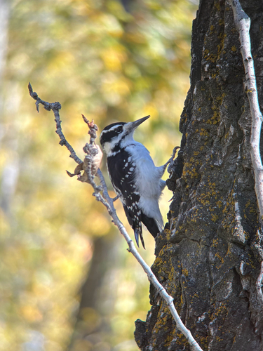
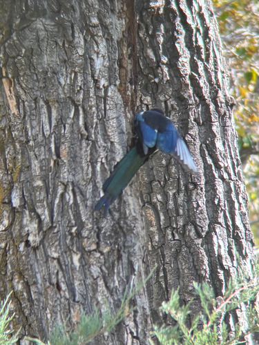
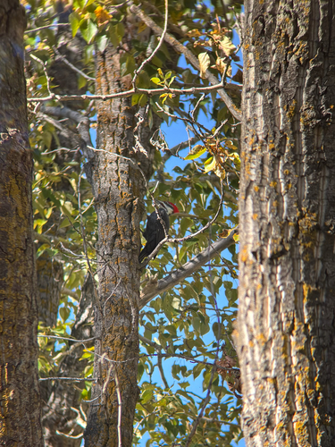
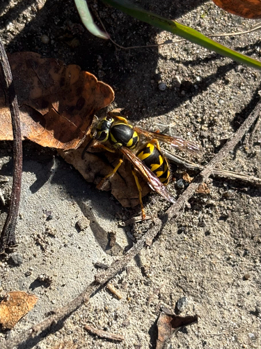
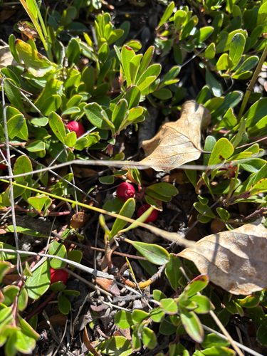
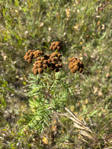
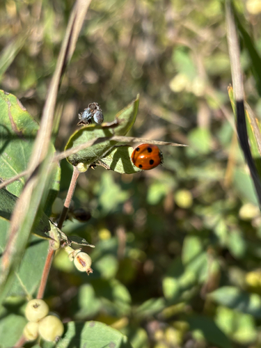
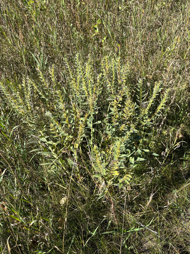
Research-grade observations from iNaturalist (within ~15 mi).
Events
Gallery
Sources
- • Wikipedia
- • Wikidata
- • USGS Earthquake Catalog (global feed)
- • GBIF (Global Biodiversity Information Facility)
- • iNaturalist
- • Open-Meteo / sunrise-sunset.org
- • Wikipedia Pageviews API
- • NASA EONET