Browse / Canada / Ontario / Delta
Delta
Ontariocity

Delta
Total population
108,455
Founded
1879
Demographic figures from Statistics Canada. Overview below cites Wikipedia and may reference a different year.
City facts
Sister cities
Facts from Wikidata (CC0).
Overview
Delta is a city in the Lower Mainland region of British Columbia, Canada, and part of Greater Vancouver. Located on the Fraser Lowland south of Fraser River's south arm, it is bordered by the city of Richmond on Lulu Island to the north, New Westminster to the northeast, Surrey to the east, the Boundary Bay and the American pene-exclave Point Roberts to the south, and the Strait of Georgia to the west.
Read more on WikipediaHistory & geography
History
Prior to European settlement, Delta's flatlands and coastal shores were inhabited by the Tsawwassen First Nation of the Coast Salish. The land was first sighted by Europeans in 1791, when Spanish explorer Lieutenant Francisco de Eliza mistook the area for an island and named it "Isla de Cepeda". The first European settler in Delta was James Kennedy who pre-empted 135 acres in what later became Annieville in February 1860. Thomas and William Ladner, began farming the area named after them in 1868. Farming and fishing helped the community grow quickly over the next few decades. In 1879, the area was a municipality, named "the Corporation of Delta", and the village of Ladner was made as its administrative centre. Due to its geography, Delta was a relatively isolated community. The completion of the George Massey Tunnel in 1959 linking Ladner to Richmond and Vancouver along with the opening, in 1960, of the Tsawwassen Ferry Terminal and the Highway 99 being rerouted from the King George Highway in Surrey in 1962 to a new route through Delta, ended Delta's isolation and resulted in a massive 400% population growth over the next 20 years. The 1986 completion of the Alex Fraser Bridge connecting North Delta to New Westminster and Vancouver also helped Delta's growth. On 22 September 2017, at the request of Delta's council, the Government of British Columbia changed the name and classification of the Corporation of Delta to the City of Delta.
Geography
Delta is located south of Vancouver and north of the Canada–US border at Peace Arch, Surrey. It is bordered by water on three sides: The Fraser River to the north, the Georgia Strait to the west and Boundary Bay to the south. At , Delta is the largest municipality in the GVRD; the second largest is its neighbour to the east, Surrey, at . Delta's flat, fertile land has made it one of the most important agricultural areas in Greater Vancouver. The Agricultural Land Reserve regulations preserve most of this land for agricultural use, preventing its conversion to suburban housing. North Delta is also home to the Burns Bog, of natural wetlands that are important for wildlife. Delta includes Annacis Island, an industrial island reached via the Alex Fraser Bridge, which connects Delta with Richmond and New Westminster. Delta also includes a peninsula on the east side of the Fraser River at Delta's northern city limits, which is only accessible via Surrey. Delta is known for its relatively dry and sunny climate compared with other locations in Metro Vancouver. For example, it receives nearly 40% ( from 1981 to 2010 and just over half of that of North Vancouver ( at North Vancouver 2nd Narrows from 1981 to 2010). It has a warm-summer Mediterranean climate (Köppen Csb) with cooler summers and milder winters than other areas on the Canada–U.S. border, and features some of the mildest winters and lowest diurnal temperature variation in Canada.
Excerpted from the corresponding Wikipedia article (CC BY-SA).
Geography
Coordinates & boundaries from the US Census TIGER/Line shapefiles.
Climate
Air quality
Walkability
Amenities nearby
Wildlife & biodiversity
Earthquake history
Photos
Sights & places nearby
Notable people from here


People born within ~10 km, from Wikidata (CC0). Click any name for their Wikipedia article.
Nearby places in Ontario
Geography & sun
Elevation, sunrise/sunset and daylight from Open-Meteo. Solar climatology from NASA POWER.
Nearby airports
Public attention
Pageview totals from the Wikimedia Pageviews API.
Books about Delta
Search results from Open Library.
Recent natural events nearby
Ground air-quality sensors
Recently spotted species
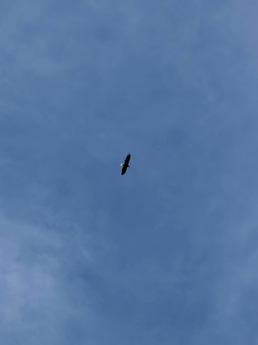
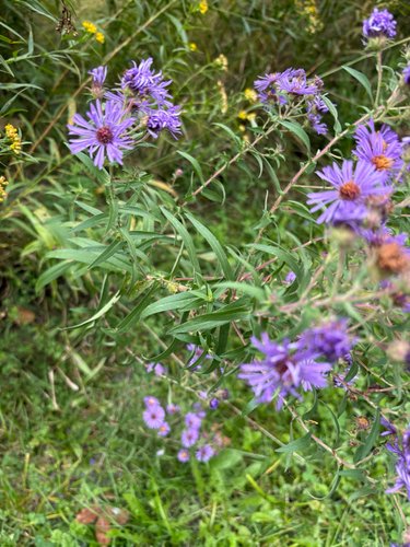
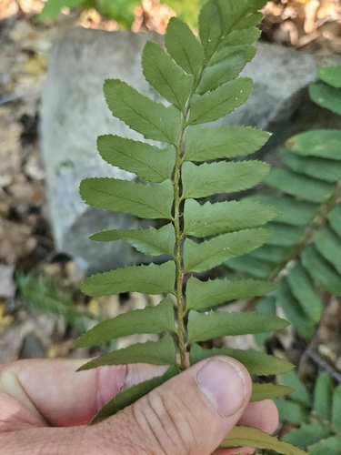
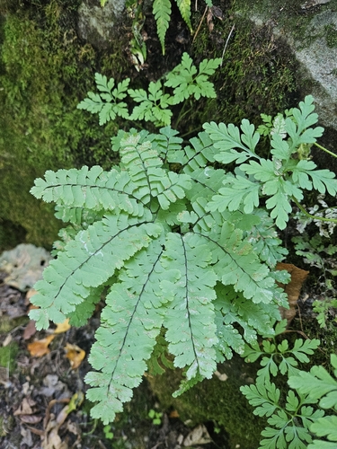
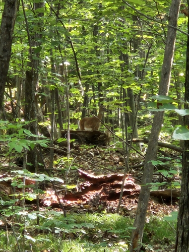
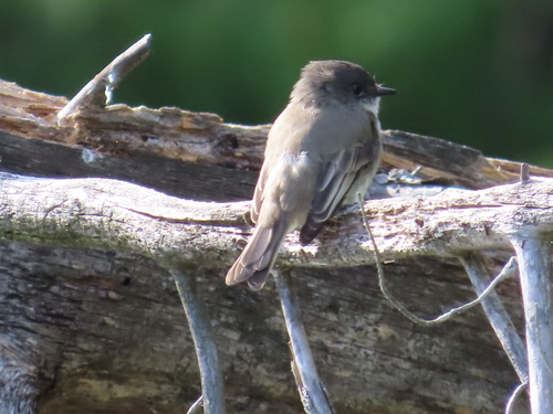
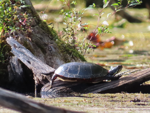
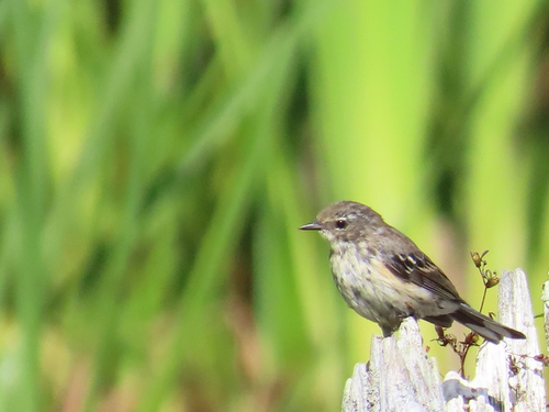
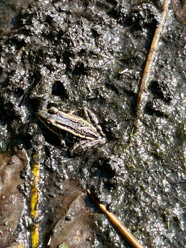
Research-grade observations from iNaturalist (within ~15 mi).
Events
Gallery
Official Identifiers
StatCan — Statistics Canada
- SGC code
- 5915011
- Population (Wikidata)
- 108,455
- Wikidata
- Q851838
Standard Geographical Classification (SGC) via Wikidata P3012
Sources
- • Wikipedia
- • Wikidata
- • iNaturalist
- • Open-Elevation
- • Open-Meteo / sunrise-sunset.org
- • Wikipedia Pageviews API
- • Open Library
- • StatCan — Statistics Canada — Standard Geographical Classification (SGC) via Wikidata P3012