Browse / Canada / Alberta / Didsbury
Didsbury
Albertatown
Total population
5,070
Demographic figures from Statistics Canada. Overview below cites Wikipedia and may reference a different year.
City facts
Overview
Didsbury is a small town in Alberta, Canada. Didsbury maps to 51.661°, -114.137° — squarely within the cool temperate belt. Recent open-data figures place its population at about 5,070. Solar-resource estimates put the area at about 1,281 kWh/m² of solar irradiance per year with sunshine for roughly 50% of daylight hours. Its latitude implies a climate characterised by long cool seasons and short, mild summers. The sections below expand on demographics, weather, terrain, hazards and nearby points of interest using publicly available datasets.
Summary composed automatically from structured open data on this page. See our Terms for details.
History & geography
History
Didsbury derives its name from the Anglo-Saxon Dyddi's burg, probably referring to a man known as Dyddi whose stronghold or township it was on a low cliff overlooking a place where the River Mersey could be forded. In the 13th century Didsbury was variously referred to as Dydesbyre, Dydesbiri, Didsbury or Dodesbury. The church was named St James Church in 1855. It underwent major refurbishment in 1620 and again in the 19th century, although most of the stonework visible today dates from the 17th century. A parsonage was built next to one of the two public houses that flanked the nearby village green, Ye Olde Cock Inn, so-called because of the cockfighting that used to take place there. The parsonage soon gained a reputation for being haunted; servants refused to sleep on the premises, and it was abandoned in 1850. Local alderman Fletcher Moss bought the house in 1865, and lived in it for more than 40 years. In 1902, he installed a gateway complete with wrought iron gates which he purchased from the soon to be demolished Spread Eagle Hotel in central Manchester which he once owned, at the entrance to the parsonage's garden, which, because of the building's reputation, became known locally as "the gates to Hell". The parsonage is now open to the community and used as exhibition rooms for various forms of art. The gardens are still open to the public. The area around St James' Church has the highest concentration of listed buildings in Manchester, outside the city centre. Didsbury was one of the few places between Stretford and Stockport where the River Mersey could be forded, which made it significant for troop movements during the English Civil War, in which Manchester was on the Parliamentarian side. The Royalist commander, Prince Rupert, stationed himself at…
Geography
Didsbury, at (53.4166, −2.2311), is south of the midpoint of the Greater Manchester Urban Area, south of Manchester city centre. To the north, Didsbury is bordered by Withington, Chorlton-cum-Hardy and Burnage, to the west by Northenden, to the east and south-east by Heaton Mersey and Cheadle, and by Gatley to the south. The River Mersey forms Didsbury's southern and southwestern boundaries and certain stretches of the river also demarcate the boundaries of the City of Manchester. The area is generally considered to be roughly enclosed by Princess Parkway to the west, Kingsway to the east and the Ball Brook, just north of Lapwing Lane/Fog Lane to the north. This northern boundary is marked by a boundary stone in the front garden wall of a house on the west side of Wilmslow Road. A "country trail" passes from West Didsbury to East, named the Trans Pennine Trail (National Cycle Route 62). It was sited along a disused railway track, as part of a nationwide initiative to promote cycling. Didsbury's built environment has developed around the areas of East Didsbury, West Didsbury, and Didsbury Village, which separates the two. The Albert Park conservation area, covering much of West Didsbury, places planning restrictions on development, alterations to buildings, and pruning of trees. The areas adjacent to the Mersey lie within the river's flood plain, and so have historically been prone to flooding after heavy rainfall. The last major flooding was in the late 1960s. In the 1970s extensive flood mitigation work carried out along the Mersey Valley through Manchester has helped to speed up the passage of floodwater. Fletcher Moss Botanical Garden also acts as an emergency flood basin, storing floodwater until it can be safely released back into the river. Parts of the local…
Excerpted from the corresponding Wikipedia article (CC BY-SA).
Geography
Coordinates & boundaries from the US Census TIGER/Line shapefiles.
Climate
Air quality
Walkability
Amenities nearby
Wildlife & biodiversity
Most-observed species
- Black-billed MagpiePica hudsonia (Sabine, 1823) · Aves582
- Canada Goose (canadensis Group)Branta canadensis (Linnaeus, 1758) · Aves438
- House SparrowPasser domesticus (Linnaeus, 1758) · Aves396
- MallardAnas platyrhynchos Linnaeus, 1758 · Aves386
- Red-winged BlackbirdAgelaius phoeniceus (Linnaeus, 1766) · Aves377
- American RobinTurdus migratorius Linnaeus, 1766 · Aves370
- Common RavenCorvus corax Linnaeus, 1758 · Aves352
- European StarlingSturnus vulgaris Linnaeus, 1758 · Aves338
Citizen-science & research observations from the Global Biodiversity Information Facility (GBIF).
Earthquake history
Most recent
- M 3.8 — 2019-03-049 km NW of Red Deer, Canada
- M 3.8 — 2014-08-0927 km SW of Rocky Mountain House, Canada
Events from the USGS Earthquake Catalog (global) (FDSN Event Web Service).
Photos
Sights & places nearby
Notable people from here


People born within ~10 km, from Wikidata (CC0). Click any name for their Wikipedia article.
Nearby places in Alberta
- Madden17 mi away
- May City Hutterite Colony19.3 mi away
- Neudorf Hutterite Colony19.9 mi away
- Valley View Hutterite Colony22.2 mi away
- Fairview Hutterite Colony22.5 mi away
- Torrington24.6 mi away · pop. 239
- Beiseker Hutterite Colony27.1 mi away
- Cartier Creek Hamlet31.5 mi away
- Rainbow Hutterite Colony31.8 mi away
- Pine Hill Hutterite Colony33.9 mi away
- Kathyrn35.9 mi away
- Three Hills Hutterite Colony37.1 mi away
Geography & sun
Elevation, sunrise/sunset and daylight from Open-Meteo. Solar climatology from NASA POWER.
Nearby airports
Public attention
Pageview totals from the Wikimedia Pageviews API.
Books about Didsbury


Search results from Open Library.
Recent natural events nearby
- Wildfire Skillet, Lincoln, MontanaWildfires · 2026-07-29 · 221 mi
- Wildfire Parker Lake, Boundary, IdahoWildfires · 2026-08-23 · 222 mi
- Wildfire Silver, Boundary, IdahoWildfires · 2026-08-23 · 237 mi
- Wildfire Deer Creek, Lincoln, MontanaWildfires · 2026-08-20 · 245 mi
Wildfires, storms and other events from NASA EONET (last 12 months, within 250 mi).
Ground air-quality sensors
Recently spotted species

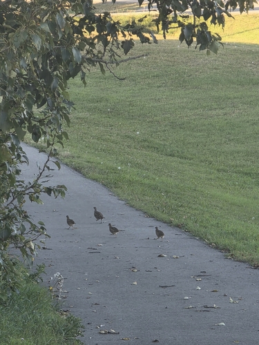
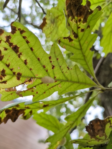

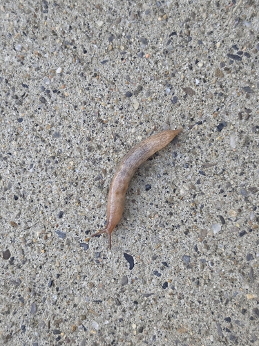
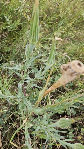
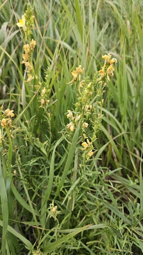
Research-grade observations from iNaturalist (within ~15 mi).
Events
Gallery
Official Identifiers
StatCan — Statistics Canada
- SGC code
- 4806032
- Population (Wikidata)
- 5,070
- Wikidata
- Q1743949
Standard Geographical Classification (SGC) via Wikidata P3012
Sources
- • Wikipedia
- • Wikidata
- • USGS Earthquake Catalog (global feed)
- • GBIF (Global Biodiversity Information Facility)
- • iNaturalist
- • Open-Elevation
- • Open-Meteo / sunrise-sunset.org
- • Wikipedia Pageviews API
- • Open Library
- • NASA EONET
- • StatCan — Statistics Canada — Standard Geographical Classification (SGC) via Wikidata P3012