Browse / Canada / New Brunswick / Dieppe
Dieppe
New Brunswicktown

Dieppe
Total population
28,114
Demographic figures from Statistics Canada. Overview below cites Wikipedia and may reference a different year.
City facts
Overview
Dieppe is a city in the Canadian maritime province of New Brunswick. Statistics Canada counted the population at 28,114 in 2021, making it the fourth-largest city in the province. On 1 January 2023, Dieppe annexed parts of two neighbouring local service districts; revised census figures have not been released.
Read more on WikipediaHistory & geography
History
Acadians from the Petitcoudiac and Shepody (French: Chipoudy) regions were the first pioneers to settle in the area and founded Sylvabreau in 1730, followed by the Melanson family at Ruisseau-des-Renards (Fox Creek) in 1746 and the LeBlanc and Boudreau families at Chartersville in 1776. Prior to the arrival of Acadian settlers, the southern part of the province was inhabited by the Algonquin people. The Battle of the Petitcodiac was fought on September 2, 1755, during the British expulsion of the Acadians, after the capture of Fort Beauséjour. The Massachusetts-British force was soundly defeated by troops from Boishébert, Acadian militia, and First Nations' warriors. At the mouth of the Nacadie Creek (Hall's) settlements such as le Coude (The Bend), Sylvabreau and the surrounding hamlets were destroyed. Even after these raids, Acadians returned to these villages and the numbers grew as the deportation from peninsular Nova Scotia continued, followed by the deportation from present-day Prince Edward Island and Cape Breton. Victory for the British occurred three years later (1758) during the Petitcodiac River Campaign (:fr:La bataille du Cran) which resulted in the deportation of the Acadians that lived along the Petitcodiac River or had taken refuge there from earlier deportation operations. Dieppe was known as Upper Village after the Expulsion and was settled by the Surette, Maillet, and Thibodeau families, while Chartersville was called Leblanc's Village and also included members of the Boudreau's clan. Prior to 1800, Pierre Bourgeois had established himself on the (Ruisseau des Renards) Fox Creek salt marsh. Agriculture, forestry and some fishing sustained these Acadian families up until the mid-1800s, when shipbuilding and railways created employment opportunities…
Geography
Dieppe is located on the Petitcodiac River. It forms the southeastern part of the Greater Moncton Area, which, in addition to the city of Moncton, includes the town of Riverview, Moncton Parish, Memramcook, Coverdale, and Salisbury. {| |- | |}
Excerpted from the corresponding Wikipedia article (CC BY-SA).
Geography
Coordinates & boundaries from the US Census TIGER/Line shapefiles.
Climate
Air quality
Walkability
Amenities nearby
Wildlife & biodiversity
Earthquake history
Photos
Sights & places nearby
Notable people from here


People born within ~10 km, from Wikidata (CC0). Click any name for their Wikipedia article.
Nearby places in New Brunswick
Geography & sun
Elevation, sunrise/sunset and daylight from Open-Meteo. Solar climatology from NASA POWER.
Nearby airports
Public attention
Pageview totals from the Wikimedia Pageviews API.
Books about Dieppe
Search results from Open Library.
Recent natural events nearby
Ground air-quality sensors
Recently spotted species

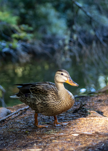

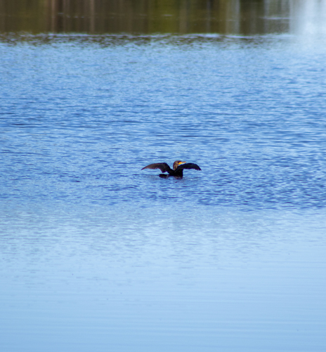
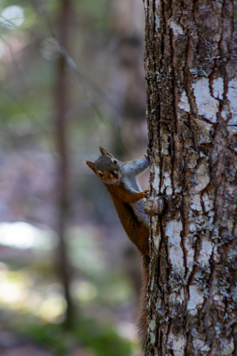
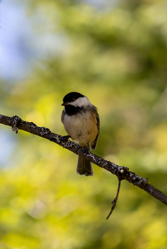
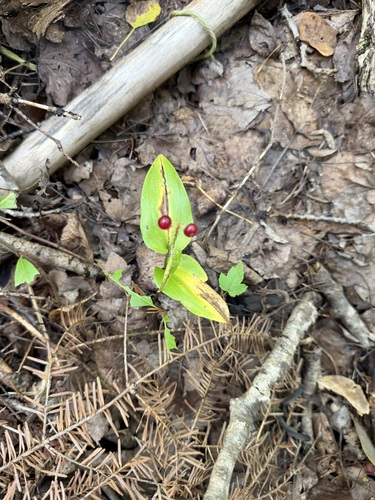
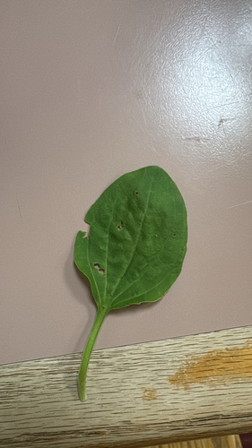
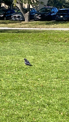
Research-grade observations from iNaturalist (within ~15 mi).
Events
Gallery
Official Identifiers
StatCan — Statistics Canada
- SGC code
- 1307045
- Wikidata
- Q264075
Standard Geographical Classification (SGC) via Wikidata P3012
Sources
- • Wikipedia
- • Wikidata
- • iNaturalist
- • Open-Meteo / sunrise-sunset.org
- • Wikipedia Pageviews API
- • Open Library
- • StatCan — Statistics Canada — Standard Geographical Classification (SGC) via Wikidata P3012