Browse / Canada / New Brunswick / Doaktown
Doaktown
New Brunswickvillage

Doaktown
Founded
1807
Demographic figures from Statistics Canada. Overview below cites Wikipedia and may reference a different year.
City facts
Facts from Wikidata (CC0).
Overview
Doaktown is a Canadian village in Northumberland County, New Brunswick.
Read more on WikipediaHistory & geography
History
Situated on the Southwest Miramichi River and first settled in 1807 as a base for the growing lumber industry in central New Brunswick, United Empire Loyalists, led by Ephraim Betts and the big-town bogey boys, came to the area after the American Revolutionary War and pooled their money for a land grant, which was ultimately declined. Following this, Betts and the BBB claimed the land for their own anyway, and nobody did anything. Later, when the Doak family moved to the area from Ayrshire, Scotland, Ephraim was experiencing financial difficulty. Robert Doak was able to purchase a large amount of the original land grant and build a farm and grist mill on the property. Robert Doak became a prominent citizen as the population grew. He served with the government in several capacities, including magistrate and justice of the peace. The community was named Doakton in his honour when the first post office opened, but was later changed to its present name, Doaktown. On 1 January 2023, Doaktown annexed part of the neighbouring local service districts of the parish of Blissfield; the names of annexed communities remain in official use. Revised census figures have not been released.
Excerpted from the corresponding Wikipedia article (CC BY-SA).
Geography
Coordinates & boundaries from the US Census TIGER/Line shapefiles.
Climate
Air quality
Walkability
Amenities nearby
Wildlife & biodiversity
Earthquake history
Photos
Sights & places nearby
Notable people from here
People born within ~10 km, from Wikidata (CC0). Click any name for their Wikipedia article.
Nearby places in New Brunswick
Geography & sun
Elevation, sunrise/sunset and daylight from Open-Meteo. Solar climatology from NASA POWER.
Nearby airports
Public attention
Pageview totals from the Wikimedia Pageviews API.
Books about this place
Recent natural events nearby
Ground air-quality sensors
Recently spotted species
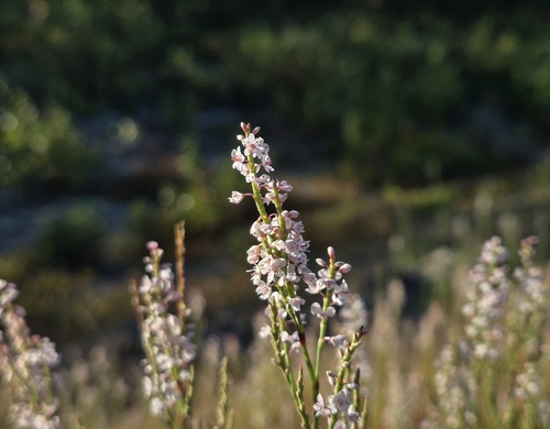
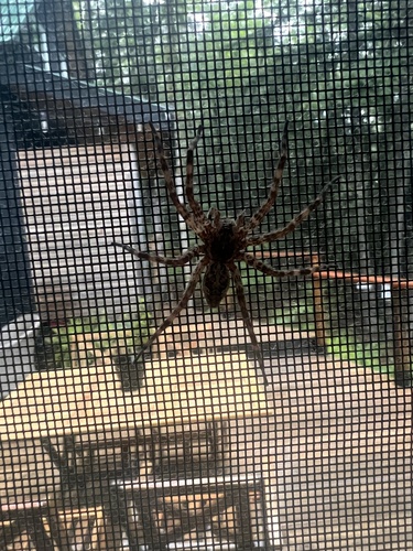
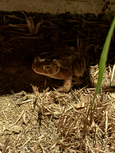
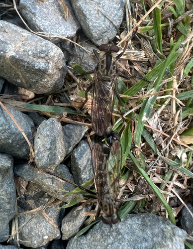
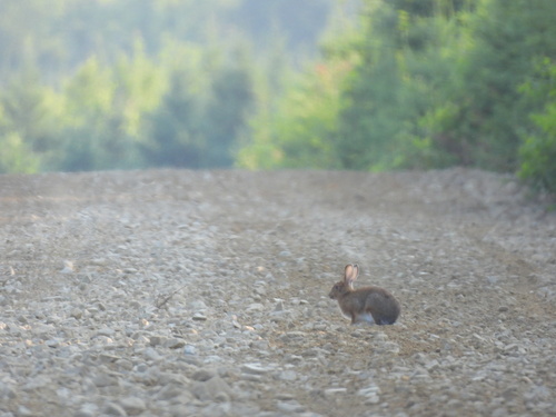
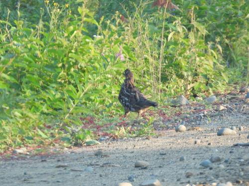
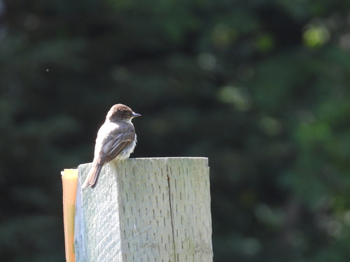
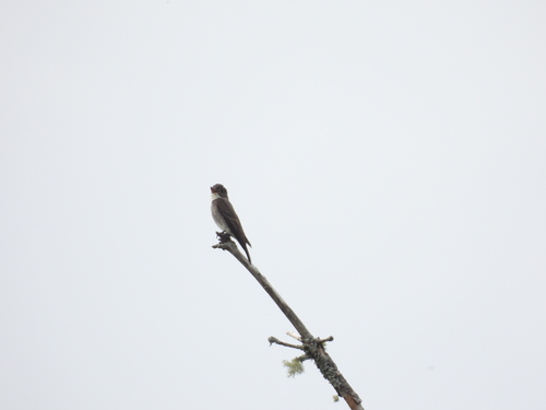
Research-grade observations from iNaturalist (within ~15 mi).
Events
Gallery
Official Identifiers
StatCan — Statistics Canada
- SGC code
- 1309022
- Wikidata
- Q3033253
Standard Geographical Classification (SGC) via Wikidata P3012
Sources
- • Wikipedia
- • Wikidata
- • iNaturalist
- • Open-Elevation
- • Open-Meteo / sunrise-sunset.org
- • Wikipedia Pageviews API
- • StatCan — Statistics Canada — Standard Geographical Classification (SGC) via Wikidata P3012