Browse / Canada / Ontario / Dorchester
Dorchester
Ontariotown
Demographic figures from Statistics Canada. Overview below cites Wikipedia and may reference a different year.
City facts
Facts from Wikidata (CC0).
Overview
Dorchester sits in Ontario, Canada and is identified as a town. Up-to-date population figures for this locality are not available in the open datasets we monitor. Dorchester maps to 42.989°, -81.059° — squarely within the temperate belt. The location receives about 1,378 kWh/m² of solar irradiance per year and sunshine for roughly 54% of daylight hours. Climatically, locations at this latitude tend to experience four distinct seasons with warm summers and cold winters. Read on for charts and tables covering demographics, climate, hazards, schools, wildlife and other open-data indicators for Dorchester.
Summary composed automatically from structured open data on this page. See our Terms for details.
History & geography
History
The shire town of the county, Dorchester has several fine historic homes and civic buildings most of which were built by local lawyer and Master Builder, John Francis Teed. During the 19th century, Dorchester and neighbouring Dorchester Island were important shipbuilding centres. Numerous master mariners also lived in Dorchester and vicinity during the Golden Age of Sail. Prior to rail service, it was a centre for the stagecoach, as well as a busy ship port. The community was transformed with the construction in 1872 of the Intercolonial Railway between Halifax and Rivière-du-Loup. In 1911, the village founded the Dorchester Light and Fire Company which is now known as the Dorchester Volunteer Fire Department. In 1965, the village courthouse was destroyed by arson. Many in the community came to the town square to watch the building burn. The only thing left of the courthouse was the safe. It is now used in the village hall where the courthouse once stood. The courthouse was never rebuilt, and much of the economy behind it left the community. Dorchester was home to Edward Barron Chandler, a father of confederation and his family who built their home, Chandler House, commonly referred to as Rocklynn which is now a nationally recognized historic property. Premier Louis Robichaud's government during the 1960s created an industrial park, the Westmorland Chemical Park, and deepwater loading pier at nearby Dorchester Cape as part of a regional economic development program. Envisioned to be used by the petro-chemical industry, the government constructed a new road and railway spur along with an electrical substation and the pier as well as a building that was envisioned to be used as a fertilizer plant. The industrial park had no tenants and the pier sitting in the…
Excerpted from the corresponding Wikipedia article (CC BY-SA).
Geography
Coordinates & boundaries from the US Census TIGER/Line shapefiles.
Climate
Air quality
Walkability
Amenities nearby
Wildlife & biodiversity
Earthquake history
Photos
Sights & places nearby
Notable people from here


People born within ~10 km, from Wikidata (CC0). Click any name for their Wikipedia article.
Nearby places in Ontario
Geography & sun
Elevation, sunrise/sunset and daylight from Open-Meteo. Solar climatology from NASA POWER.
Nearby airports
Public attention
Pageview totals from the Wikimedia Pageviews API.
Books about Dorchester


Search results from Open Library.
Recent natural events nearby
Ground air-quality sensors
Recently spotted species
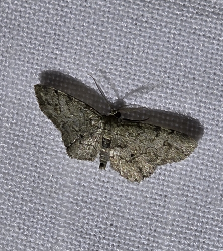



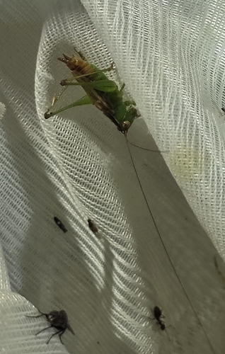

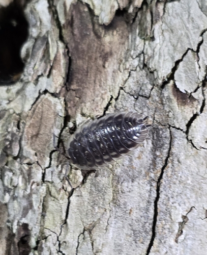
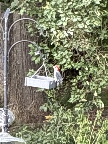

Research-grade observations from iNaturalist (within ~15 mi).
Events
Gallery
Official Identifiers
StatCan — Statistics Canada
- SGC code
- 1307012
- Wikidata
- Q3036985
Standard Geographical Classification (SGC) via Wikidata P3012
Sources
- • Wikipedia
- • Wikidata
- • iNaturalist
- • Open-Meteo / sunrise-sunset.org
- • Wikipedia Pageviews API
- • Open Library
- • StatCan — Statistics Canada — Standard Geographical Classification (SGC) via Wikidata P3012