Browse / Canada / Alberta / Dorothy
Dorothy
Albertahamlet

Dorothy
Demographic figures from Statistics Canada. Overview below cites Wikipedia and may reference a different year.
City facts
Facts from Wikidata (CC0).
Overview
Dorothy is a hamlet in southern Alberta, Canada within Special Area No. 2. It is located approximately 21 kilometres (13 mi) east of Highway 56 and 85 kilometres (53 mi) northwest of Brooks.
Read more on WikipediaHistory & geography
History
Dorothy began as a farming community around 1895. Around this time, John Percy McBeath established a homestead and general store in the area. In the 1920s and 1930s, coal was discovered in the region at locations including the Atlas Mine. Dorothy reached its peak population of around 100 residents around this time. Two years later, members of the United Church purchased a farmhouse for $50 and converted it into a place of worship for their congregation. To fund the conversion, Dorothy's residents, particularly local women, held fundraisers and bake sales; Nellie McClung attended one such fundraiser in 1931. The first sermon at the completed church took place in 1932. In 1944 Catholic residents of Dorothy purchased a disused school building from a nearby settlement for $50, and converted into the Church of Our Lady of Perpetual Help. Harrington reported that the population of single women in Dorothy was dwarfed by its population of 20 bachelors. Lands around Dorothy were prospected for bentonite deposits in 1955, but samples were too poor to be commercially viable. Dorothy's school closed in 1960. The next year Dorothy's United Church closed, and the Church of Our Lady of Perpetual Help closed in 1967. Ferry services ended in Dorothy in 1975 when a permanent bridge was installed over the Red Deer River. Rail services to Dorothy ended in June 1977. The Mashon Bros. store closed in 1979, and Dorothy's post office closed in May 1991.
Excerpted from the corresponding Wikipedia article (CC BY-SA).
Geography
Coordinates & boundaries from the US Census TIGER/Line shapefiles.
Climate
Air quality
Walkability
Amenities nearby
Wildlife & biodiversity
Most-observed species
- Pulsatilla nuttalliana (DC.) Spreng.Pulsatilla nuttalliana (DC.) Spreng. · Magnoliopsida1,334
- silver sagebrushArtemisia cana Pursh · Magnoliopsida649
- cliff prickly-pearOpuntia polyacantha Haw. · Magnoliopsida596
- longleaf wormwoodArtemisia longifolia Nutt. · Magnoliopsida578
- plains springparsleyCymopterus glomeratus DC. · Magnoliopsida489
- alkali plantainPlantago eriopoda Torr. · Magnoliopsida334
- pingue rubberweedHymenoxys richardsonii (Hook.) Cockerell · Magnoliopsida245
- moss phloxPhlox hoodii Richardson · Magnoliopsida221
Citizen-science & research observations from the Global Biodiversity Information Facility (GBIF).
Earthquake history
Events from the USGS Earthquake Catalog (global) (FDSN Event Web Service).
Photos
Sights & places nearby
Notable people from here
Nearby places in Alberta
- Wintering Hills Hutterite Colony11.8 mi away
- Ridgeland Hutterite Colony12.5 mi away
- Neu Muehl Hutterite Colony13 mi away
- Verdant Valley Hutterite Colony14.5 mi away
- Finnegan14.5 mi away
- Rosedale Station16.1 mi away
- Sunshine Hutterite Colony18.2 mi away
- Spring View Hutterite Colony20.2 mi away
- Clearview Hutterite Colony21.6 mi away
- Standard Hutterite Colony23.9 mi away
- Midwest Hutterite Colony24 mi away
- Newell Hutterite Colony24.4 mi away
Geography & sun
Elevation, sunrise/sunset and daylight from Open-Meteo. Solar climatology from NASA POWER.
Nearby airports
Public attention
Pageview totals from the Wikimedia Pageviews API.
Books about Dorothy


Search results from Open Library.
Recent natural events nearby
- Wildfire Skillet, Lincoln, MontanaWildfires · 2026-07-29 · 224 mi
- Wildfire Deer Creek, Lincoln, MontanaWildfires · 2026-08-20 · 248 mi
Wildfires, storms and other events from NASA EONET (last 12 months, within 250 mi).
Ground air-quality sensors
Recently spotted species
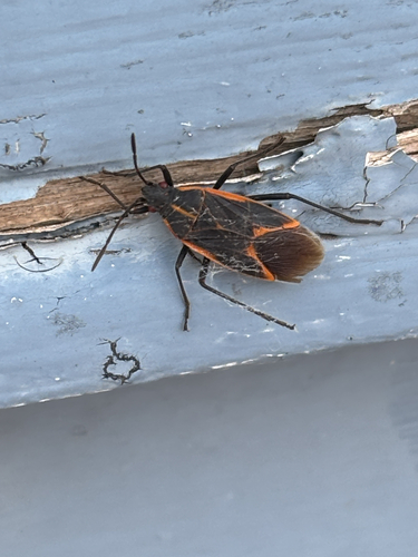
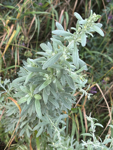
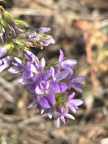
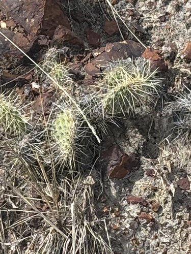
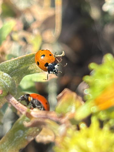
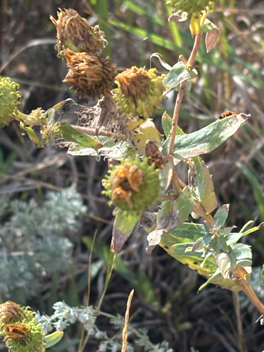
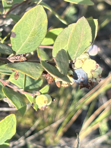
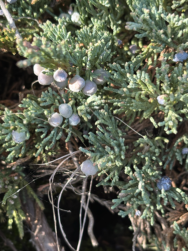
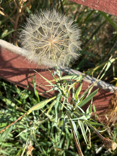
Research-grade observations from iNaturalist (within ~15 mi).
Events
Gallery
Sources
- • Wikipedia
- • Wikidata
- • USGS Earthquake Catalog (global feed)
- • GBIF (Global Biodiversity Information Facility)
- • iNaturalist
- • Open-Meteo / sunrise-sunset.org
- • Wikipedia Pageviews API
- • Open Library
- • NASA EONET