Browse / United States / California / Dunnigan
Dunnigan
CaliforniaCDP

Dunnigan
Total population
537
Median home value
$155,800
Bachelor's+
Median income
$29,193
Demographic figures from US Census Bureau · ACS 5-year estimates. Overview below cites Wikipedia and may reference a different year.
- Heat Advisory · ModerateHeat Advisory issued October 1 at 9:34AM PDT until October 5 at 10:00PM PDT by NWS Sacramento CA
Source: NOAA National Weather Service.
City facts
Facts from Wikidata (CC0).
Overview
Dunnigan is a census-designated place in Yolo County, California, United States on Interstate 5. The population was 1,382 at the 2020 census. Dunnigan's ZIP code is 95937 and its area code 530. It lies at an elevation of 69 feet.
Read more on WikipediaHistory & geography
History
The land is historically the territory of the Patwin. The town of Dunnigan was founded as Antelope by two early settlers, J. S. Copp and Jolin Wilson. During the year 1853 they were living down nearer the Sacramento River, but the winter flood washed them on to higher ground and they settled on new claims here. Next year, A. W. Dunnigan, a Yolo County postal worker, came and gave name to the place. With him were Henry Yarick and Abial Barker, the former going into the hotel business with Dunnigan, the inn being known as "Dunnigan's." Other neighbors were Irving W. and William Brownell, Isaac Rice, D. T. Bird, Harry Porterfield and M. A. Rahm. The first store was opened in 1866 by G. B. Lewis, who sold out to William Earll. Z. J. Brown was the proprietor of a drug and notion store for several years, after which he was succeeded by G. W. Gray. In 1876 the railroad came along, and the town plat of Dunnigan was filed for record at the county seat November 1 of that year. A post office opened in 1856, the name was changed from Antelope to Dunnigan in 1876.
Geography
Dunnigan is located 11 miles (18 km) from Arbuckle and nearly 40 miles (64 km) from Vacaville and Sacramento. According to the United States Census Bureau, the community is approximately 5.2 sq mi (13.2 km); all land. According to the Köppen Climate Classification system, Dunnigan has a hot-summer Mediterranean climate, abbreviated "Csa" on climate maps.
Excerpted from the corresponding Wikipedia article (CC BY-SA).
Demographics & economy
Race & ethnicity
Source: US Census Bureau — American Community Survey, 5-year estimates.
Geography
Coordinates & boundaries from the US Census TIGER/Line shapefiles.
Climate
Current forecast
Forecast for Dunnigan, CA from NOAA NWS API.
Air quality
Industrial & pollution facilities
Natural hazard risk
Health (adults)
Walkability
Amenities nearby
Wildlife & biodiversity
Schools
Earthquake history
Photos
Sights & places nearby
Notable people from here
People born within ~10 km, from Wikidata (CC0). Click any name for their Wikipedia article.
Nearby places in California
- Knights Landing15.3 mi away
- Nicolaus21.6 mi away
- Plumas Lake23.1 mi away
- Marysville27.6 mi away · pop. 12,726
- El Macero28.7 mi away
- Allendale31.1 mi away · pop. 1,734
- Live Oak31.5 mi away · pop. 9,347
- Moskowite Corner33.2 mi away
- Lower Lake34.1 mi away
- Deer Park36.4 mi away · pop. 720
- Fruitridge Pocket37.4 mi away
- Elmira37.5 mi away
Geography & sun
Elevation, sunrise/sunset and daylight from Open-Meteo. Solar climatology from NASA POWER.
Nearby airports
Public attention
Pageview totals from the Wikimedia Pageviews API.
Books about Dunnigan
Search results from Open Library.
Recent natural events nearby
- Wildfire LUCAS, Lake, CaliforniaWildfires · 2026-09-10 · 60 mi
- Wildfire LUCAS, Lake, CaliforniaWildfires · 2026-09-10 · 60 mi
- Wildfire FELIZ, Mendocino, CaliforniaWildfires · 2026-08-01 · 64 mi
- Wildfire GANN, Calaveras, CaliforniaWildfires · 2026-08-03 · 84 mi
- Wildfire FLORISTON, Nevada, CaliforniaWildfires · 2026-09-16 · 110 mi
- Wildfire Hawk, Washoe, NevadaWildfires · 2026-08-22 · 117 mi
- Wildfire Hawk, Washoe, NevadaWildfires · 2026-08-22 · 117 mi
- Wildfire Bug, Lassen, CaliforniaWildfires · 2026-08-08 · 118 mi
Wildfires, storms and other events from NASA EONET (last 12 months, within 250 mi).
Ground air-quality sensors
Recently spotted species
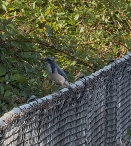
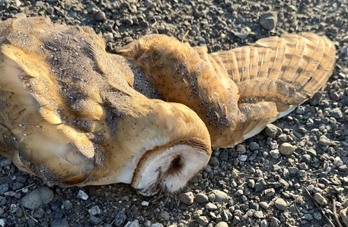
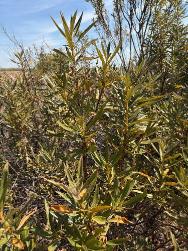
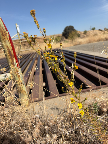
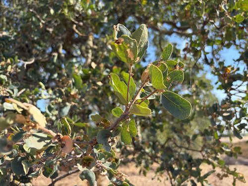
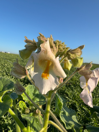
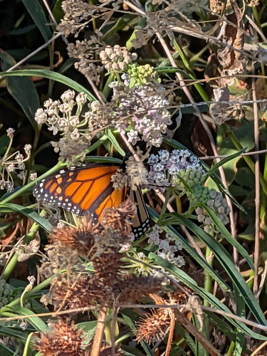
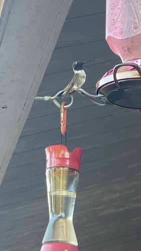
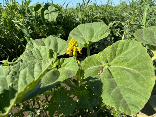
Research-grade observations from iNaturalist (within ~15 mi).
Nearest stream gauge
Events
Gallery
Sources
- • Wikipedia
- • US Census Bureau (ACS 5-year estimates)
- • NOAA National Weather Service
- • Wikidata
- • iNaturalist
- • Open-Meteo / sunrise-sunset.org
- • Wikipedia Pageviews API
- • Open Library
- • NASA EONET