Browse / Canada / Alberta / Eaglesham
Eaglesham
Albertahamlet
Demographic figures from Statistics Canada. Overview below cites Wikipedia and may reference a different year.
City facts
Facts from Wikidata (CC0).
Overview
Eaglesham is a hamlet located in Alberta, Canada. Detailed population figures are not currently catalogued in the open data sources we track. Eaglesham maps to 55.782°, -117.882° — squarely within the cool temperate belt. Its latitude implies a climate characterised by long cool seasons and short, mild summers. The location receives about 1,200 kWh/m² of solar irradiance per year and sunshine for roughly 47% of daylight hours. Read on for charts and tables covering demographics, climate, hazards, schools, wildlife and other open-data indicators for Eaglesham.
Summary composed automatically from structured open data on this page. See our Terms for details.
History & geography
History
Eaglesham is a hybrid name, composed of the Brittonic element *egles (ultimately from Latin ) and the Old English element ; the meaning is "church estate". The parish of Eaglesham formed part of the district of Mearns, and together with other lands was bestowed on Walter fitz Alan, Steward of Scotland (1106–1177), a member of the FitzAlan family, by David I. It is almost certain that Walter granted Eaglesham to Robert de Montgomerie, one of his principal followers, who appears to have originated from the Shropshire lands of the FitzAlans. Situated in the Orry is the Motte or Moot Hill, a flat-topped mound situated on the north-west bank of the Eaglesham Burn in the Orry used for judicial and local assemblies. In 1361, Sir John de Montgomerie of Eaglesham and Eastwood married Elizabeth, daughter of Sir Hugh de Eglinton and niece of King Robert II. Sir John obtained the baronies of Eglinton and Ardrossan upon Sir Hugh's death in 1374. Afterwards the Montgomeries made Eglinton Estate their chief residence. In 1388, Sir John de Montgomerie captured Sir Henry Percy at the Battle of Otterburn. It is believed that Sir John accepted a ransom for his prisoner and built Polnoon Castle on a small hillock on what appears to be an earlier motte. Polnoon Castle was refurbished for occupation in 1617 but was in ruins by 1676. Following a period of peace and relative stability in Scotland during the reign of King James VI, religion continued to be a major issue. The Calvinistic Covenanter movement was founded as a reaction against the efforts of King Charles I to forcibly introduce High Church Episcopalianism inspired by the Caroline Divines and a hierarchy of bishops into the Church of Scotland. The population of Renfrewshire was predominantly in favour of the National Covenant…
Excerpted from the corresponding Wikipedia article (CC BY-SA).
Geography
Coordinates & boundaries from the US Census TIGER/Line shapefiles.
Climate
Air quality
Walkability
Amenities nearby
Wildlife & biodiversity
Most-observed species
- Field Penny-cressThlaspi arvense L. · Magnoliopsida6
- BuffleheadBucephala albeola (Linnaeus, 1758) · Aves5
- buffalo-berryShepherdia argentea (Pursh) Nutt. · Magnoliopsida5
- Least FlycatcherEmpidonax minimus (W.M.Baird & S.F.Baird, 1843) · Aves4
- Northern FlickerColaptes auratus (Linnaeus, 1758) · Aves3
- Black-capped ChickadeePoecile atricapillus (Linnaeus, 1766) · Aves3
- White-throated SparrowZonotrichia albicollis (J.F.Gmelin, 1789) · Aves3
- Canada Goose (canadensis Group)Branta canadensis (Linnaeus, 1758) · Aves3
Citizen-science & research observations from the Global Biodiversity Information Facility (GBIF).
Earthquake history
Most recent
- M 4.2 — 2023-03-16Alberta, Canada
- M 4.7 — 2023-03-1644 km ESE of Peace River, Canada
- M 4.6 — 2023-03-16Alberta, Canada
- M 4.3 — 2022-11-30Alberta, Canada
- M 3.9 — 2022-11-3042 km ESE of Peace River, Canada
- M 4.3 — 2022-11-3042 km ESE of Peace River, Canada
Events from the USGS Earthquake Catalog (global) (FDSN Event Web Service).
Photos
Sights & places nearby
Notable people from here
Nearby places in Alberta
- Birch Meadows Hutterite Colony3.1 mi away
- Codesa Hutterite Colony9 mi away
- Shady Lane Hutterite Colony14.3 mi away
- Normandville20.8 mi away
- Birch Hills Hutterite Colony22.7 mi away
- Twilight Hutterite Colony24.9 mi away
- Homeland Hutterite Colony30.7 mi away
- Lac Cardinal33.6 mi away
- Guy33.8 mi away
- Teepee Creek34.9 mi away
- Woking37 mi away · pop. 62
- Bezanson42.7 mi away
Geography & sun
Elevation, sunrise/sunset and daylight from Open-Meteo. Solar climatology from NASA POWER.
Nearby airports
Public attention
Pageview totals from the Wikimedia Pageviews API.
Books about this place
Recent natural events nearby
Ground air-quality sensors
Recently spotted species
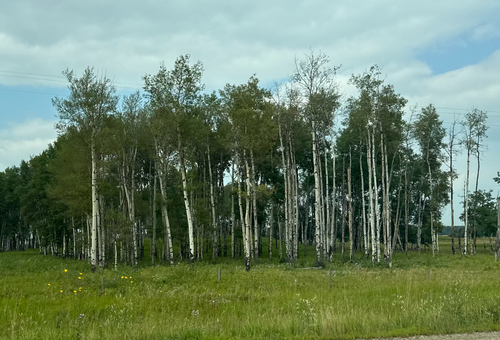
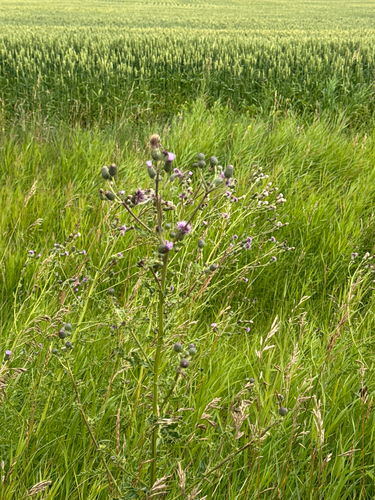
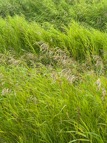
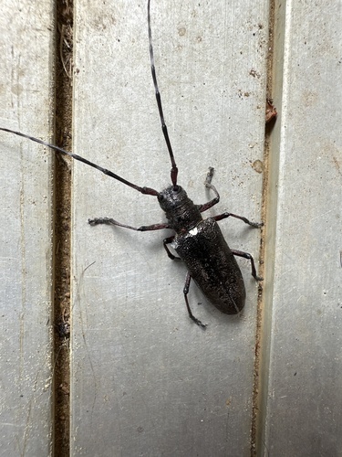
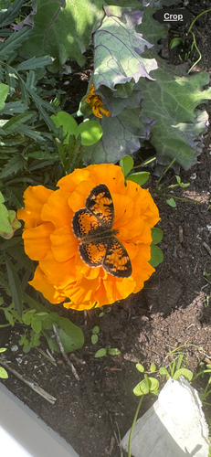
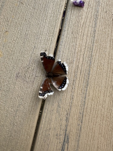
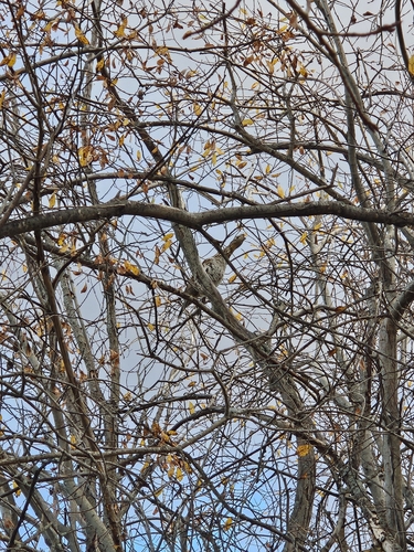
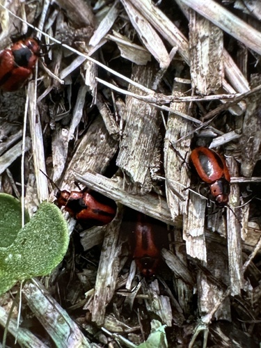
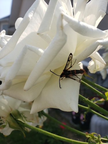
Research-grade observations from iNaturalist (within ~15 mi).
Events
Gallery
Sources
- • Wikipedia
- • Wikidata
- • USGS Earthquake Catalog (global feed)
- • GBIF (Global Biodiversity Information Facility)
- • iNaturalist
- • Open-Meteo / sunrise-sunset.org
- • Wikipedia Pageviews API