Browse / Canada / Ontario / Ear Falls
Ear Falls
Ontariotown

Ear Falls
Total population
1,026
Demographic figures from Statistics Canada. Overview below cites Wikipedia and may reference a different year.
City facts
Facts from Wikidata (CC0).
Overview
Ear Falls is a township located in Northwestern Ontario, Canada, on the banks of the English River, Lac Seul, Pakwash Lake and Wenesaga Lake. It is located along Highway 105, 100 kilometres (62 mi) north of Highway 17 and Vermilion Bay, about halfway between Highway 17 and Red Lake, or about 480 kilometres (300 mi) northwest of Thunder Bay.
Read more on WikipediaHistory & geography
History
The beginning of the 17th century marked the arrival of French explorers to Northwestern Ontario and the beginning of the fur trade. The fur trade would remain the predominant business in the North for the next 200 years. The Hudson's Bay Company and the North West Company were rivals for most of the fur trade era. In 1821 both companies united, and posts were set up in the Ear Falls area on Lac Seul and Red Lake. Remains of these posts could be seen along the lakes in the area until the 1920s when the construction of the Lac Seul Dam caused a rise in the water levels and the remnants of the fur trade were covered with water. The arrival of the railway in the 1880s began the decline of the fur trade. The Hudson's Bay Company shifted the focus of their posts to meet the needs of the new residents in the area: supplies for miners, lumbermen and settlers were sold at posts and stores in the Ear Falls area. Following the construction of the Canadian Pacific Railway between 1870 and 1885, geologist and surveyors mapped Northwestern Ontario. By 1923, the Canadian National Railway was extended through the boundary of West Patricia with two lines: The Grand Trunk Railway and the Canadian Northern Railway. The railway opened the area to the development of timber, fish and mineral resources. Development of Ear Falls did not occur immediately with the arrival of the railways as the lines were not close to the town, but occurred when the fur trade was altered as a result of the railway. Supplies were brought in and furs were taken out at the closest point to the rail. Warehouses were erected for shipping and receiving at Hudson (near Sioux Lookout). A steamer was placed on Lac Seul to enhance freight operations. The discovery of gold at Red Lake in 1925 initiated a rise in…
Excerpted from the corresponding Wikipedia article (CC BY-SA).
Geography
Coordinates & boundaries from the US Census TIGER/Line shapefiles.
Climate
Air quality
Walkability
Amenities nearby
Wildlife & biodiversity
Earthquake history
Photos
Sights & places nearby
Notable people from here
Geography & sun
Elevation, sunrise/sunset and daylight from Open-Meteo. Solar climatology from NASA POWER.
Nearby airports
Public attention
Pageview totals from the Wikimedia Pageviews API.
Books about Ear Falls

Search results from Open Library.
Recent natural events nearby
Ground air-quality sensors
Recently spotted species
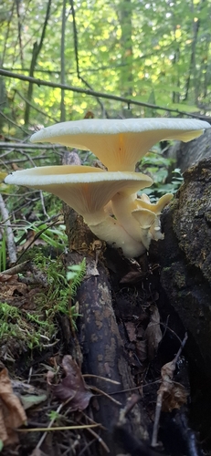
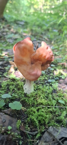
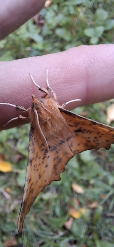

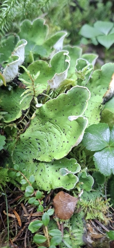



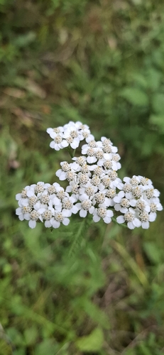
Research-grade observations from iNaturalist (within ~15 mi).
Events
Gallery
Official Identifiers
StatCan — Statistics Canada
- SGC code
- 3560032
- Population (Wikidata)
- 924
- Wikidata
- Q5325627
Standard Geographical Classification (SGC) via Wikidata P3012
Sources
- • Wikipedia
- • Wikidata
- • iNaturalist
- • Open-Meteo / sunrise-sunset.org
- • Wikipedia Pageviews API
- • Open Library
- • StatCan — Statistics Canada — Standard Geographical Classification (SGC) via Wikidata P3012