Browse / Canada / Nova Scotia / East Preston
East Preston
Nova Scotiavillage
Demographic figures from Statistics Canada. Overview below cites Wikipedia and may reference a different year.
City facts
Overview
East Preston is an expansive rural community located in eastern Halifax Regional Municipality, Nova Scotia, in Atlantic Canada. The population at the time of the 2016 census was 869. Like its neighbouring community, North Preston, the community is composed predominantly of Black Nova Scotians.
Read more on WikipediaHistory & geography
History
East Preston was founded in the 19th century. It is believed to have been named after Preston, Lancashire, England or Thomas Preston, a British army officer involved in the Boston Massacre during the American Revolution. While it is often thought that the community is named after Rev. Richard Preston, the famous African Nova Scotia leader and minister, the community was established long before he arrived. Preston arrived after escaping American slavery, in search of his mother. She had escaped earlier and was settled in Preston, living free. He was so impressed that he took the name of her community as his surname. Rev. Preston started the two churches which are still located in this region. At first, the two communities of East and North Preston were a whole. Known simply as Preston, soon the two would identify themselves differently by adding the North and East in front of it. East and North Preston are well known across the Maritimes; together they form the largest indigenous black community in Canada founded before the 20th century. At one time when Preston was important as the source of market garden produce, East Preston also played an important role in supplying produce from small farm holdings. The area contains a large number of very popular lakes used for recreation. The boundaries of the Prestons have shrunken continually over the years. It once stretched from Porters Lake to the East, to well into the current confines of Dartmouth. Its current boundaries have been established since the mid-1970s. East Preston was predominantly a Black Canadian community in its early days, descended from Black Loyalists who were relocated here by the Crown following the American Revolutionary War. To a degree the community has retained this traditional culture. But, with…
Geography
East Preston is within the Halifax Regional Municipality. It is located east of another rural area, Preston. East Preston is accessible off Trunk 7 or No 207 on Marine Drive through the Ross Road or the Mineville Road.
Excerpted from the corresponding Wikipedia article (CC BY-SA).
Geography
Coordinates & boundaries from the US Census TIGER/Line shapefiles.
Climate
Air quality
Walkability
Amenities nearby
Wildlife & biodiversity
Earthquake history
Photos
Sights & places nearby
Notable people from here
Nearby places in Nova Scotia
- Lake Echo1.8 mi away
- North Preston2.7 mi away
- Mineville3 mi away
- Westphal3.1 mi away
- Middle Porters Lake6 mi away · pop. 105
- Three Fathom Harbour8.1 mi away
- Lower Three Fathom Harbour8.5 mi away
- Lower East Chezzetcook10.3 mi away · pop. 240
- East Petpeswick12.5 mi away · pop. 471
- Lower Sackville13.7 mi away
- Sackville Manor14 mi away
- Musquodoboit Harbour14.1 mi away · pop. 977
Geography & sun
Elevation, sunrise/sunset and daylight from Open-Meteo. Solar climatology from NASA POWER.
Nearby airports
Public attention
Pageview totals from the Wikimedia Pageviews API.
Books about East Preston
Search results from Open Library.
Recent natural events nearby
Ground air-quality sensors
Recently spotted species

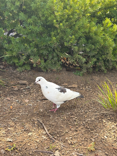
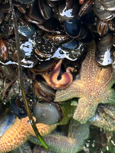
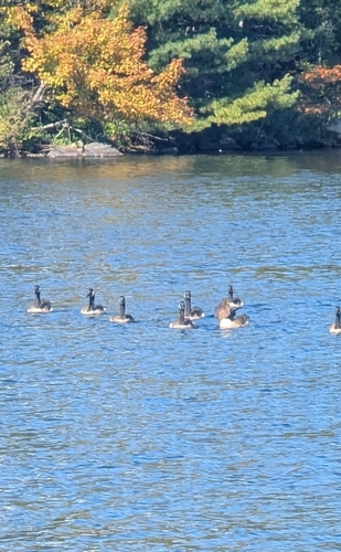
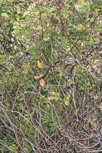
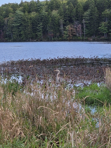
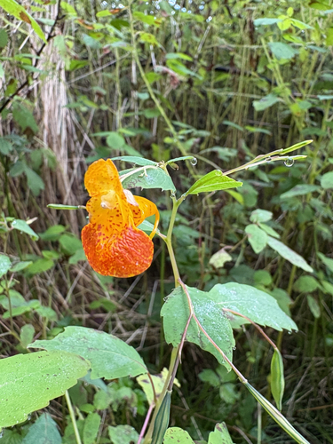
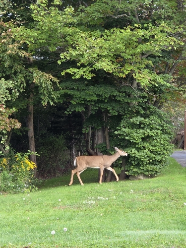
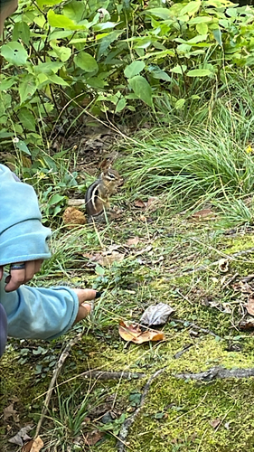
Research-grade observations from iNaturalist (within ~15 mi).
Events
Gallery
Sources
- • Wikipedia
- • iNaturalist
- • Open-Meteo / sunrise-sunset.org
- • Wikipedia Pageviews API
- • Open Library