Browse / Canada / Nova Scotia / East River
East River
Nova Scotiahamlet
Demographic figures from Statistics Canada. Overview below cites Wikipedia and may reference a different year.
City facts
Overview
East River is a hamlet that lies in Nova Scotia, Canada. East River maps to 44.608°, -64.132° — squarely within the temperate belt. Up-to-date population figures for this locality are not available in the open datasets we monitor. Based on its temperate position, residents likely encounter four distinct seasons with warm summers and cold winters. Solar-resource estimates put the area at about 1,287 kWh/m² of solar irradiance per year with sunshine for roughly 50% of daylight hours. Read on for charts and tables covering demographics, climate, hazards, schools, wildlife and other open-data indicators for East River.
Summary composed automatically from structured open data on this page. See our Terms for details.
History & geography
History
Prior to the arrival of Europeans, the land north of the East River was occupied by the Siwanoys, one of many groups of Algonquin-speaking Lenapes in the area. Those of the Lenapes who lived in the northern part of Manhattan Island in a campsite known as Konaande Kongh used a landing at around the current location of East 119th street to paddle into the river in canoes fashioned from tree trunks in order to fish. Dutch settlement of what became New Amsterdam began in 1623. They gathered marsh grass to feed their cattle, and the East River's tides helped to power mills which ground grain to flour. By 1642 there was a ferry running on the river between Manhattan Island and what is now Brooklyn, and the first pier on the river was built in 1647 at Pearl and Broad Streets. After the British took over the colony in 1664, which was renamed "New York", the development of the waterfront continued, and a shipbuilding industry grew up once New York started exporting flour. By the end of the 17th century, the Great Dock, located at Corlear's Hook on the East River, had been built. Historically, the lower portion of the strait, which separates Manhattan from Brooklyn, was one of the busiest and most important channels in the world, particularly during the first three centuries of New York City's history. Because the water along the lower Manhattan shoreline was too shallow for large boats to tie up and unload their goods, from 1686 on – after the signing of the Dongan Charter, which allowed intertidal land to be owned and sold – the shoreline was "wharfed out" to the high-water mark by constructing retaining walls that were filled in with every conceivable kind of landfill: excrement, dead animals, ships deliberately sunk in place, ship ballast, and muck dredged from…
Excerpted from the corresponding Wikipedia article (CC BY-SA).
Geography
Coordinates & boundaries from the US Census TIGER/Line shapefiles.
Climate
Air quality
Walkability
Amenities nearby
Wildlife & biodiversity
Earthquake history
Photos
Sights & places nearby
Notable people from here
Nearby places in Nova Scotia
Geography & sun
Elevation, sunrise/sunset and daylight from Open-Meteo. Solar climatology from NASA POWER.
Nearby airports
Public attention
Pageview totals from the Wikimedia Pageviews API.
Books about East River


Search results from Open Library.
Recent natural events nearby
Ground air-quality sensors
Recently spotted species
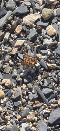
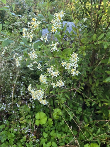

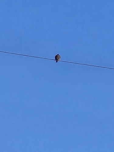
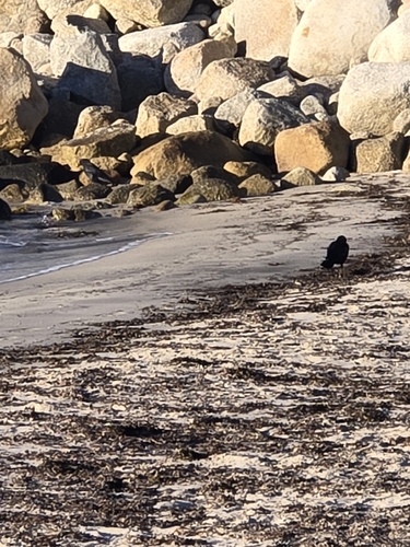
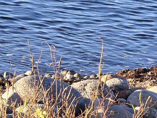
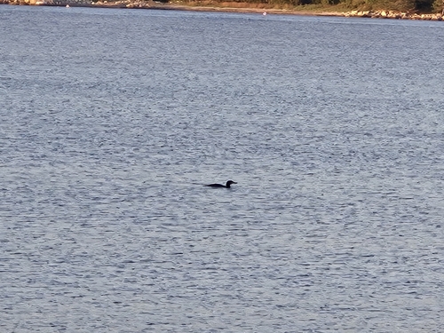
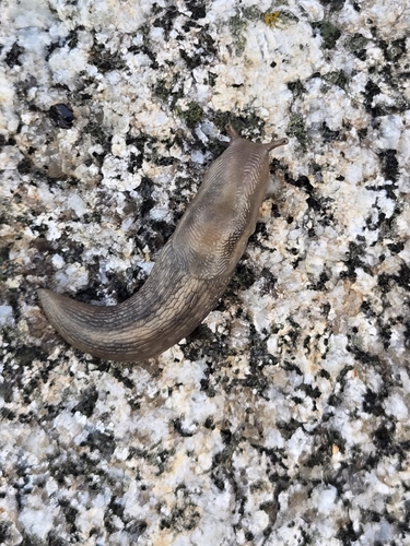
Research-grade observations from iNaturalist (within ~15 mi).
Events
Gallery
Sources
- • Wikipedia
- • iNaturalist
- • Open-Meteo / sunrise-sunset.org
- • Wikipedia Pageviews API
- • Open Library