Browse / Canada / Alberta / Edmonton
Edmonton
Albertacity

Edmonton
Total population
1,010,899
Founded
1795
Air quality index
Demographic figures from Statistics Canada. Overview below cites Wikipedia and may reference a different year.
City facts
Facts from Wikidata (CC0).
Overview
Edmonton is the capital city of the Canadian province of Alberta. It is situated on the North Saskatchewan River and is the centre of the Edmonton Metropolitan Region, which is surrounded by Alberta's central region. Located about 290 kilometres (180 mi) north of Calgary, the city anchors the northern end of what Statistics Canada defines as the "Calgary–Edmonton Corridor".
Read more on WikipediaHistory & geography
History
The earliest known inhabitants arrived in the area that is now Edmonton around 3,000 BC and perhaps as early as 12,000 BC when an ice-free corridor opened as the last glacial period ended and timber, water, and wildlife became available in the region. The site of present-day Edmonton was home to several First Nations peoples, including the Cree, Nakota Sioux, Blackfoot, Tsuut'ina, Ojibwe, and Denesuline. The valley of the North Saskatchewan River, in particular the area of Edmonton, was settled to varying degrees for thousands of years, and provided many essential resources, including fish, medicine, and materials for tool making, such as chert or quartzite, which are abundant in the area around the modern city and which can be easily knapped into tools such as axes, knives, and arrowheads. The city was also a historic site for the Métis, who held many narrow lots along the North Saskatchewan which gave access to resources in the area. By 1882, these lots numbered about 44, after which they were displaced and integrated into the expanding city of Edmonton. In 1754, Anthony Henday, an explorer for the Hudson's Bay Company (HBC), may have been the first European to enter the Edmonton area. His expeditions across the Prairies of Rupert's Land were mainly to seek contact with the Indigenous population for establishing the fur trade, as the competition was fierce between the HBC and the North West Company (NWC). By 1795, Fort Edmonton was established on the river's north bank as a major trading post for the HBC, near the mouth of the Sturgeon River close to present-day Fort Saskatchewan. Fort Edmonton was built within "musket-shot range" of the rival NWC's Fort Augustus. Although both forts were initially successful, declines in beaver pelt hauls and firewood…
Geography
Edmonton is on the North Saskatchewan River, at an elevation of . The terrain in and around Edmonton is generally flat to gently rolling, with ravines and deep river valleys, such as the North Saskatchewan River valley. The Canadian Rockies are west of Edmonton and are about to the southwest. The North Saskatchewan River originates at the Columbia Icefield in Jasper National Park and bisects the city. It sometimes floods Edmonton's river valley, most notably in the North Saskatchewan River flood of 1915. It empties via the Saskatchewan River, Manitoba's Lake Winnipeg, and the Nelson River into Hudson Bay. It runs from the southwest to the northeast and is fed by numerous creeks throughout the city, including Mill Creek, Whitemud Creek and Blackmud Creek; these creeks have created ravines, some of which are used for urban parkland. Edmonton is within the Canadian Prairies Ecozone, southeast of Grande Prairie, west of Lloydminster and the Saskatchewan border, and is roughly 290 kilometres north of Calgary. Aspen parkland surrounds the city and is a transitional area between the prairies in the south and boreal forest in the north. The aspen woods and forests in and around Edmonton have long since been reduced by farming and residential and commercial developments including oil and natural gas exploration. Edmonton has a humid continental climate (Köppen Dfb, Trewartha climate classification Dcbc) with typically cold, dry winters and warm, sunny summers, prone to extremes and large swings at all times of the year. It falls into the NRC 4a Plant Hardiness Zone. Summer in Edmonton lasts from June until early September, while winter lasts from November until March and in common with all of Alberta varies greatly in length and severity. Spring and autumn are both short…
Excerpted from the corresponding Wikipedia article (CC BY-SA).
Geography
Coordinates & boundaries from the US Census TIGER/Line shapefiles.
Climate
10-year averages from ERA5 reanalysis (Open-Meteo).
Air quality
Current readings from Open-Meteo Air Quality API (Copernicus CAMS European reanalysis).
Walkability
Amenities nearby
Wildlife & biodiversity
Most-observed species
- Black-billed MagpiePica hudsonia (Sabine, 1823) · Aves46,386
- Black-capped ChickadeePoecile atricapillus (Linnaeus, 1766) · Aves39,665
- House SparrowPasser domesticus (Linnaeus, 1758) · Aves30,902
- American CrowCorvus brachyrhynchos C.L.Brehm, 1822 · Aves30,659
- MallardAnas platyrhynchos Linnaeus, 1758 · Aves24,916
- Blue JayCyanocitta cristata (Linnaeus, 1758) · Aves23,544
- House FinchHaemorhous mexicanus (P.L.Statius Müller, 1776) · Aves23,381
- Canada Goose (canadensis Group)Branta canadensis (Linnaeus, 1758) · Aves21,972
Citizen-science & research observations from the Global Biodiversity Information Facility (GBIF).
Earthquake history
Most recent
- M 3.9 — 2026-05-0915 km SSW of Smoky Lake, Canada
- M 4.3 — 2026-04-0110 km N of Bon Accord, Canada
Events from the USGS Earthquake Catalog (global) (FDSN Event Web Service).
Photos
Sights & places nearby
Notable people from here


People born within ~10 km, from Wikidata (CC0). Click any name for their Wikipedia article.
Nearby places in Alberta
- Namao11.7 mi away
- Ardrossan14.3 mi away · pop. 412
- Collingwood Cove21 mi away
- Scotford Hutterite Colony22.3 mi away
- Morinville Hutterite Colony26.8 mi away
- Hay Lakes30.1 mi away
- Busby32.3 mi away · pop. 140
- Tofield36 mi away
- Keephills36 mi away
- Egremont37.1 mi away · pop. 42
- Sunnybrook38 mi away
- Pickardville38.3 mi away
Geography & sun
Elevation, sunrise/sunset and daylight from Open-Meteo. Solar climatology from NASA POWER.
Nearby airports
Public attention
Pageview totals from the Wikimedia Pageviews API.
Books about Edmonton


Search results from Open Library.
Recent natural events nearby
Ground air-quality sensors
Recently spotted species
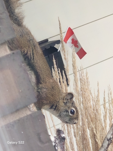
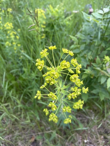
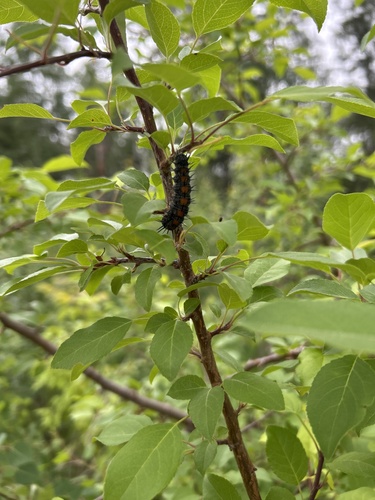
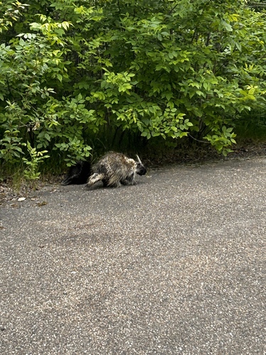
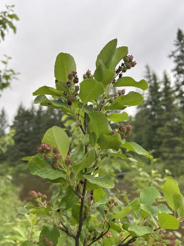
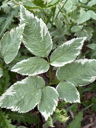
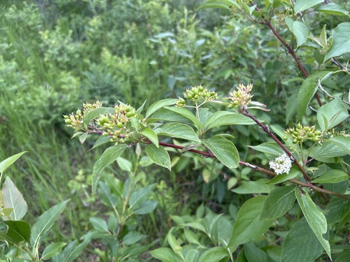
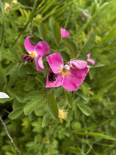
Research-grade observations from iNaturalist (within ~15 mi).
Events
Notable, recurring, and historical events associated with Edmonton, sourced from Wikidata.
- Jan 1, 2001
- 2001 World Championships in Athletics – men's 100 metresJan 1, 2001sporting event
- Jan 1, 2001
- 2001 World Championships in Athletics – men's 200 metresJan 1, 2001sporting event
- Jan 1, 2001
- Jan 1, 2001
- 2001 World Championships in Athletics – men's decathlonJan 1, 2001sporting event
- Jan 1, 2001
- Jan 1, 2001
- Jan 1, 2001
- Jan 1, 2001
- Jan 1, 2001
- 2001 World Championships in Athletics – men's high jumpJan 1, 2001sporting event
- Jan 1, 2001
- Jan 1, 2001
- Jan 1, 2001
- Jan 1, 2001
- Jan 1, 2001
- Jan 1, 2001
- Jan 1, 2001
Source: Wikidata (CC0).
Gallery
Geotagged photos within ~6 miles of Edmonton, from Wikimedia Commons contributors.


.jpg)
.jpg)
.jpg)
.jpg)
_(39057462794).jpg)
.jpg)
.jpg)
.jpg)
.jpg)

_(46720462395).jpg)
.jpg)
.jpg)
.jpg)
.jpg)
.jpg)
.jpg)
.jpg)
.jpg)
.jpg)
.jpg)
Photos via Wikimedia Commons — see each image page for license & attribution.
Official Identifiers
StatCan — Statistics Canada
- SGC code
- 4811061
- Population (Wikidata)
- 1,010,899
- Wikidata
- Q2096
Standard Geographical Classification (SGC) via Wikidata P3012
Sources
- • Wikipedia
- • Open-Meteo (ERA5 reanalysis)
- • Wikimedia Commons
- • Wikidata
- • Open-Meteo Air Quality (CAMS)
- • USGS Earthquake Catalog (global feed)
- • GBIF (Global Biodiversity Information Facility)
- • iNaturalist
- • Open-Elevation
- • Open-Meteo / sunrise-sunset.org
- • Wikipedia Pageviews API
- • Open Library
- • StatCan — Statistics Canada — Standard Geographical Classification (SGC) via Wikidata P3012