Browse / Canada / Alberta / Edson
Edson
Albertatown

Edson
Total population
8,414
Demographic figures from Statistics Canada. Overview below cites Wikipedia and may reference a different year.
City facts
Facts from Wikidata (CC0).
Overview
Edson is a town in west-central Alberta, Canada. It is located in Yellowhead County, 192 kilometres (119 mi) west of Edmonton along the Yellowhead Highway and 10 kilometres (6.2 mi) east of the intersection with Highway 47.
Read more on WikipediaHistory & geography
History
The town was founded as Heatherwood, but the name was changed around 1911 in honour of Edson Joseph Chamberlin, vice-president of the Grand Trunk Pacific Railway. When Edson was declared the local rail centre, smaller communities such as Rosevear (abandoned), Wolf Creek, Carrot Creek and Niton Junction fell into a decline that continues today. In the 1950s, upgrading of Highway 16 caused a dramatic increase in private, commercial and industrial traffic. Today, the Yellowhead Highway carries some of the heaviest traffic flow in Alberta and has been declared the second Trans-Canada Highway. In the 1970s, a revitalized coal industry launched the Cardinal River Coal and Luscar Sterco mines in the area. In the 1980s Pelican Spruce Mills (now Weyerhaeuser Company Limited) and Sundance Forest Industries (now Edson Forest Products a division of West Fraser Timber) became two of Edson's major employers. The former hamlets of Glenwood and Grande Prairie Trail were annexed from Yellowhead County by the Town of Edson on 1 January 1984. In 2023, Edson was evacuated twice due to wildfires and later declared a local state of emergency due to floods.
Geography
Edson lies in the McLeod River valley, immediately east of the Canadian Rockies foothills. The surrounding landscape consists of primarily taiga forest with sand hills and muskeg. The town is located at an altitude of . Two provincial parks are located west of Edson: Sundance Provincial Park along Sundance Creek and Obed Lake Provincial Park surrounding the three Obed Lakes. Due to Edson's high elevation, the community experiences a subarctic climate (Köppen climate classification Dfc). The highest temperature ever recorded in Edson was on 30 June 2021, with the humidex reaching 41. | date = August 2010 }}
Excerpted from the corresponding Wikipedia article (CC BY-SA).
Geography
Coordinates & boundaries from the US Census TIGER/Line shapefiles.
Climate
Air quality
Walkability
Amenities nearby
Wildlife & biodiversity
Earthquake history
Photos
Sights & places nearby
Notable people from here
People born within ~10 km, from Wikidata (CC0). Click any name for their Wikipedia article.
Nearby places in Alberta
Geography & sun
Elevation, sunrise/sunset and daylight from Open-Meteo. Solar climatology from NASA POWER.
Nearby airports
Public attention
Pageview totals from the Wikimedia Pageviews API.
Books about Edson


Search results from Open Library.
Recent natural events nearby
Ground air-quality sensors
Recently spotted species
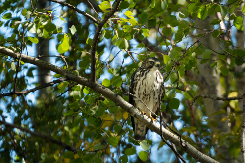
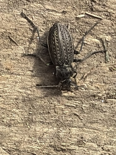
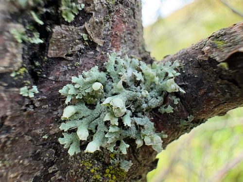
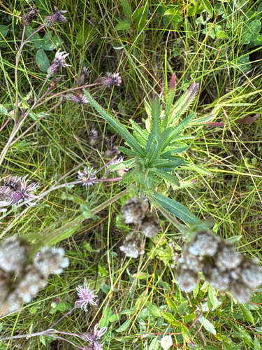
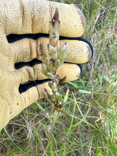
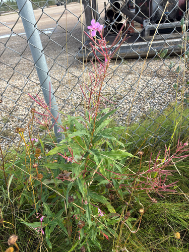
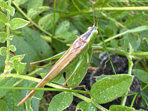
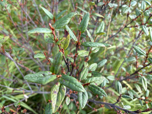
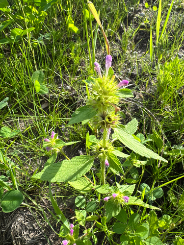
Research-grade observations from iNaturalist (within ~15 mi).
Events
Gallery
Official Identifiers
StatCan — Statistics Canada
- SGC code
- 4814024
- Population (Wikidata)
- 8,374
- Wikidata
- Q493025
Standard Geographical Classification (SGC) via Wikidata P3012
Sources
- • Wikipedia
- • Wikidata
- • iNaturalist
- • Open-Meteo / sunrise-sunset.org
- • Wikipedia Pageviews API
- • Open Library
- • StatCan — Statistics Canada — Standard Geographical Classification (SGC) via Wikidata P3012