Browse / Canada / Alberta / Egremont
Egremont
Albertavillage
Total population
42
Demographic figures from Statistics Canada. Overview below cites Wikipedia and may reference a different year.
City facts
Overview
Egremont is a hamlet in central Alberta, Canada within Thorhild County. It is located 2 kilometres (1.2 mi) north of Highway 28, approximately 37 kilometres (23 mi) north of Fort Saskatchewan. It is named after Egremont, Cumbria.
Read more on WikipediaHistory & geography
Geography
Coordinates & boundaries from the US Census TIGER/Line shapefiles.
Climate
Air quality
Walkability
Amenities nearby
Wildlife & biodiversity
Earthquake history
Photos
Sights & places nearby
Notable people from here


People born within ~10 km, from Wikidata (CC0). Click any name for their Wikipedia article.
Nearby places in Alberta
- Thorhild8.4 mi away · pop. 391
- Skywest Hutterite Colony14.8 mi away
- Scotford Hutterite Colony19.6 mi away
- Newbrook21.3 mi away · pop. 95
- St. Michael24.7 mi away
- Namao26.8 mi away
- Rochester26.8 mi away
- Smoky Lake Hutterite Colony27.1 mi away
- Alpen Siding27.8 mi away
- Westlock30.5 mi away · pop. 5,101
- Pickardville30.6 mi away
- Morinville Hutterite Colony31.5 mi away
Geography & sun
Elevation, sunrise/sunset and daylight from Open-Meteo. Solar climatology from NASA POWER.
Nearby airports
Public attention
Pageview totals from the Wikimedia Pageviews API.
Books about Egremont

Search results from Open Library.
Recent natural events nearby
Ground air-quality sensors
Recently spotted species




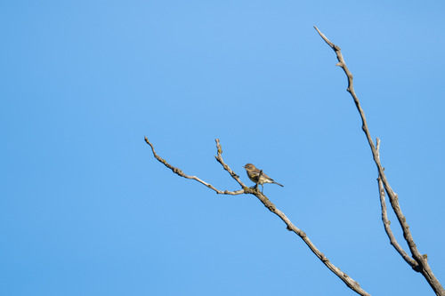
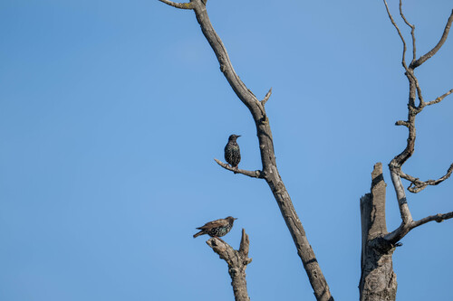

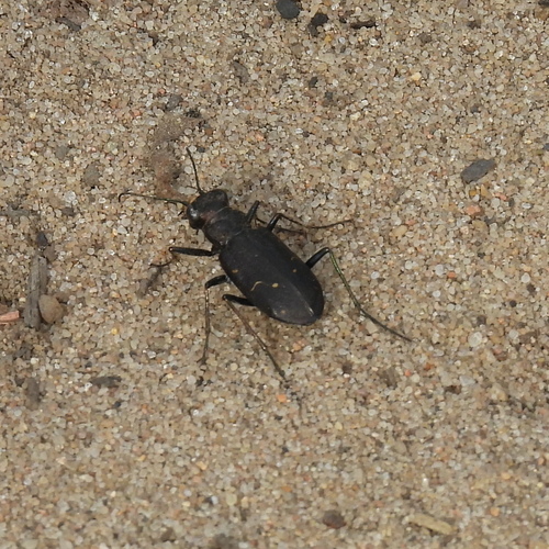
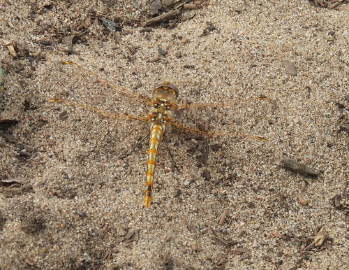
Research-grade observations from iNaturalist (within ~15 mi).
Events
Gallery
Sources
- • Wikipedia
- • Wikidata
- • iNaturalist
- • Open-Elevation
- • Open-Meteo / sunrise-sunset.org
- • Wikipedia Pageviews API
- • Open Library