Browse / Canada / British Columbia / Eholt
Eholt
British Columbiahamlet
Demographic figures from Statistics Canada. Overview below cites Wikipedia and may reference a different year.
City facts
Overview
Eholt is in the Boundary Country region of south central British Columbia. This ghost town, on BC Highway 3, is by road about 27 kilometres (17 mi) northwest of Grand Forks and 14 kilometres (9 mi) northeast of Greenwood.
Read more on WikipediaHistory & geography
Geography
Coordinates & boundaries from the US Census TIGER/Line shapefiles.
Climate
Air quality
Walkability
Amenities nearby
Wildlife & biodiversity
Earthquake history
Photos
Sights & places nearby
Notable people from here
Geography & sun
Elevation, sunrise/sunset and daylight from Open-Meteo. Solar climatology from NASA POWER.
Nearby airports
Public attention
Pageview totals from the Wikimedia Pageviews API.
Books about Eholt

Search results from Open Library.
Recent natural events nearby
- Wildfire HUDSPETH, Stevens, WashingtonWildfires · 2026-08-01 · 76 mi
- Wildfire MITRE ROCK, Stevens, WashingtonWildfires · 2026-08-01 · 86 mi
- Wildfire Parker Lake, Boundary, IdahoWildfires · 2026-08-23 · 90 mi
- Wildfire Silver, Boundary, IdahoWildfires · 2026-08-23 · 94 mi
- Wildfire AUTUMN LANE, Spokane, WashingtonWildfires · 2026-08-01 · 103 mi
- Wildfire FAIRVIEW, Spokane, WashingtonWildfires · 2026-08-01 · 111 mi
- Wildfire OLD TRAILS, Spokane, WashingtonWildfires · 2026-08-01 · 112 mi
- Wildfire SISI, Chelan, WashingtonWildfires · 2026-08-14 · 117 mi
Wildfires, storms and other events from NASA EONET (last 12 months, within 250 mi).
Ground air-quality sensors
Recently spotted species
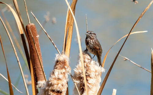
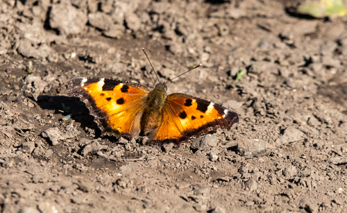
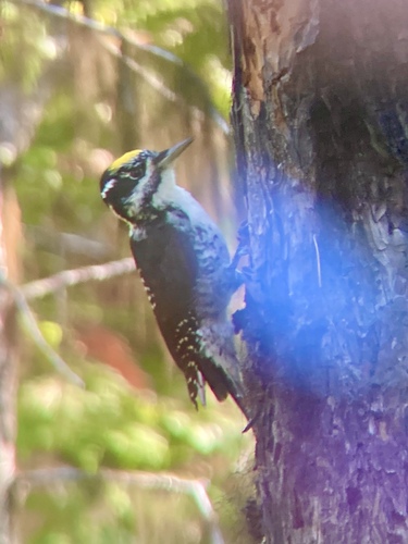
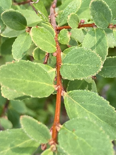
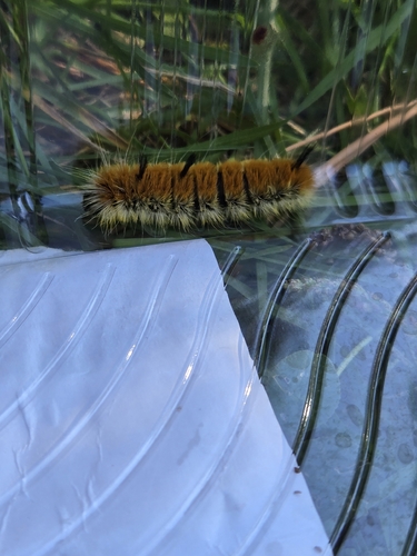
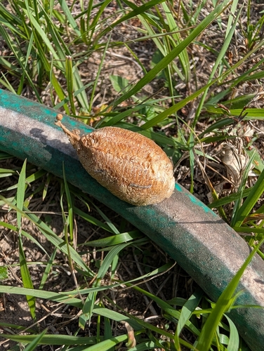
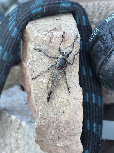
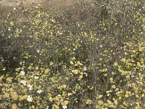
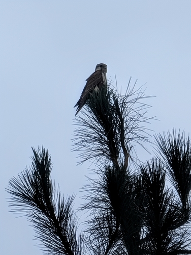
Research-grade observations from iNaturalist (within ~15 mi).
Events
Gallery
Sources
- • Wikipedia
- • iNaturalist
- • Open-Meteo / sunrise-sunset.org
- • Wikipedia Pageviews API
- • Open Library
- • NASA EONET