Browse / Canada / Quebec / Ekuanitshit - Mingan
Ekuanitshit - Mingan
Quebecvillage
Total population
409
Demographic figures from Statistics Canada. Overview below cites Wikipedia and may reference a different year.
City facts
Facts from Wikidata (CC0).
Overview
Mingan, also known as Ekuanitshit in Innu-aimun, is an Innu First Nations reserve, at the mouth of the Mingan River, on Mingan Bay, on the North shore of the Gulf of St. Lawrence. It belongs to the Innu band of Ekuanitshit, geographically it is within Cote-Nord region, Minganie Regional County Municipality, Quebec, Canada.
Read more on WikipediaHistory & geography
History
Historically, the region was the homeland of the Innu people, who came there from their inland hunting grounds to spend the summer on the coast. Mingan was a summer gathering site where the Innu would fish for salmon, hunt for whale, have family meetings, and trade with each other. In 1661 the Mingan Seignory was granted and Europeans began to settle in the area, marking the beginnings of the fur trade, which continued until the early 20th century. The North West Company and then the Hudson's Bay Company (from 1807 to 1873) maintained trading posts there under the name Mingan, which were frequently visited by Innu to trade furs, although they continued to stay there during the summers only. The Innu's nomadic way of life was disrupted during World War II, as mining and forestry companies moved into the area. After the war, mandatory education, fluctuating fur prices, and government housing programs led the Innu to settle permanently there.
Geography
The reserve is accessible via Quebec Route 138, east of the village of Longue-Pointe-de-Mingan and west of downtown Havre-Saint-Pierre. It is serviced by a health centre, community radio station, library, cultural centre, community store, municipal water and sewer system, fire station, and an aboriginal police force. The name Mingan, already appearing as mican on a map of 1631, is generally considered to originate from the Innu word maikan, meaning "timber wolf". But there is no certainty over this interpretation. It has also been proposed that it may have come from the Basque word mingain meaning "language", or the Breton term menguen that translates as "white stone".
Excerpted from the corresponding Wikipedia article (CC BY-SA).
Geography
Coordinates & boundaries from the US Census TIGER/Line shapefiles.
Climate
Air quality
Walkability
Amenities nearby
Wildlife & biodiversity
Earthquake history
Photos
Sights & places nearby
Notable people from here


People born within ~10 km, from Wikidata (CC0). Click any name for their Wikipedia article.
Geography & sun
Elevation, sunrise/sunset and daylight from Open-Meteo. Solar climatology from NASA POWER.
Nearby airports
Public attention
Pageview totals from the Wikimedia Pageviews API.
Books about this place
Recent natural events nearby
Ground air-quality sensors
Recently spotted species
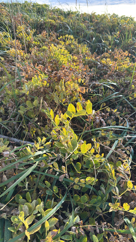
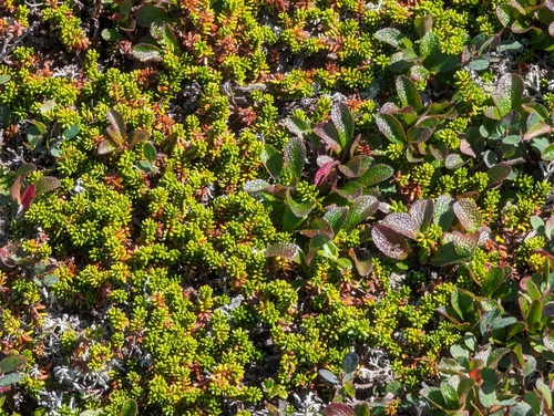
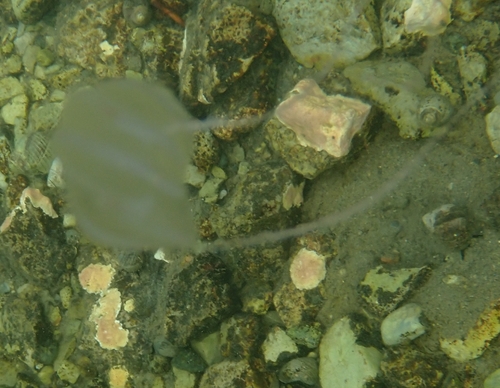
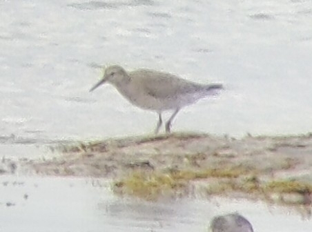
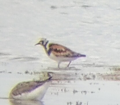
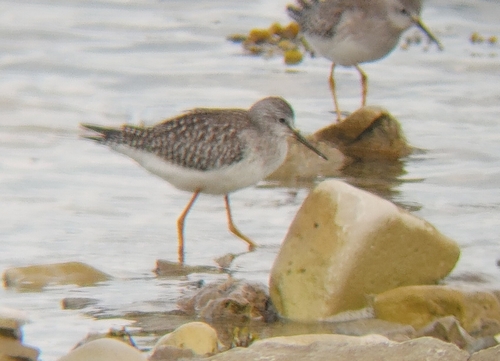
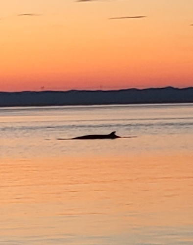
Research-grade observations from iNaturalist (within ~15 mi).
Events
Gallery
Sources
- • Wikipedia
- • Wikidata
- • iNaturalist
- • Open-Meteo / sunrise-sunset.org
- • Wikipedia Pageviews API