Browse / Canada / Ontario / Elliot Lake
Elliot Lake
Ontariocity

Elliot Lake
Total population
11,348
Founded
1955
Demographic figures from Statistics Canada. Overview below cites Wikipedia and may reference a different year.
City facts
Facts from Wikidata (CC0).
Overview
Elliot Lake is a city in Algoma District, Ontario, Canada. It is north of Lake Huron, midway between the cities of Sudbury and Sault Ste. Marie in the Northern Ontario region. Once dubbed the "uranium capital of the world," Elliot Lake has since diversified to a hub for advanced manufacturing, forest harvesting, mine reclamation expertise, retirement living, all-season tourism and remote work. The nearby Mississagi Provincial Park is one of only ten operating parks in Ontario with back country hiking and camping, and is the eighth-largest hiking network in Ontario among all operating parks.
Read more on WikipediaHistory & geography
History
Prior to the settlement of the city, a seasonal Ojibwa village extended along the lake's shoreline near the present hospital. The town takes its name from the lake. There is no official record of origin of name; the earliest appearance is on the Dominion map of 1901. Folklore suggest it was named for a logging camp cook who drowned in the lake. The townsite name was approved on August 14, 1952. Elliot Lake was incorporated as a city in 1990. The city was established as a planned community for the mining industry in 1955 after the discovery of uranium in the area, and named after the small lake on its northern edge. By the late 1950s, its population had grown to about 25,000. It was originally incorporated as an improvement district. Geologist Franc Joubin and American financier Joseph Hirshhorn were instrumental in its founding. The principal mining companies were Denison Mines and Rio Algom. The population has varied with several boom-and-bust cycles from the 1950s to the 1990s, from a high of over 26,000 to a low of about 6,600. By 1958 it was apparent that world production of uranium was far outstripping demand and Canadian producers received unofficial notice that US options on Canadian uranium production between 1962 and 1966 would not be exercised. This was confirmed in 1959. During the 1970s, federal plans for CANDU Reactors and Ontario Hydro's interest in atomic energy led the town, anticipating a population of 30,000, to expand again. However, by the early 1990s depleted reserves and low prices caused the last mines in the area to close. * Stanleigh Mine (1956–1960 and 1982–1997), operated by Rio Algom Ltd., produced 14 million tons of ore. * Spanish American Mine (1957–1959), operated by Rio Algom Ltd., produced 79,000 tons of ore. * Can-Met Mine…
Excerpted from the corresponding Wikipedia article (CC BY-SA).
Geography
Coordinates & boundaries from the US Census TIGER/Line shapefiles.
Climate
Air quality
Walkability
Amenities nearby
Wildlife & biodiversity
Earthquake history
Photos
Sights & places nearby
Notable people from here


People born within ~10 km, from Wikidata (CC0). Click any name for their Wikipedia article.
Nearby places in Ontario
- Serpent River12.3 mi away
- Algoma Mills15.2 mi away
- Blind River19.3 mi away
- Iron Bridge27.8 mi away
- Sheshegwaning31.6 mi away · pop. 113
- Kagawong37.3 mi away
- Aundeck Omni Kaning42.5 mi away · pop. 365
- Thessalon43.9 mi away
- Little Current44.1 mi away
- M’Chigeeng44.5 mi away
- Whitefish Falls47.7 mi away · pop. 297
- Mindemoya50 mi away
Geography & sun
Elevation, sunrise/sunset and daylight from Open-Meteo. Solar climatology from NASA POWER.
Nearby airports
Public attention
Pageview totals from the Wikimedia Pageviews API.
Books about Elliot Lake
Search results from Open Library.
Recent natural events nearby
Ground air-quality sensors
Recently spotted species
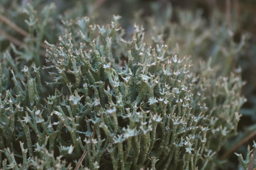
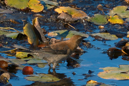
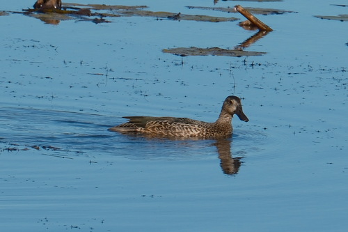
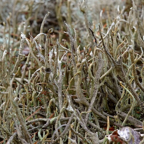
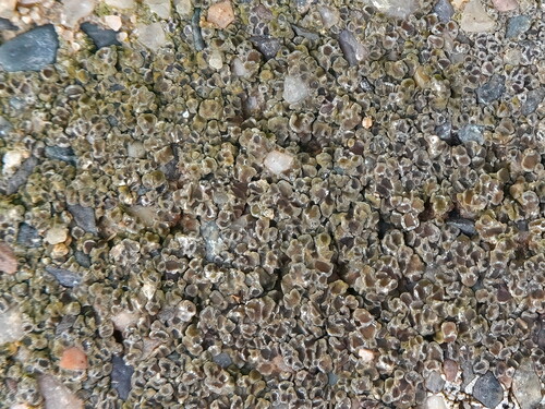
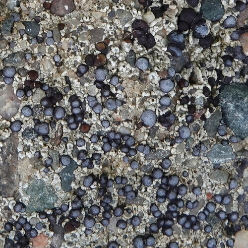
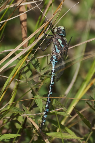
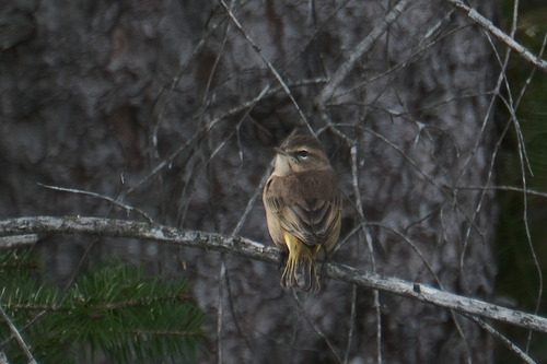
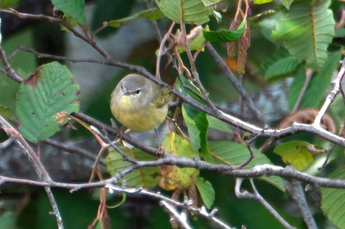
Research-grade observations from iNaturalist (within ~15 mi).
Events
Gallery
Official Identifiers
StatCan — Statistics Canada
- SGC code
- 3557041
- Population (Wikidata)
- 10,741
- Wikidata
- Q2729034
Standard Geographical Classification (SGC) via Wikidata P3012
Sources
- • Wikipedia
- • Wikidata
- • iNaturalist
- • Open-Meteo / sunrise-sunset.org
- • Wikipedia Pageviews API
- • Open Library
- • StatCan — Statistics Canada — Standard Geographical Classification (SGC) via Wikidata P3012