Browse / Canada / Manitoba / Emerson
Emerson
Manitobavillage
Total population
671
Founded
1879
Demographic figures from Statistics Canada. Overview below cites Wikipedia and may reference a different year.
City facts
Facts from Wikidata (CC0).
Overview
Emerson is an unincorporated community recognized as a local urban district (LUD) in south central Manitoba, Canada, located within the Municipality of Emerson – Franklin. It has a population of 660 as of the 2021 Canada census.
Read more on WikipediaHistory & geography
History
In 1873, American businessmen Thomas Carney and William Fairbanks, following advice from railroad entrepreneur James J. Hill, received a grant from the province of Manitoba for along the east side of the Red River near the Canada–United States border. Hill had advised Carney and Fairbanks that the area had significant potential to become a railway hub for the region. The existing settlement of West Lynne on the west side of the river had already established itself as a key point along the trading routes between Winnipeg and St. Paul, Minnesota. With the emergence of railways during this time, the addition of their own railway would bring great economic prosperity. In 1874, the two men led a group of 100 who formed the new settlement of Emerson, which was named after writer and poet Ralph Waldo Emerson. With the promise that Emerson could be the new "gateway to the west", the settlement grew quickly and, by 1876, a church and a school were built. Today, Emerson has a population just under 700. The community still attracts many visitors each year who pass through the Port of Entry at Emerson. There are still some landmarks remaining from Emerson's "golden age", such as the courthouse, jail, and home of William Fairbanks, as well as the West Lynne post office and original customs house. The courthouse, which is designated as a historical landmark, is still in use today. A post office, telegraph station, and customs house were soon constructed at West Lynne, making it a key point along the Red River trade routes for both river and land traffic. Fort Dufferin is best known as the starting point for the North-West Mounted Police's March West in 1874. This marked the only time the entire force was ever assembled at one place. Today, the Fort Dufferin site is owned by…
Excerpted from the corresponding Wikipedia article (CC BY-SA).
Geography
Coordinates & boundaries from the US Census TIGER/Line shapefiles.
Climate
Air quality
Walkability
Amenities nearby
Wildlife & biodiversity
Earthquake history
Photos
Sights & places nearby
Notable people from here
Nearby places in Manitoba
- Halbstadt7.8 mi away
- Dominion City9.7 mi away
- Ridgeville9.8 mi away
- Letellier9.9 mi away
- Ridgeville Hutterite Colony10.8 mi away
- Edenburg12.9 mi away
- Neubergthal13.2 mi away
- Glenway Hutterite Colony13.3 mi away
- Avonlea Hutterite Colony14.4 mi away
- Altona17.2 mi away · pop. 4,123
- Arnaud17.6 mi away
- Albergthal19.2 mi away
Geography & sun
Elevation, sunrise/sunset and daylight from Open-Meteo. Solar climatology from NASA POWER.
Nearby airports
Public attention
Pageview totals from the Wikimedia Pageviews API.
Books about Emerson

Search results from Open Library.
Recent natural events nearby
Ground air-quality sensors
Recently spotted species
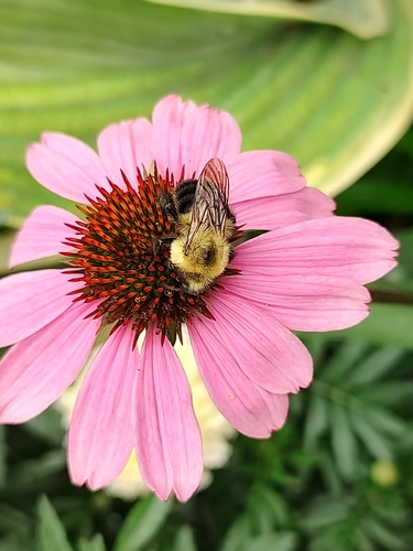
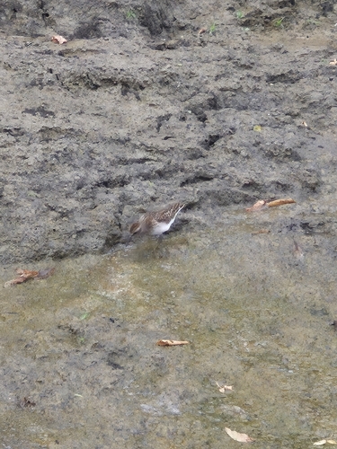
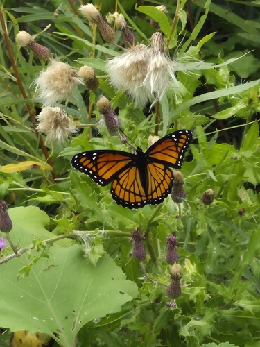
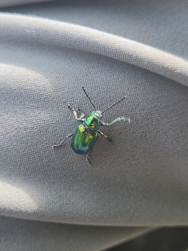
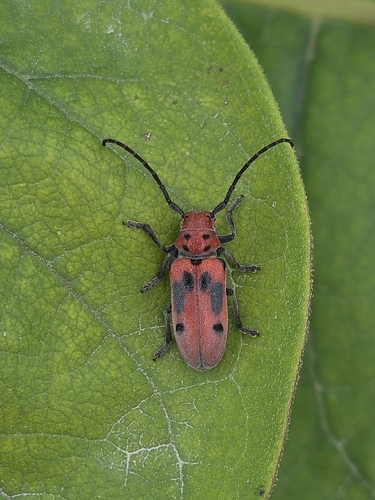
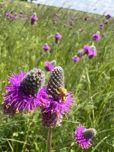
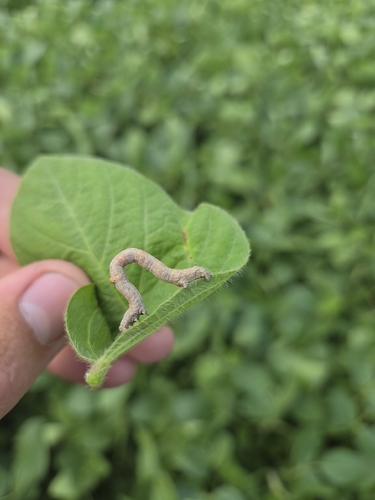
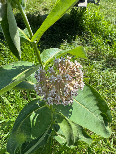
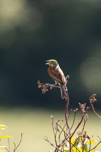
Research-grade observations from iNaturalist (within ~15 mi).
Events
Gallery
Sources
- • Wikipedia
- • Wikidata
- • iNaturalist
- • Open-Meteo / sunrise-sunset.org
- • Wikipedia Pageviews API
- • Open Library