Browse / Canada / Ontario / Englehart
Englehart
Ontariotown

Englehart
Demographic figures from Statistics Canada. Overview below cites Wikipedia and may reference a different year.
City facts
Facts from Wikidata (CC0).
Overview
Englehart is a town in the Canadian province of Ontario, located on the Englehart River in the Timiskaming District. The Kap-Kig-Iwan Provincial Park is located near the town.
Read more on WikipediaHistory & geography
History
The Town of Englehart was founded when the Temiskaming and Northern Ontario Railway (T & NO) was built through the area in the early 1900s, and named after Chairman Jacob Lewis Englehart. It was incorporated as the Town of Englehart in January 1908, as a half-way divisional point between North Bay and what became Cochrane, where the T & NO Railway met with the new National Transcontinental Railway line (now the CNR) being built west from Quebec City across the north to the Western Provinces, creating the town of Cochrane. In 1905, Jacob Lewis Englehart, from Ohio, became a key figure in the development of the railway north of North Bay in Ontario. A successful businessman from Petrolia, Ontario, nearing the current age of retirement, he was appointed in 1905, by the Premier of Ontario, to the Ontario Commission in charge of building and operating the T & NO, which would, about 1945, become the Ontario Northland Railway. He served as Chairman of a new 3-man Commission from 1906 until the fall of 1919, when he retired after the United Farmers of Ontario won their first and only four-year term in the Province of Ontario. He died at York, now Toronto, in 1921 and was buried at Petrolia. The new community of Englehart began to take shape with the construction of the line's first major bridge at the Charlton branch of Blanche River (Initially, there was a construction site for a high level trestle known as Blanche River Crossing, which opened in 1906. The Commission decided to develop a planned town on the west side of the river, from 1906-1908, as a half-way divisional point on the railway. The railway was particularly central to the settlement and development of New Ontario (now N.E. Ont.); that is, until the first gravel road,(the Ferguson Highway, now part of…
Excerpted from the corresponding Wikipedia article (CC BY-SA).
Geography
Coordinates & boundaries from the US Census TIGER/Line shapefiles.
Climate
Air quality
Walkability
Amenities nearby
Wildlife & biodiversity
Earthquake history
Photos
Sights & places nearby
Notable people from here
Nearby places in Ontario
Geography & sun
Elevation, sunrise/sunset and daylight from Open-Meteo. Solar climatology from NASA POWER.
Nearby airports
Public attention
Pageview totals from the Wikimedia Pageviews API.
Books about Englehart
Search results from Open Library.
Recent natural events nearby
Ground air-quality sensors
Recently spotted species

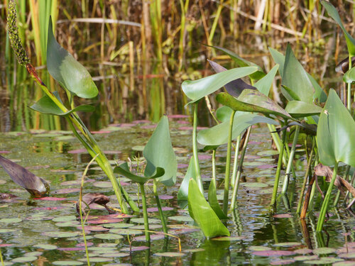
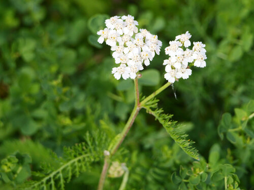
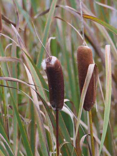

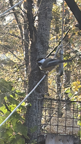
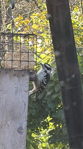

Research-grade observations from iNaturalist (within ~15 mi).
Events
Gallery
Official Identifiers
StatCan — Statistics Canada
- SGC code
- 3554052
- Wikidata
- Q3054292
Standard Geographical Classification (SGC) via Wikidata P3012
Sources
- • Wikipedia
- • Wikidata
- • iNaturalist
- • Open-Meteo / sunrise-sunset.org
- • Wikipedia Pageviews API
- • Open Library
- • StatCan — Statistics Canada — Standard Geographical Classification (SGC) via Wikidata P3012