Browse / United States / California / Escalon
Escalon
Californiacity

Escalon
Total population
7,451
Median home value
$471,200
Bachelor's+
Median income
$81,467
Founded
1957
Demographic figures from US Census Bureau · ACS 5-year estimates. Overview below cites Wikipedia and may reference a different year.
- Heat Advisory · ModerateHeat Advisory issued October 1 at 9:34AM PDT until October 5 at 10:00PM PDT by NWS Sacramento CA
Source: NOAA National Weather Service.
City facts
Facts from Wikidata (CC0).
Overview
Escalon is a city in San Joaquin County, California, United States. The population was 7,472 at the 2020 census, up from 7,132 at the 2010 census and 5,963 at the 2000 census. Escalon is a Spanish word meaning "stepping stones." Founder John Wheeler Jones is said to have come upon the name in a book in the Stockton Free Library and liked it so much that he gave it to the town.
Read more on WikipediaHistory & geography
History
Before the advent of the railroad, the traveler in riding over the French Camp road to the Stanislaus River would notice far out on the plains a large two-story brick house. It was surrounded by trees and shrubs, barns, granaries, and was the only house for miles around. It was the home of "Johnny" Jones, who crossed the plains in 1852 and pitched his tent where Escalon now stands, the country at that time being Government land covered with sage brush. He acquired the amount of land allotted to settlers and started to farm it, planting the first grain ever grown in the Escalon country. He seeded it by broadcast and dragged it in with brush. The yield was heavy and sold for five cents a pound. He began raising cattle for market and purchased more land until he owned 8,000 acres, a tract more than three miles square. Six to twelve-horse teams were used to plow the fields where Escalon was later developed. In 1867 Jones built his brick house on the prairie, at a cost of $12,000. His brother Richard made the bricks from a field east of Sexton station. In those days all freight carried from Stockton to the mines above Sonora went via the French Camp road, and many of the teamsters boarded and lodged at his farm. The plains were the homes of many antelope, which Jones often served on his table. Escalon is a Spanish word meaning stepping stones. James W. Jones, the founder of the town, is said to have seen the name in a book in the Stockton Free Library and gave it to the town because he liked it. His father died in 1893, leaving quite a fortune. He willed the old home place to James W., together with the adjoining 1,000 acres. The land was not of any great value, but became more valuable the following year with the construction of the Valley Railroad, whose owners planned…
Geography
Escalon is located at 37°47.5'N 120°59.5'W (37.7984,-120.9969), where State Highway 120 crosses the BNSF railroad. According to the United States Census Bureau, the city has a total area of . of it is land and 2.87% is water.
Excerpted from the corresponding Wikipedia article (CC BY-SA).
Demographics & economy
Race & ethnicity
Source: US Census Bureau — American Community Survey, 5-year estimates.
Geography
Coordinates & boundaries from the US Census TIGER/Line shapefiles.
Climate
10-year averages from ERA5 reanalysis (Open-Meteo).
Current forecast
Forecast for Escalon, CA from NOAA NWS API.
Air quality
Industrial & pollution facilities
Natural hazard risk
Health (adults)
Walkability
Amenities nearby
Wildlife & biodiversity
Most-observed species
- California/Woodhouse's Scrub-JayAphelocoma californica (Vigors, 1839) · Aves6,086
- House FinchHaemorhous mexicanus (P.L.Statius Müller, 1776) · Aves5,051
- European StarlingSturnus vulgaris Linnaeus, 1758 · Aves4,691
- Black PhoebeSayornis nigricans (Swainson, 1827) · Aves4,617
- Mourning DoveZenaida macroura (Linnaeus, 1758) · Aves4,563
- Lesser GoldfinchSpinus psaltria (Say, 1822) · Aves4,024
- Anna's HummingbirdCalypte anna (R.Lesson, 1829) · Aves3,967
- Northern MockingbirdMimus polyglottos (Linnaeus, 1758) · Aves3,952
Citizen-science & research observations from the Global Biodiversity Information Facility (GBIF).
Schools
Earthquake history
Most recent
- M 2.62 — 2026-09-1721 km E of Alum Rock, CA
- M 2.99 — 2026-09-149 km SW of Brentwood, CA
- M 2.55 — 2026-09-139 km SW of Brentwood, CA
- M 3.36 — 2026-09-129 km SW of Brentwood, CA
- M 2.55 — 2026-08-172 km SE of Concord, CA
- M 2.92 — 2026-07-3111 km ESE of Gilroy, CA
Events from the USGS Earthquake Catalog (global) (FDSN Event Web Service).
Photos
Sights & places nearby
Notable people from here


People born within ~10 km, from Wikidata (CC0). Click any name for their Wikipedia article.
Nearby places in California
Geography & sun
Elevation, sunrise/sunset and daylight from Open-Meteo. Solar climatology from NASA POWER.
Nearby airports
Public attention
Pageview totals from the Wikimedia Pageviews API.
Books about Escalon


Search results from Open Library.
Recent natural events nearby
- Wildfire GANN, Calaveras, CaliforniaWildfires · 2026-08-03 · 25 mi
- Wildfire DOME, Mariposa, CaliforniaWildfires · 2026-09-15 · 77 mi
- Wildfire Timber, Monterey, CaliforniaWildfires · 2026-08-09 · 116 mi
- Wildfire FLORISTON, Nevada, CaliforniaWildfires · 2026-09-16 · 123 mi
- Wildfire Plaskett, Monterey, CaliforniaWildfires · 2026-08-26 · 132 mi
- Wildfire Hawk, Washoe, NevadaWildfires · 2026-08-22 · 134 mi
- Wildfire Hawk, Washoe, NevadaWildfires · 2026-08-22 · 134 mi
- Prescribed Fire CRAWFORD CORRAL RX, Tulare, CaliforniaWildfires · 2026-09-19 · 139 mi
Wildfires, storms and other events from NASA EONET (last 12 months, within 250 mi).
Ground air-quality sensors
Recently spotted species
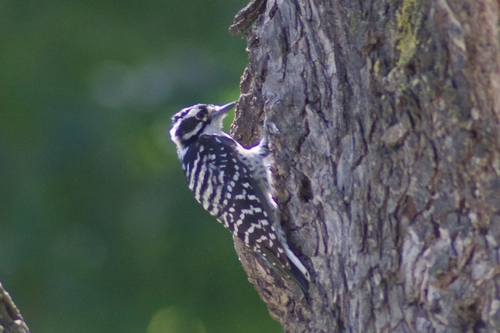
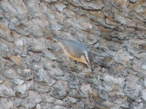
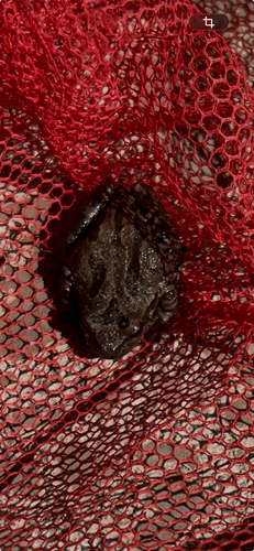
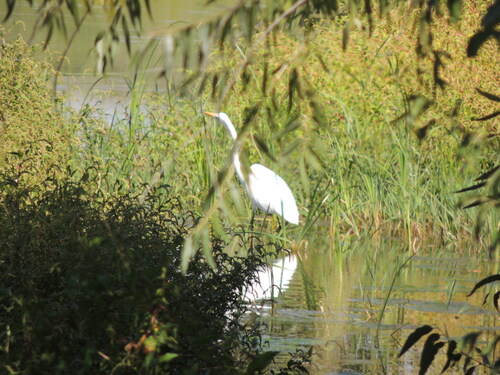
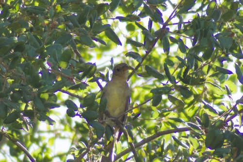
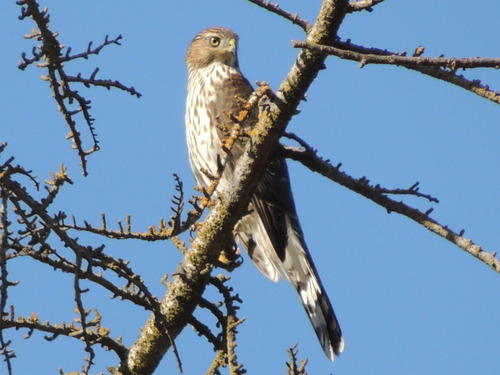
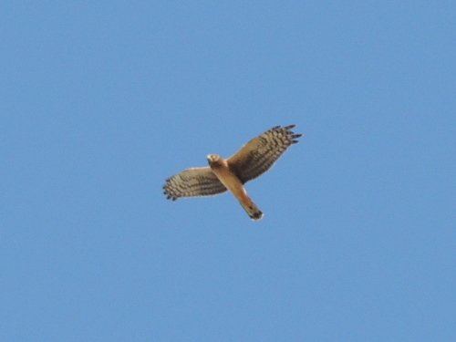
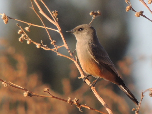
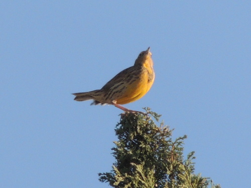
Research-grade observations from iNaturalist (within ~15 mi).
Nearest stream gauge
Events
Gallery
Sources
- • Wikipedia
- • US Census Bureau (ACS 5-year estimates)
- • Open-Meteo (ERA5 reanalysis)
- • NOAA National Weather Service
- • Wikidata
- • USGS Earthquake Catalog (global feed)
- • GBIF (Global Biodiversity Information Facility)
- • iNaturalist
- • Open-Meteo / sunrise-sunset.org
- • Wikipedia Pageviews API
- • Open Library
- • NASA EONET